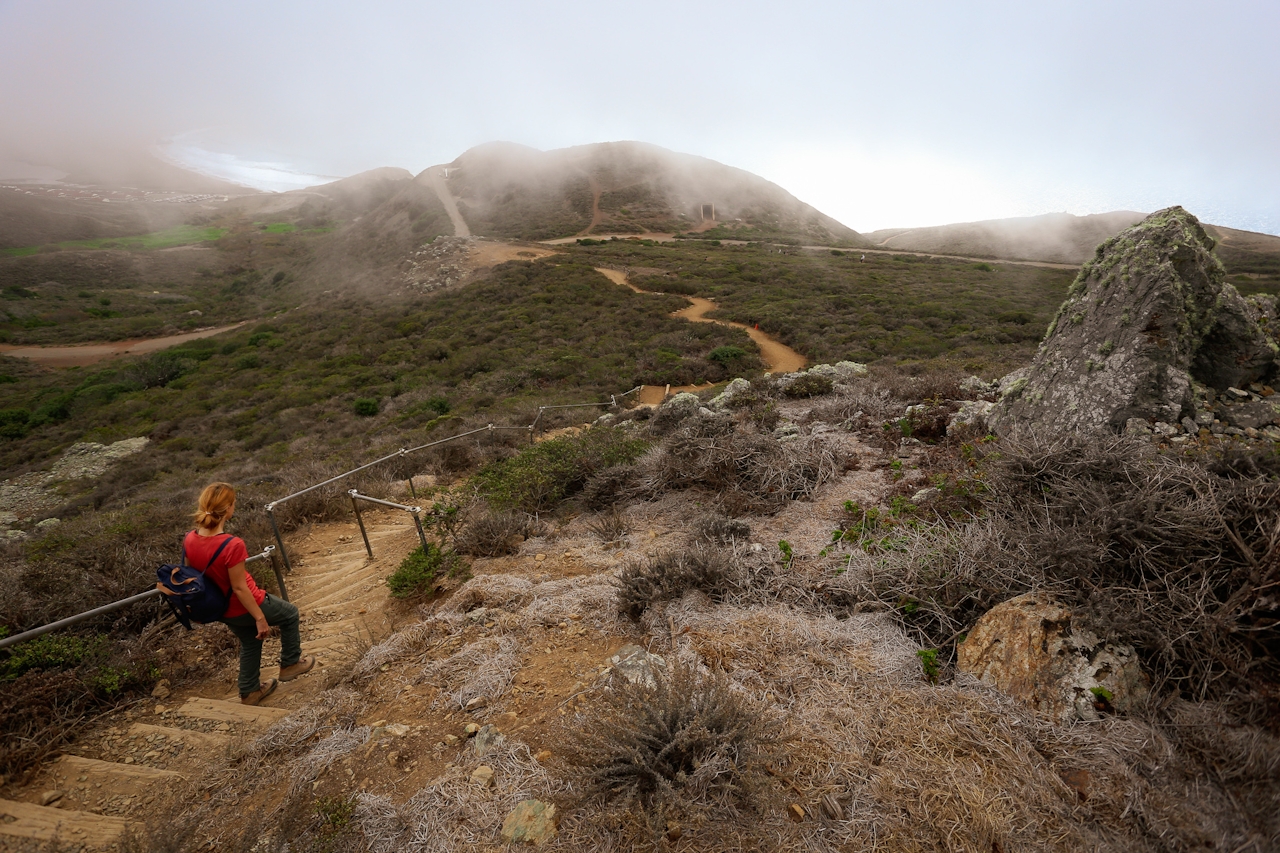
Hill Yeah!

Hike to Hill 88 in the Marin Headlands

Hike Hill 88 to Battery Townsley in Marin Headlands

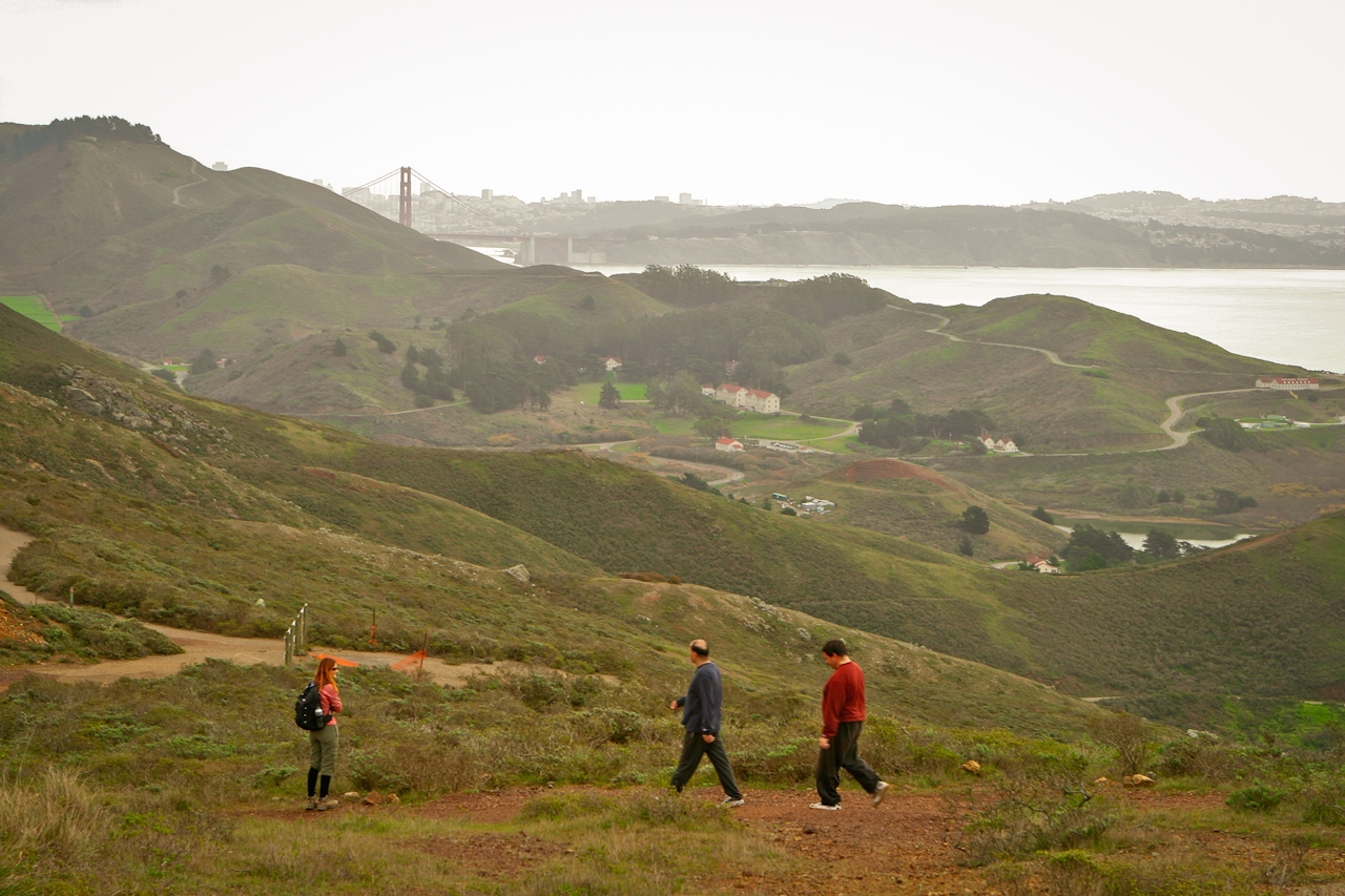
Explore the upper reaches of the wild yet accessible Marin Headlands on a 5.5-mile (round-trip) hike just 10 minutes from the Golden Gate Bridge. Though it stands at only 960 feet, Hill 88 features some of Marin’s best views from a peak not named Mount Tam.
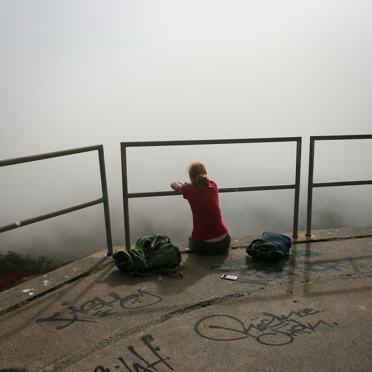
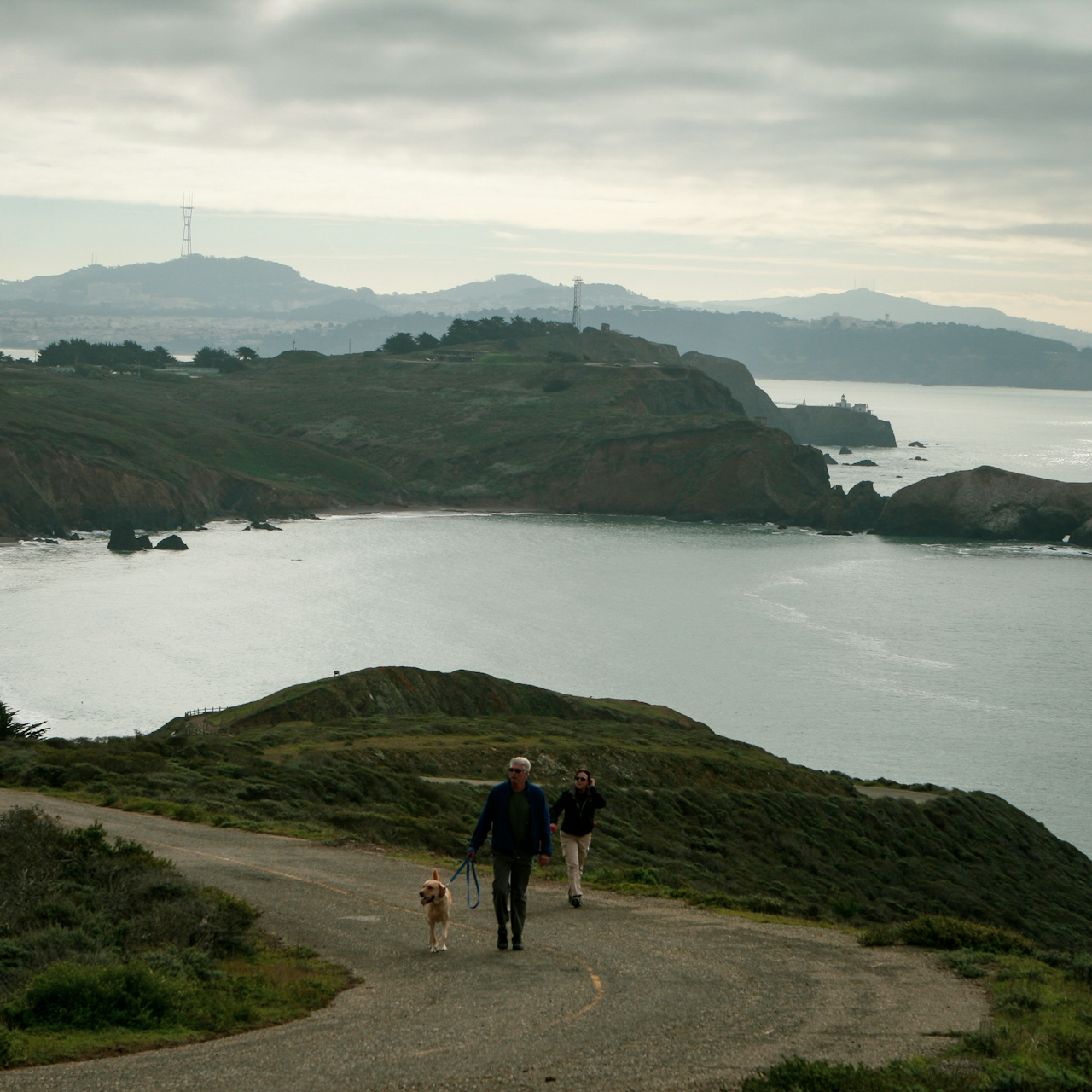
Starting at Fort Cronkhite, the Coastal Trail curves and climbs, with each step offering ever wider views. Keep going—the vista soon sweeps from the Pacific horizon to the Peninsula’s Montara Mountain and on to Mount Diablo. Even the tips of the Golden Gate Bridge peek over the headlands.
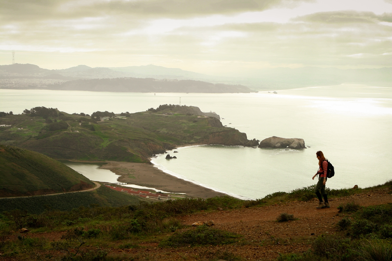
Hill 88 was a Nike missile radar site during the Cold War, and remaining buildings are the reminder relics. There are some nice spots to spread out a blanket for a picnic. Afterward, loop back down via the Wolf Ridge and Miwok Trail.
From Hwy. 101 in Marin, exit Alexander Ave. and stay to the right on the exit ramp. Turn left on Bunker Rd., go through the tunnel, and continue 3 miles to Rodeo Beach/Fort Cronkhite. Print a map of the area before you hike. Start on the Coastal Trail at the parking lot. You’ll follow this all the way up to Hill 88. Near the summit, you’ll pass the intersection for the Wolf Ridge Trail; continue up to the peak, but take the Wolf Ridge Trail when you descend. Follow Wolf Ridge Trail 0.75 mile to Miwok Trail and go right; continue on this for 1.5 miles (go straight at the intersection with Bobcat Trail). Cross Bunker Rd. and take the Lagoon Trail (on the southern side of Rodeo Lagoon) back to Rodeo Beach and your starting point. Dog-friendly!

Trending Stories NorCal

View all Stories
  1. Roaring Redwoods

    Tucked next to brilliant Henry Cowell Redwoods State Park in Santa Cruz, the folks at Roaring Camp Railroads had a bright idea: When the sun goes down, the rainbow lights come up. Sequoias at Night brings big magic to some of the tallest trees in the world.

    View
  2. Barbary Coast Trail medallion hike in San Francisco

    Medallion Walk SF

    The Barbary Coast Trail is a 3.8-mile historical walk and treasure hunt through San Francisco. Be on the lookout for hubcap-sized bronze medallions placed on the city sidewalks with arrows pointing you in the right direction.

    View
  3. Sponsored

    Autumn Magic in Yosemite Mariposa County

    Yosemite Mariposa County is where golden moments unfold all season long. Watch the sun's warm glow settle over El Capitan and Half Dome, then wander quietly in Mariposa Grove. Beyo

    View
  4. Greater by the Dozen

    This hike is anything but a dime a dozen. The all-new "Golden Gate Dozen Trail" links 12 National Park sites on a spectacular 13-mile journey across San Francisco's coastline.

    View

Trending Stories SoCal

View all Stories
  1. Inn-spiration Point!

    For more than a century, people have been hiking or mountain biking to West Point Inn for good reason. Perched at 1,785 feet on the southern slope of Mount Tamalpais, the historic inn has sweeping views from the Marin Headlands to the San Francisco skyline.

    View
  2. Shimmering Paddle

    Uniquely situated where the Russian River meets the rugged Pacific coast, Jenner is a shining star of kayaking destinations. It’s even better on a guided paddle at sunset, under a full moon, or during peak bioluminescent season.

    View
  3. Rancho Style

    Vicente Bluffs Reserve dazzles anytime, but during the golden hour it’s an absolute knockout. Majestic rocky bluffs, dreamy ocean views, and a picturesque lighthouse are just a few of the reasons.

    View
  4. A Thousand Steps to Paradise

    A picture is worth a thousand words, but is a gorgeous beach in Laguna worth a thousand steps? The answer is yes, though the question is moot, because it’s only 223 steep steps down to the 400-yard stretch of sand known as 1000 Steps Beach.

    View