Orinda Original

Do a short urban hike to big views in Orinda Oaks Park

A woman looks out to the scenery while standing next to a bench on a high point on a hike in Orinda Oaks Park in the East Bay

This 3.5-mile out-and-back through Orinda Oaks Park and Moraga offers scenic vistas right inside the city.
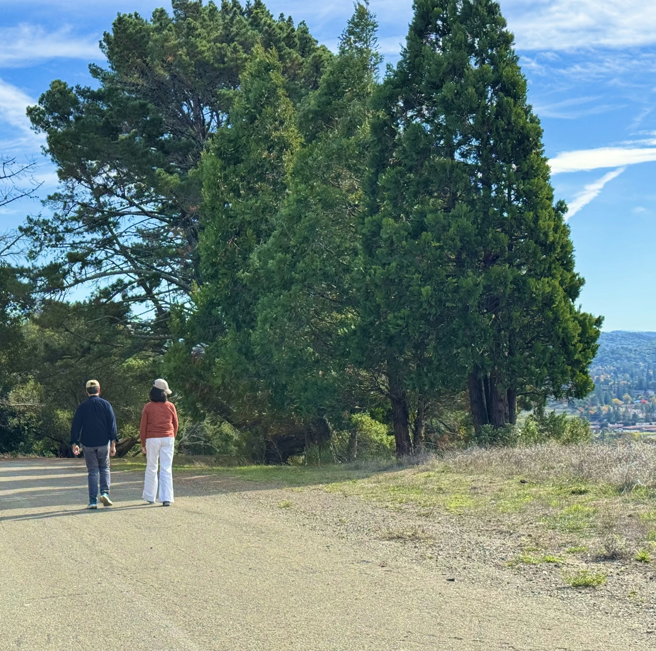
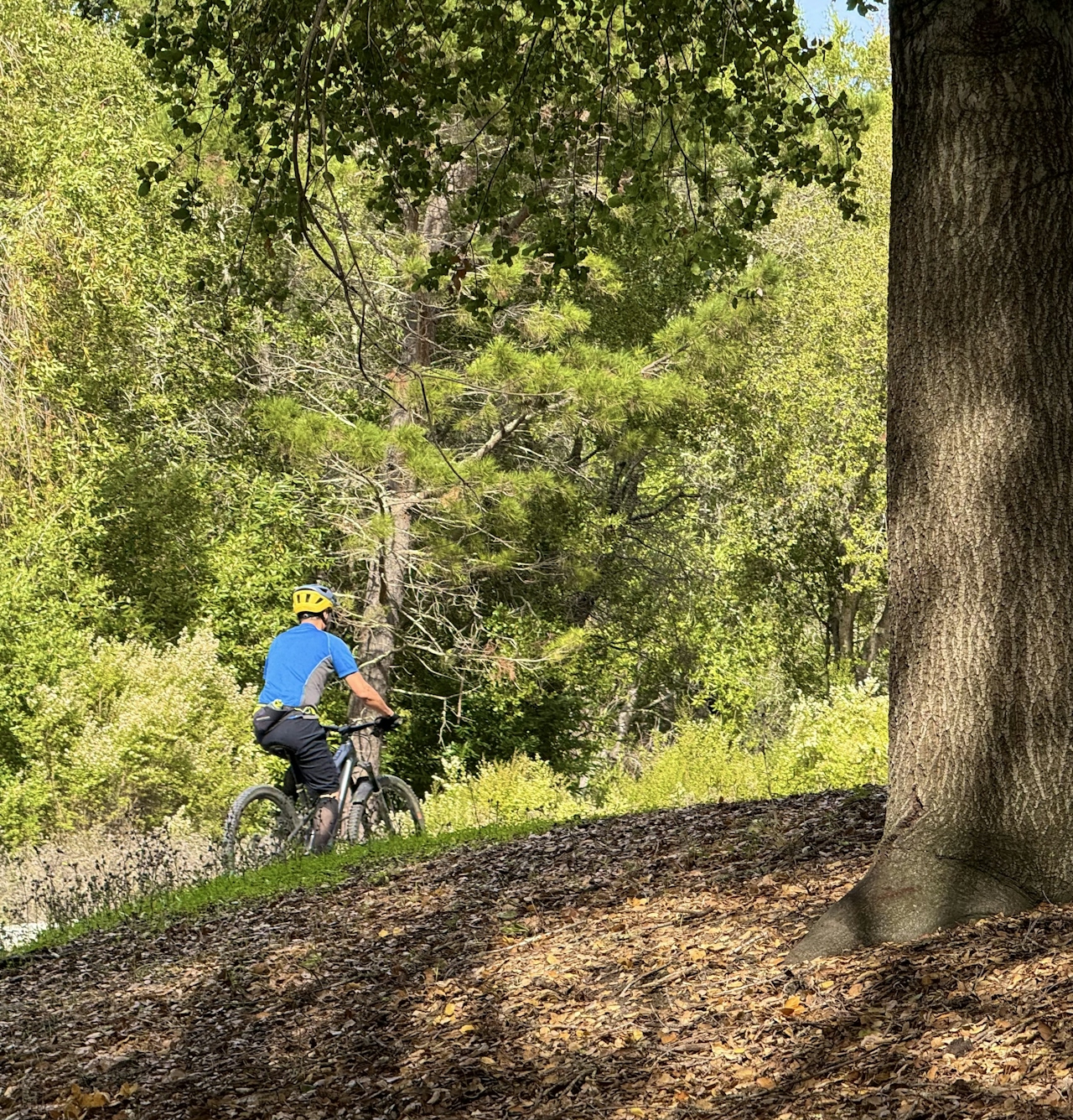
Two people walking a wide and flat trail at Orinda Oaks Park in the East Bay

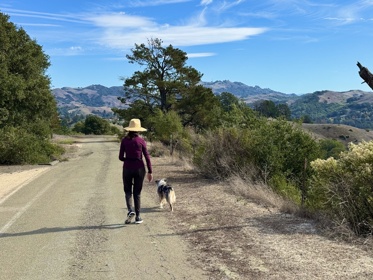
A woman walks her dog with views of the foothills in Orinda Oaks Park in the East Bay Contra Costa County

Start at the Orinda Oaks parking lot and head uphill on the Ridge Trail, a winding dirt path that quickly gains elevation as you pass enormous thistle flowers lining the route.

A woman hiker stops to smell the giant thistleflower on a hiking trail in Contra Costa County

Continue up toward Donald Drive. (It’s handy to use an online map here, as the official route is not the most obvious one.) Once you’ve reached Donald Drive, savor the view of the valley below.

Get Our Weekly Email

Find inspiration and ideas for outdoor adventures and travel in California and the West.

Turn right to walk along Donald Drive. Both Orinda Oaks Park and neighboring Mulholland Ridge Open Space are leash-optional areas, making this a dog-lover’s paradise! Enjoy walking alongside several fur-friends as you stroll far above Moraga. To the east, colossal Mount Diablo dominates the skyline.
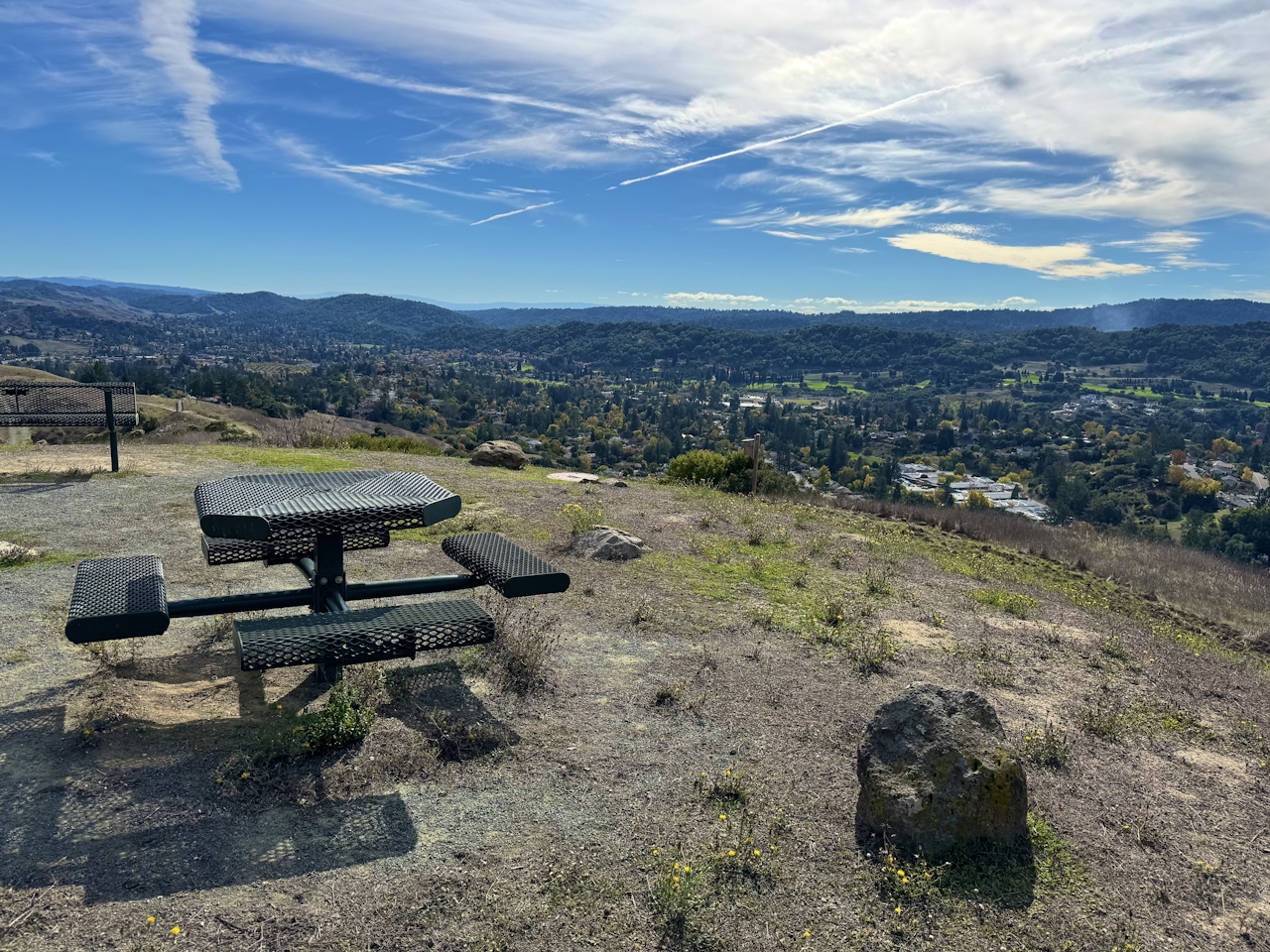
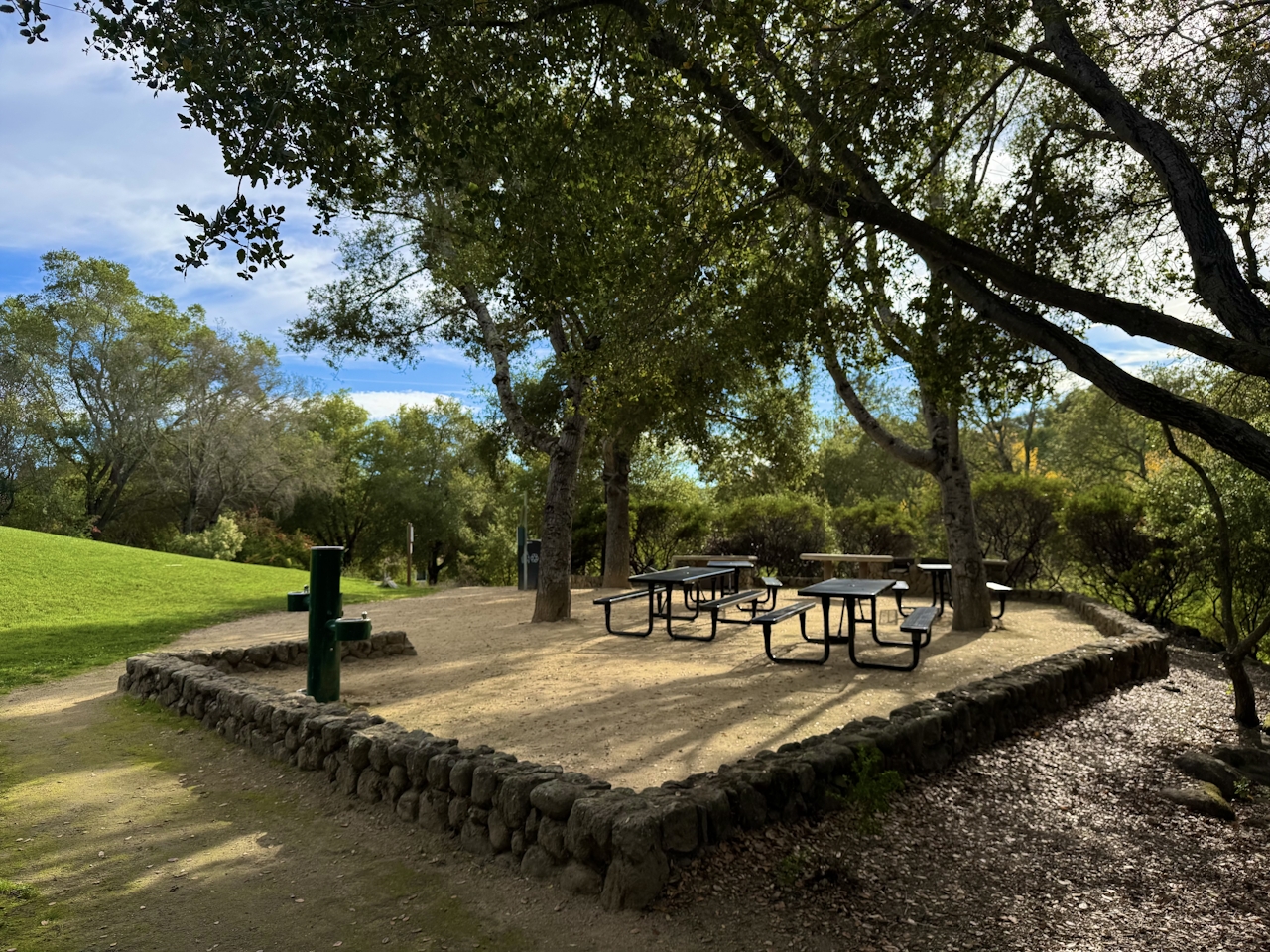
In a mile, the road makes a hairpin turn. After soaking up views of nearby vineyards, turn around and retrace the route back to Orinda Oaks Park. Here you’ll find a picnic area beside a bocce court and horseshoe pit. Enjoy a packed lunch before heading back to the parking lot.
The Orinda Oaks parking lot is located on Moraga Ave. in Orinda. Map. Dog-friendly!

Story and photos by Heather Werner, @heath.er.wer.ner

Trending Stories NorCal

View all Stories
  1. Sponsored

    Chasing Dark Skies: Southern Oregon

    Hot springs, hiking, lodging, antelope, and one of the world’s best places for looking up at night.

    View
  2. Woman with her arms outstretched to the rolling hills scenery while on a rock outcrop at Barnabe Peak in Samuel P Taylor Sate Park in Marin

    Barnabe Bonanza

    Sure, there are higher mountains in Marin (Mount Tam) and easier ascents (Mount Burdell), but is there a more expansive North Bay view? Barnabe Peak in Samuel P. Taylor State Park offers a glorious panorama including Mount Tam, Mount Diablo, and Mount St. Helena.

    View
  3. Tamtastic Sunset

    Sure, the East Peak of Mount Tam is absolutely spectacular at sunset, but some magic-hour enthusiasts head to a nearby spot, Trojan Point, for a little more personal space in their panoramic viewings.

    View

Trending Stories SoCal

View all Stories
  1. Lagoon Swoon

    We all love an underdog story, especially in the shadow of the greats. Enter a truly SoCal coastal version: Malibu Lagoon State Beach. Though situated next to Surfrider Beach, a fa

    View
  2. Woman hiking the San Onofre Bluffs Loop Trail to San Onofre State Beach in San Diego County

    Bluffing Good!

    Lovely coastline, beautiful beaches, unique geological history, and picturesque sandstone cliffs with limited foot traffic in San Diego County? Head to San Onofre State Beach and the 5-mile San Onofre Bluffs Loop Trail.

    View
  3. Tahoe's Trio of Lake Vistas

    They say good things come in threes, and it’s true when you embark on this 8-mile (round-trip) hike in Tahoe’s Desolation Wilderness. It gives you three excellent lake vistas: Eagl

    View