Winter Views of Big Blue

Cross Country Ski to a Tahoe Summit for Lake Views

When you’re ready to move up from gentle gliding to steeper climbs and descents, this 4-mile (round-trip) ski via High Meadows Road is an ideal place to practice your skills. This snow-covered dirt road begins with a gentle climb through pine and fir forest, a warm-up for the workout to come. At 0.7 mile, a signboard marks the route to High Meadows. Stay straight to cross a bridge spanning Cold Creek, then pass a small cabin on your right.

The grade increases from here, and your quads will feel the burn. In 0.5 mile, a boulder-lined meadow attracts the midday sun, thinning the snow cover. The next mile is the steepest of the day—dig in with your poles to give your legs a little help. At the summit, veer left off the road to gain a high clearing with a picturesque view of Lake Tahoe. Choose a snow-free boulder, have a seat, and revel in the snowy Sierra scenery. Then enjoy the fast-and-furious descent back to your car. You earned it.
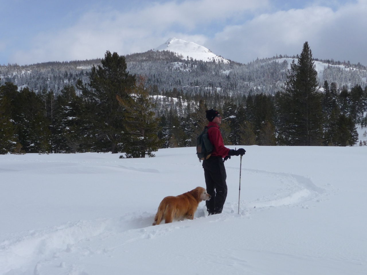
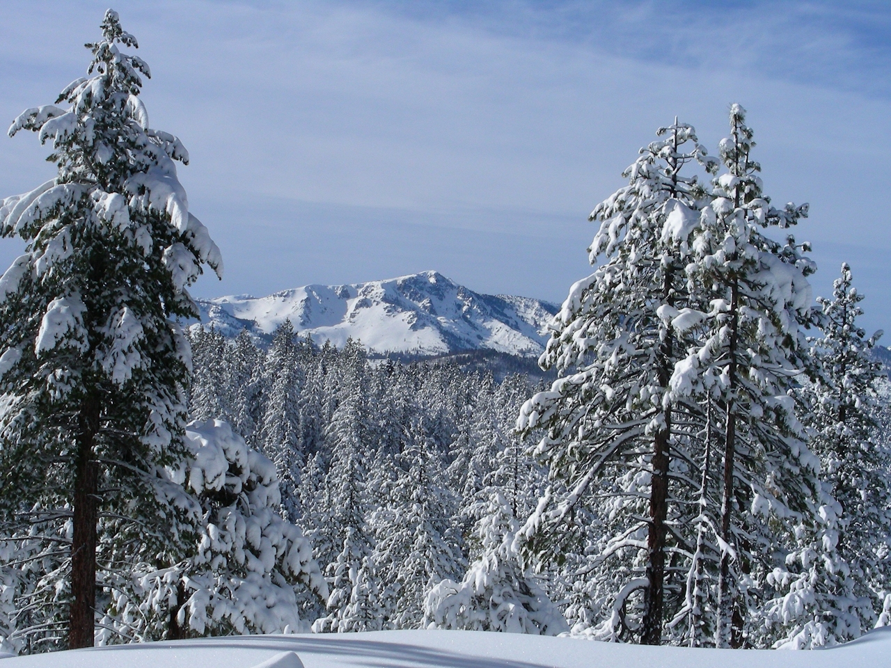
Trailhead: From US 50 in Meyers, turn east on Pioneer Trail and drive 3.2 miles to High Meadow Trail. Turn right and drive 0.8 mile to the end of the road. There are a number of gear rental options, including Lake of the Sky Outfitters, Sierra Ski & Cycle Works, Powder House, and Tahoe Sports LTD. Note: Check weather report before embarking on this adventure.

Trending Stories NorCal

View all Stories
  1. Hike Sierra Vista Open Space Preserve Mystery Walls

    Mystery Walls

    Crop circles, Stonehenge, California’s Mystery Walls … You don’t have to travel the world to see enigmas, including these stone walls within the South Bay's Sierra Vista Open Space Preserve.

    View
  2. Woman walking down the stairs overlooking the ocean on the Coastal Trail in San Francisco

    America's Best Urban Hike

    Long ago we dubbed it the “Grand Walk” and said it was one of the most scenic and stunning trails in the West. We were wrong. This is the most scenic urban hike in America!

    View
  3. Hike or Bike the Skyline

    A new section of the Bay Area Ridge Trail is open for biking, hiking, or horseback riding along the 12-mile (out-and-back) Skyline Watershed Ridge Trail.

    View

Trending Stories SoCal

View all Stories
  1. Sponsored

    Extra-Celestial Central Oregon

    Some trips promise you the moon and the stars. And this one delivers in a big way, plus throws in some extra planets for your viewing pleasure. From Bend, Sunriver, and Sisters to Antelope Basecamp in the remote high desert.

    View
  2. Tree Town

    Home to an estimated 21,000 trees and 100 acres of parkland, South Pasadena has earned its nickname: the City of Trees. This 2.5-mile neighborhood walk lets you experience its leafy canopy up close, winding through charming streets and three of the city’s beloved parks.

    View
  3. Tahoe's Trio of Lake Vistas

    They say good things come in threes, and it’s true when you embark on this 8-mile (round-trip) hike in Tahoe’s Desolation Wilderness. It gives you three excellent lake vistas: Eagl

    View





