Arroyo Arrival

Bike a bountiful section of the Arroyo Seco Bike Path in Los Angeles

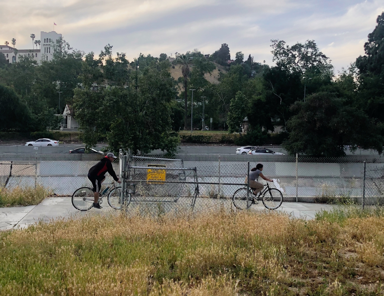
Bikers on the Arroyo Seco Bike Path in Los Angeles

Tucked on the border of East LA and South Pasadena, this 2-mile stretch of the Arroyo Seco (“dry stream” in Spanish) bike path begins at Montecito Recreation Center and ends at Arroyo Seco Park. The journey curves its way around Debs Regional Park and Hermon Park, with spectacular views of surrounding hills dotted with willows, oaks, and sycamore trees. Overhanging trees offer a secluded, serene protection from the bustle of surrounding traffic and some shade from the sun. Although the bike path runs parallel to the 110, the seasonal Arroyo Seco lends a natural buffer to the noisy freeway.
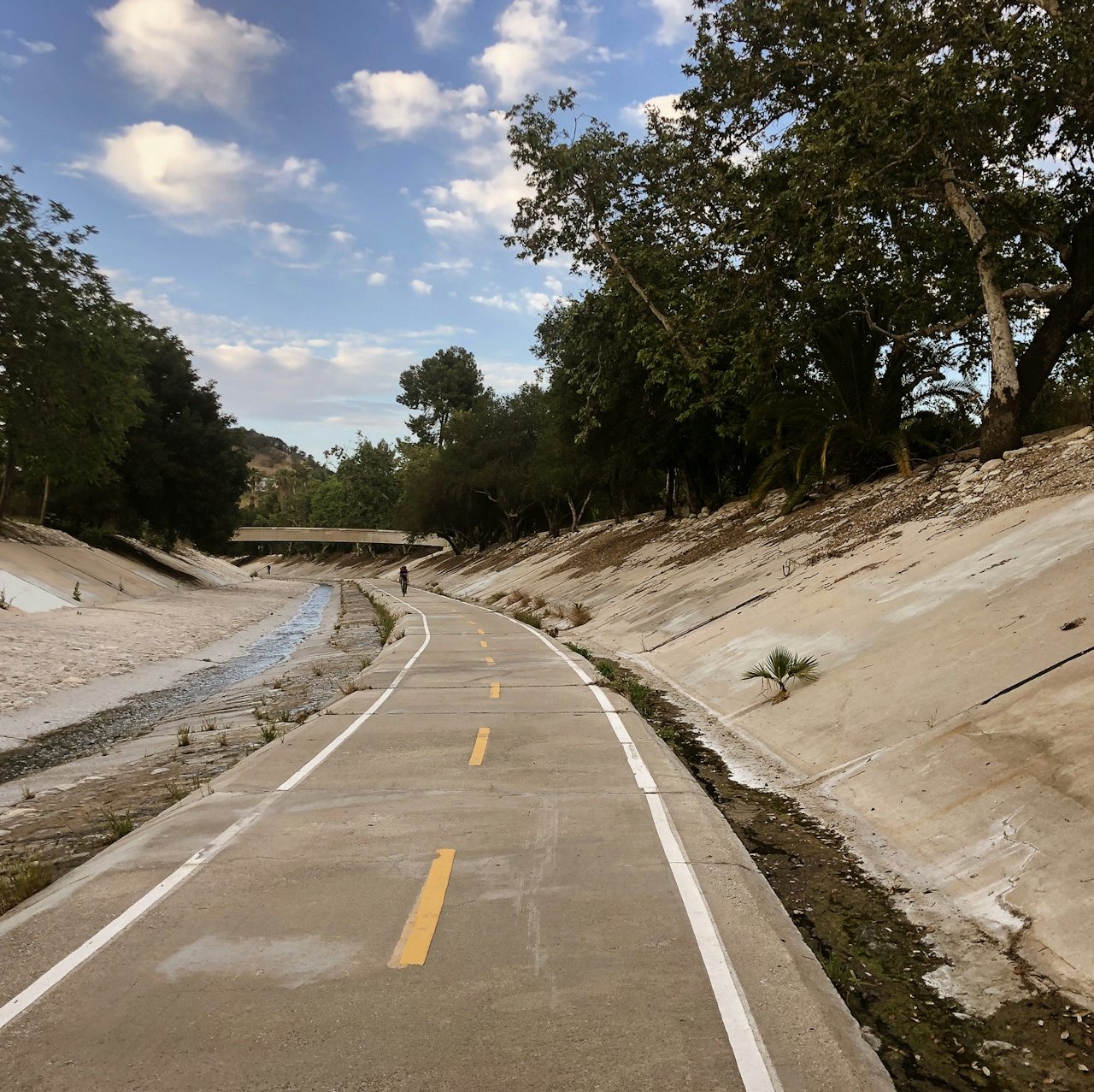
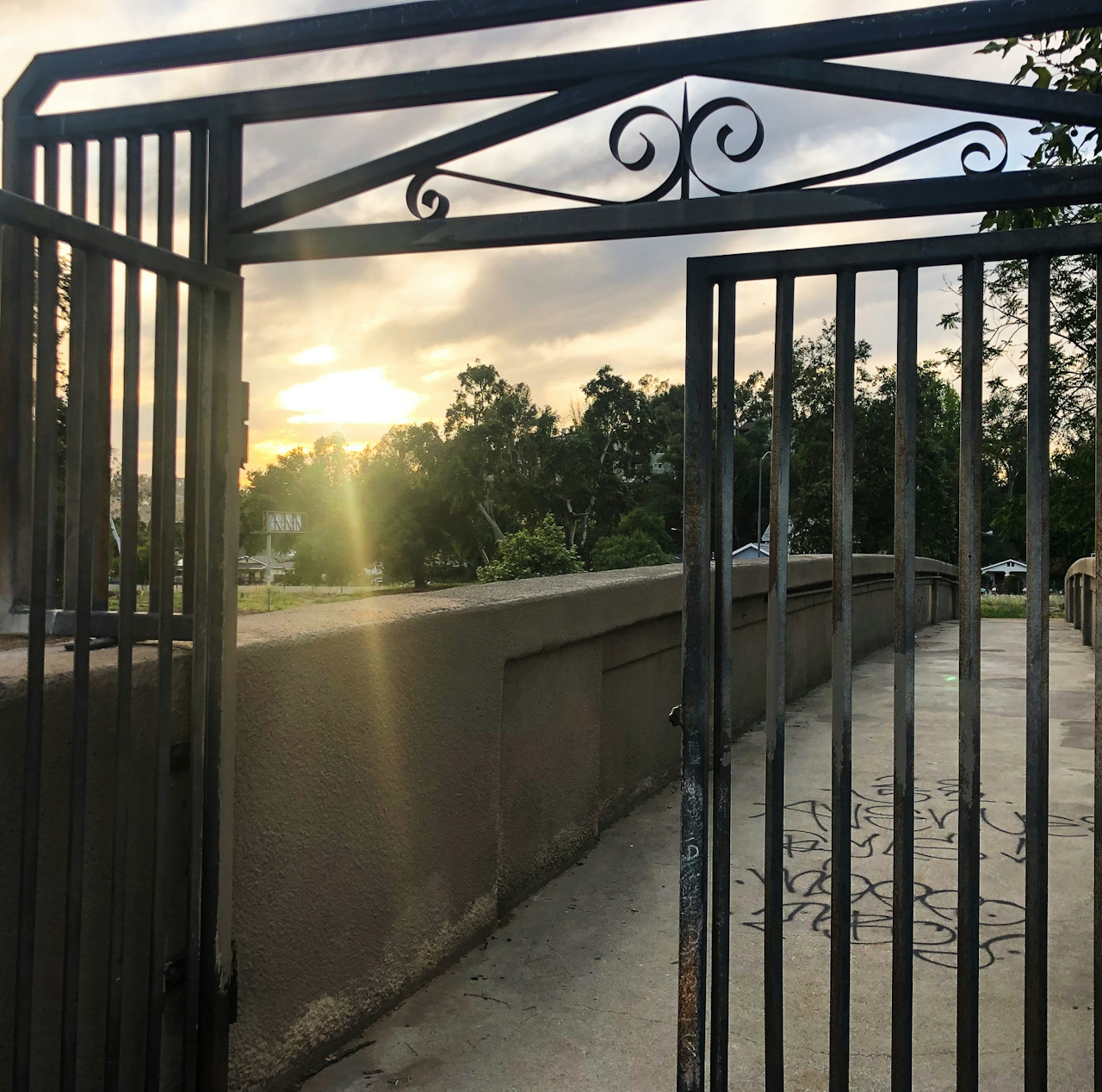
Biker on the Arroyo Seco Bike path in Los Angeles

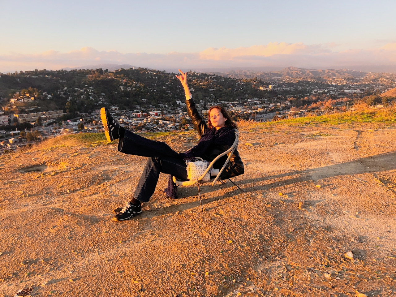
Person enjoying a summit view of Los Angeles from a peak in Debs Regional Park

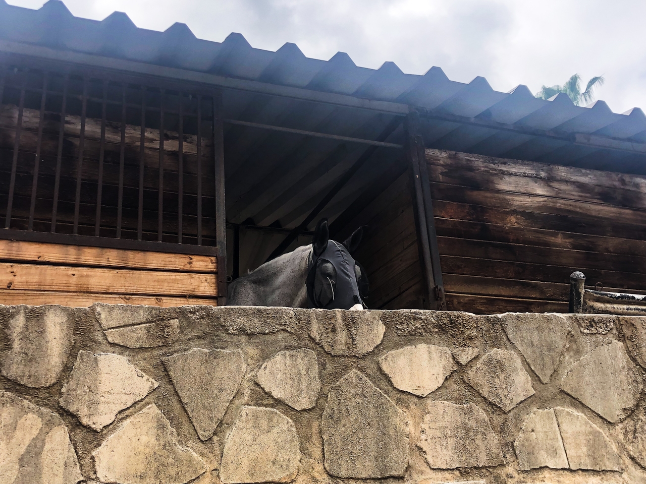
In addition to Debs and Hermon Parks, the Arroyo Seco Bike Path connects to Sycamore Grove Park, South Pasadena Nature Park, and the Arroyo Seco Golf Course. You can hike to the top of Debs for a gorgeous view of surrounding LA, picnic among the wildflowers at South Pasadena Nature Park, or swing by the Arroyo Seco Stables to catch a glimpse of the majestic horses residing right along the bike path.
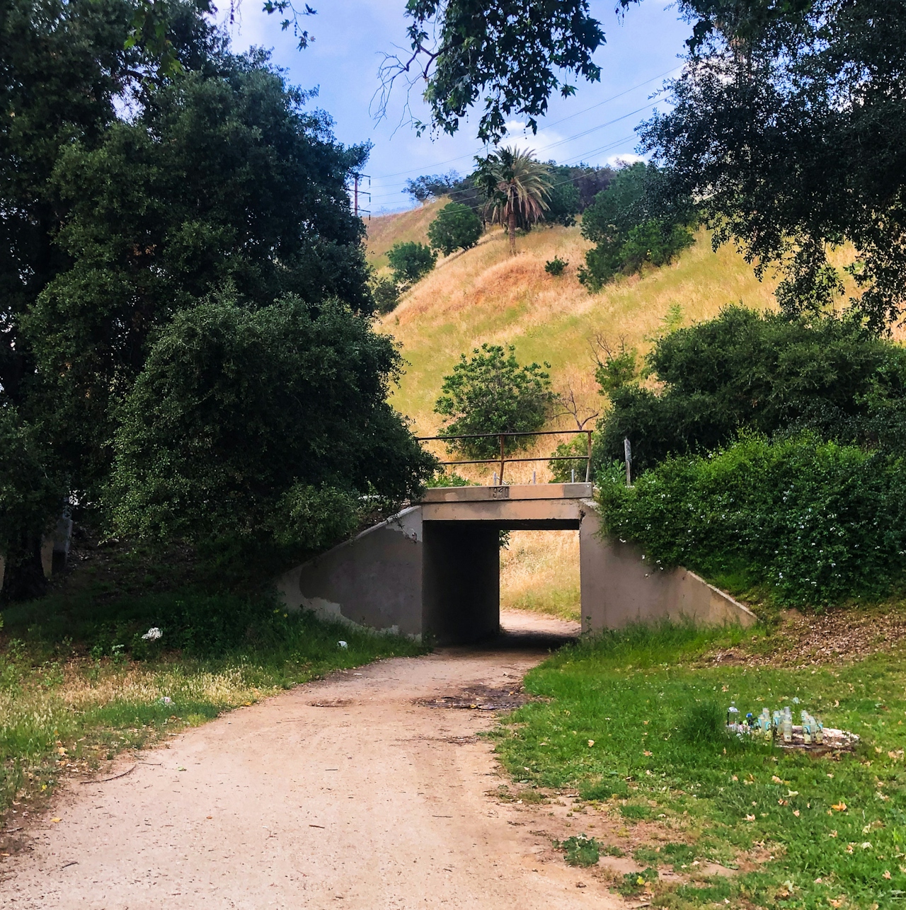
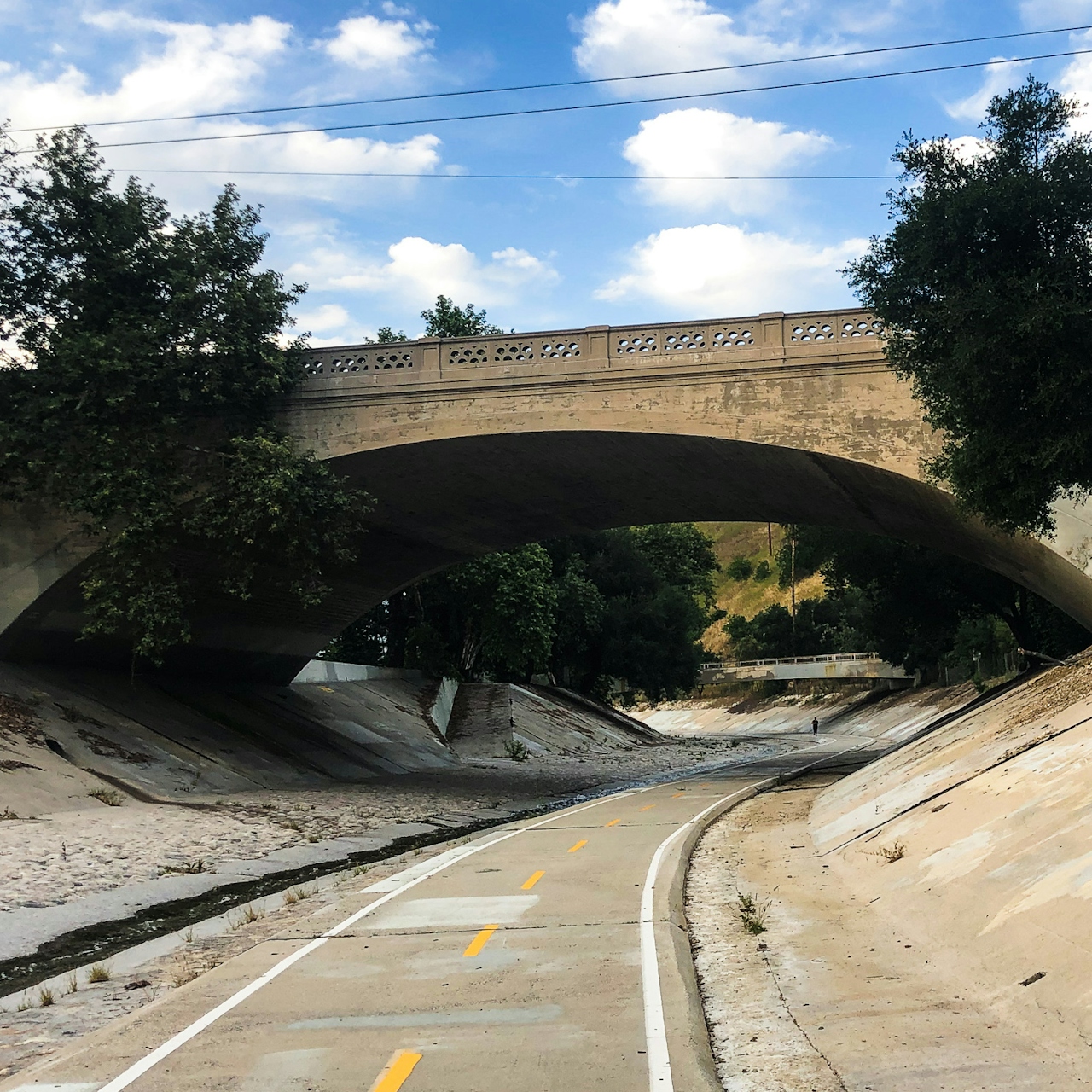
Bridge photo of Arroyo Seco in Los Angeles

Bikers on the Arroyo Seco Bike Path in Los Angeles

For architectural sights, keep an eye out for the numerous historic stone bridges crisscrossing the bike path with lofty archways featuring splendid details. Whether you stop at any of these destinations or simple enjoy the winding path, you will undoubtedly feel the serenity of the Arroyo Seco bike path’s convergence of art, history, and nature.
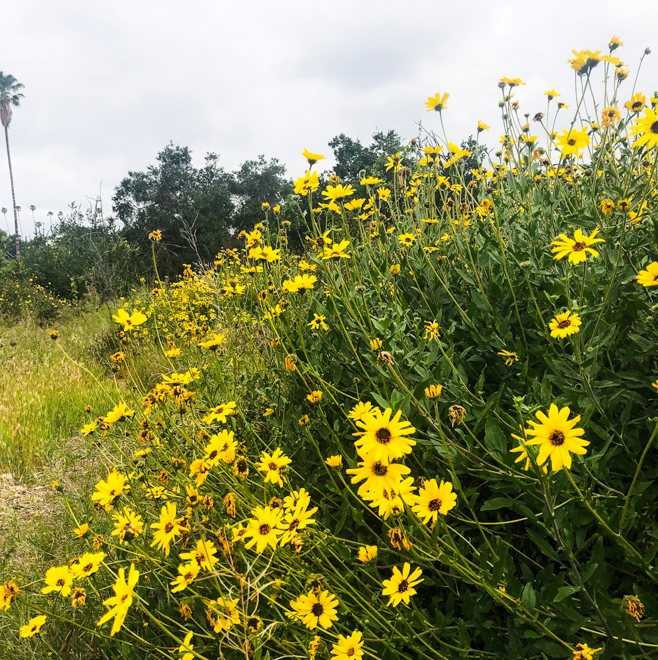
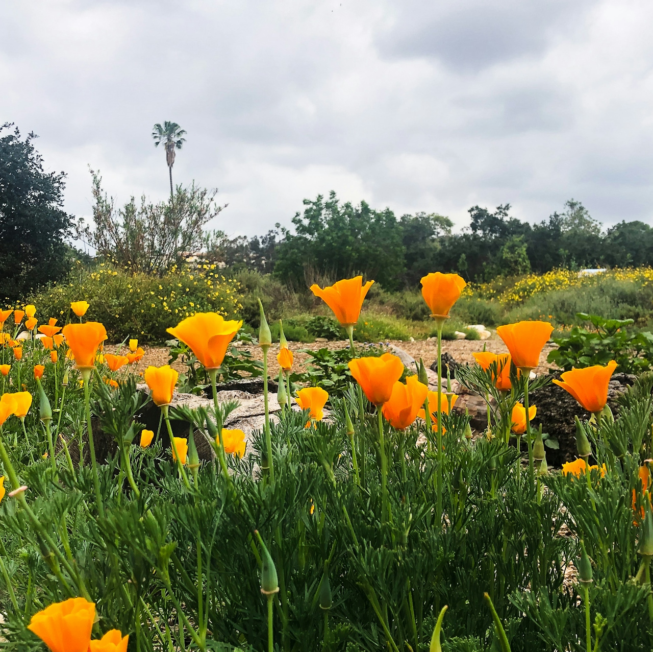
Wildflowers along the Arroyo Seco in Los Angeles

California poppy on the Arroyo Seco in Los Angeles

Hores in a stable

Take the 110 freeway to East Ave. 43 and follow Homer St. to the parking lot of the Montecito Recreation Center. Dog-friendly!

Story and photos by Lena Marceca

Trending Stories NorCal

View all Stories
  1. Woman with her arms outstretched to the rolling hills scenery while on a rock outcrop at Barnabe Peak in Samuel P Taylor Sate Park in Marin

    Barnabe Bonanza

    Sure, there are higher mountains in Marin (Mount Tam) and easier ascents (Mount Burdell), but is there a more expansive North Bay view? Barnabe Peak in Samuel P. Taylor State Park offers a glorious panorama including Mount Tam, Mount Diablo, and Mount St. Helena.

    View
  2. Tamtastic Sunset

    Sure, the East Peak of Mount Tam is absolutely spectacular at sunset, but some magic-hour enthusiasts head to a nearby spot, Trojan Point, for a little more personal space in their panoramic viewings.

    View
  3. Hiker on the SCA trail in Marin Headlands with view of the Golden Gate Bridge

    Headlands Over Heels

    People come from all over the world to get a glimpse of the Golden Gate Bridge. Get a dramatic and novel view of the bridge without all the people on this moderate 6-mile hike in the Marin Headlands.

    View

Trending Stories SoCal

View all Stories
  1. Lagoon Swoon

    We all love an underdog story, especially in the shadow of the greats. Enter a truly SoCal coastal version: Malibu Lagoon State Beach. Though situated next to Surfrider Beach, a fa

    View
  2. Woman hiking the San Onofre Bluffs Loop Trail to San Onofre State Beach in San Diego County

    Bluffing Good!

    Lovely coastline, beautiful beaches, unique geological history, and picturesque sandstone cliffs with limited foot traffic in San Diego County? Head to San Onofre State Beach and the 5-mile San Onofre Bluffs Loop Trail.

    View
  3. Can We Get a Whoop Whoop!

    City, mountain, and ocean views all in one hike? Whoop whoop! It’s no surprise the the Kenter Fire Road and Whoop-de-Doos Trail (a combo of fire road and singletrack) is a favorite among local mountain bikers and hikers alike.

    View