Wildflower Dreamscape

A Wildflower Walk on Tejon Ranch

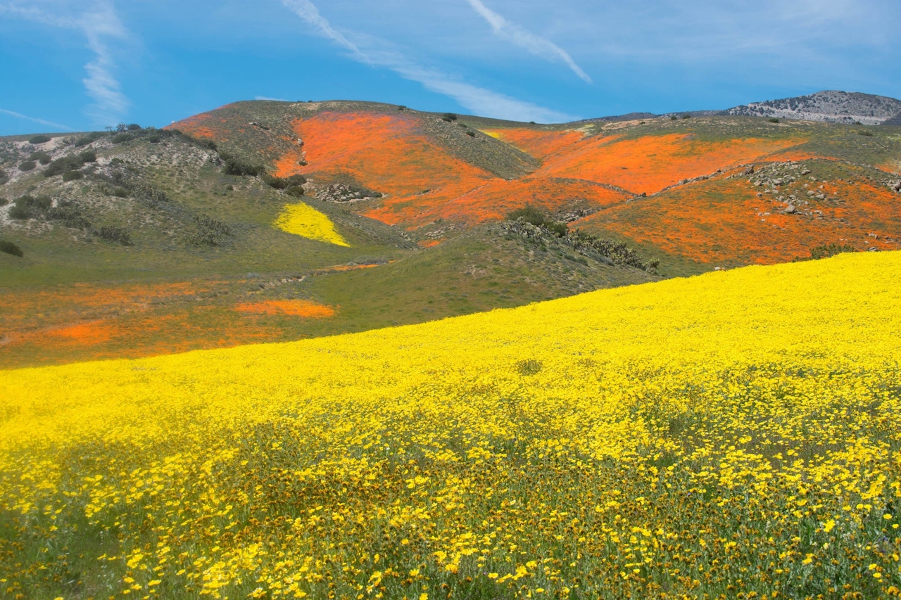
A sea of wildflowers can have you starring in your own Technicolor dream. The sprawling Tejon Ranch is set on 270,000 acres north of Santa Clarita and south of Bakersfield, incorporating parts of the San Joaquin and Antelope Valleys and the Tehachapi Mountains. It is private land, but the Tejon Ranch Conservancy holds guided wildflower viewings (limited in size), and other interesting events and hikes throughout the year.

Wildflower seasons may vary in how much bloom you'll see, but these outings are beautiful and informative even when florals aren't at peak flourish.

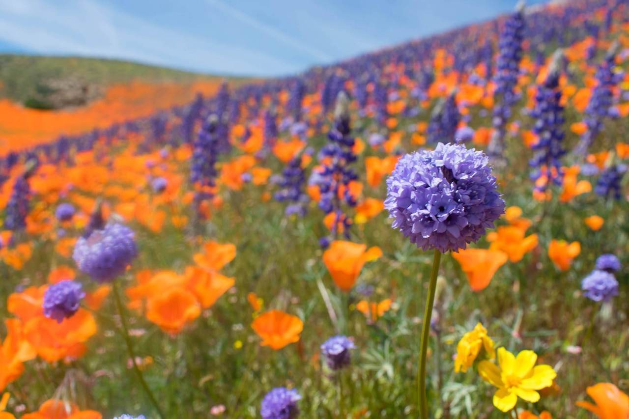
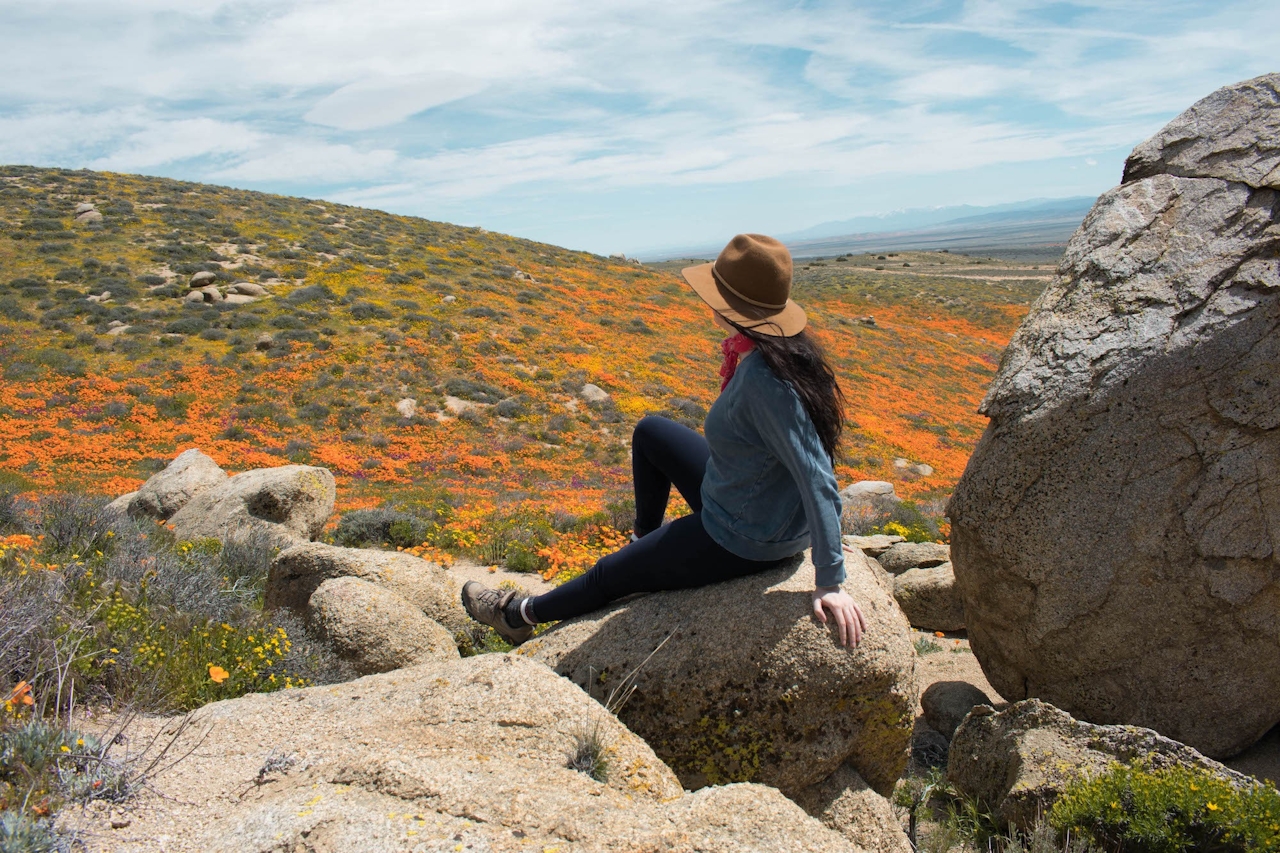
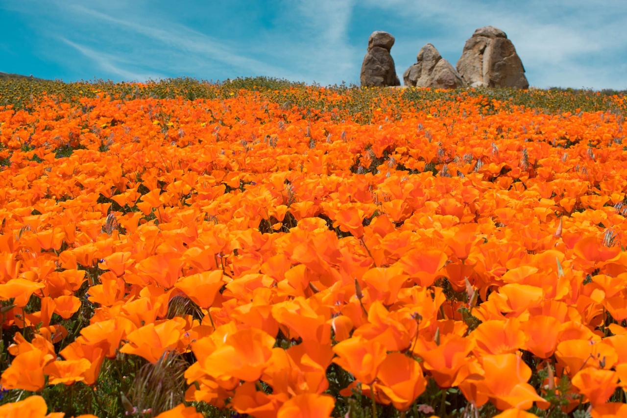
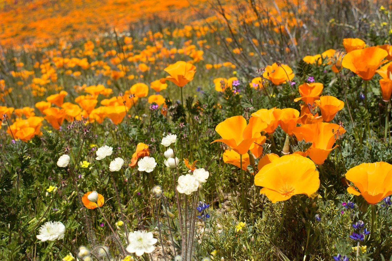
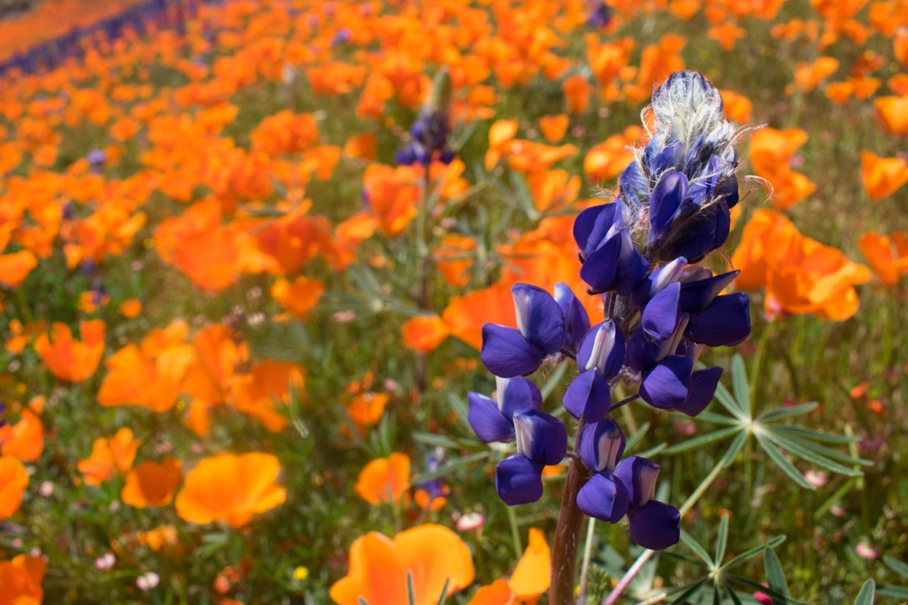
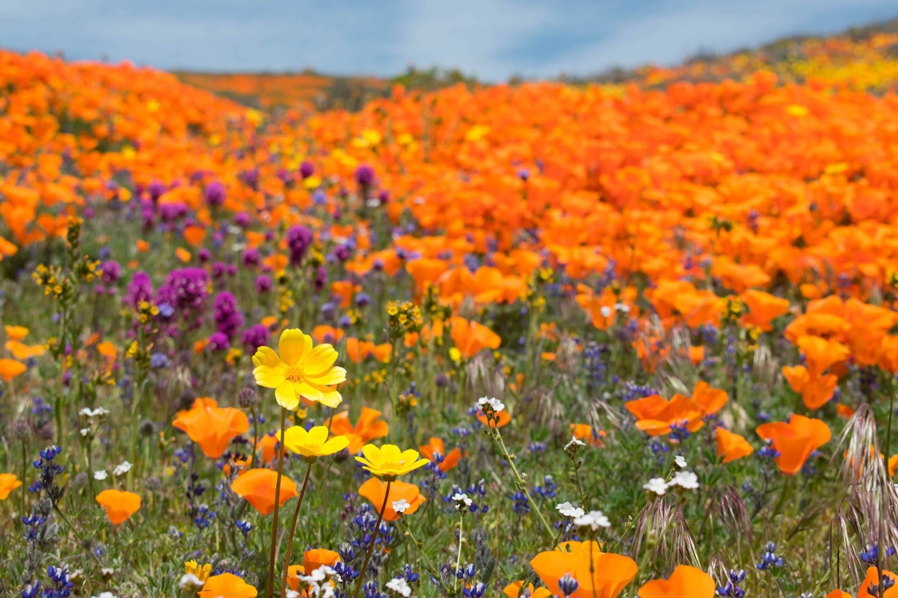
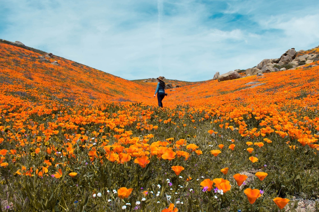
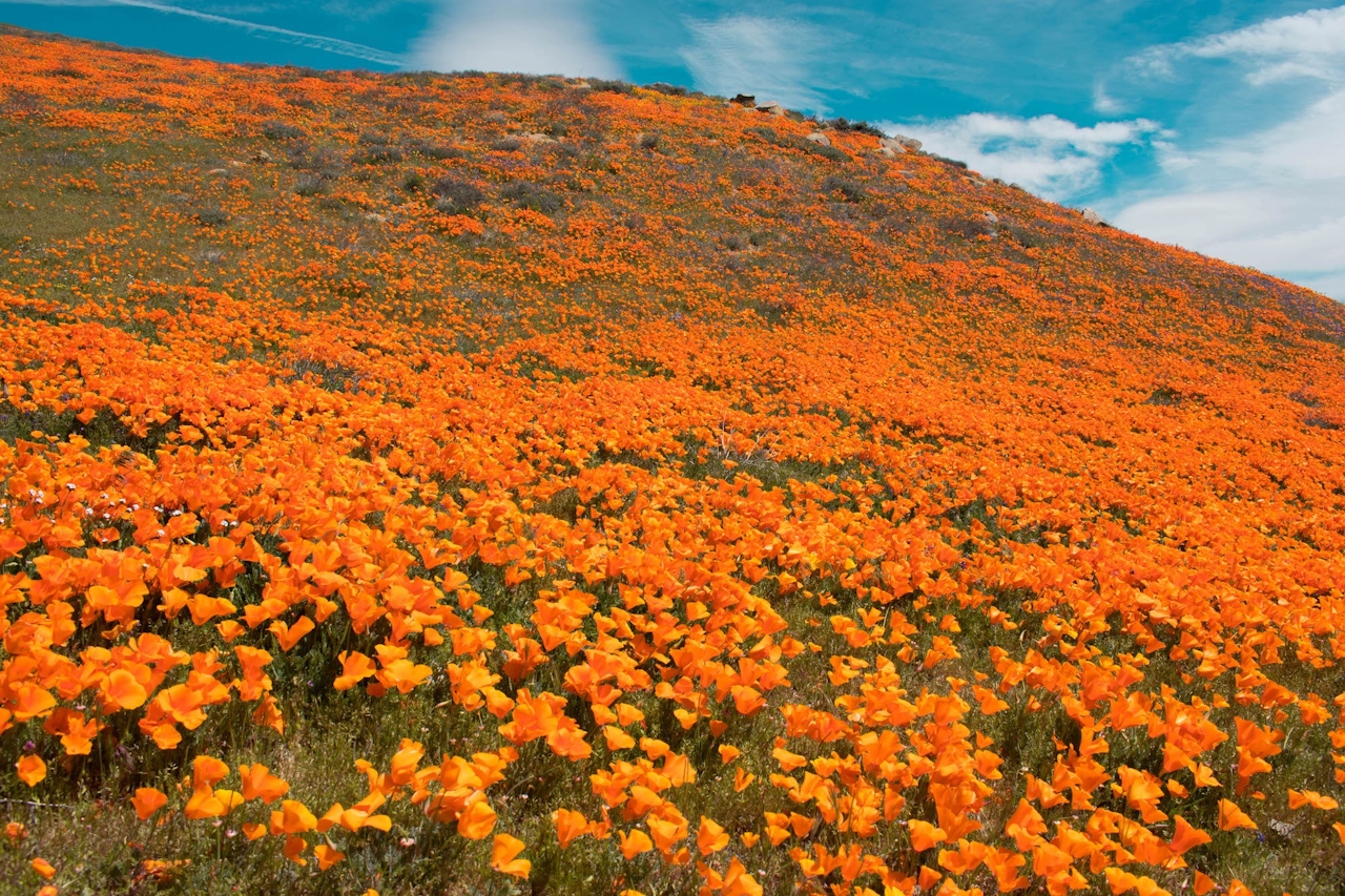
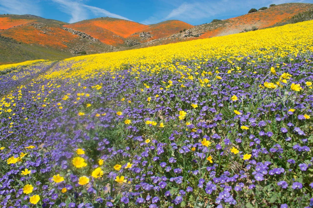
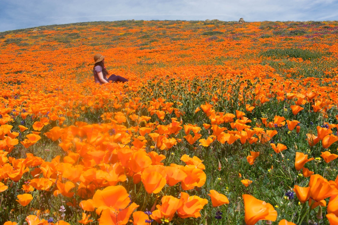
On a wildflower outing, docents help you explore the colorful hills, immerse yourself in the flowers, and watch out for snakes. Just be gentle with the flowers and step around them whenever possible. The sound of singing meadowlarks fills the air as breezes ripple grasslands. Orange California poppies, purple lupine, yellow daisies and more can feature here. Be sure to keep your eyes open for rare yellow poppies! The flowers can create a stunning contrast, set against the high desert terrain below you and the snowcapped San Gabriel Mountains in the distance as you explore this transition zone of rolling green. The whole scene is surreal—like a very beautiful dream.
Tejon Ranch is located off CA-138 in the Antelope Valley. From the I-5, take CA-138 east toward Lancaster and Palmdale. After approximately 9 miles, you’ll turn left on 300th St. W. to head toward the ranch. Reservations are required for a tour, and once you’re confirmed, the conservancy will send you the exact GPS coordinates for your meeting site. It will entail travel on dirt roads, but high clearance is not required. At least six more wildflower tours are scheduled for this month, but they fill up, so go to the conservancy calendar and book soon. Each individual must book his or her own tour. No dogs.

Trending Stories NorCal

View all Stories
  1. Woman with her arms outstretched to the rolling hills scenery while on a rock outcrop at Barnabe Peak in Samuel P Taylor Sate Park in Marin

    Barnabe Bonanza

    Sure, there are higher mountains in Marin (Mount Tam) and easier ascents (Mount Burdell), but is there a more expansive North Bay view? Barnabe Peak in Samuel P. Taylor State Park offers a glorious panorama including Mount Tam, Mount Diablo, and Mount St. Helena.

    View
  2. Tamtastic Sunset

    Sure, the East Peak of Mount Tam is absolutely spectacular at sunset, but some magic-hour enthusiasts head to a nearby spot, Trojan Point, for a little more personal space in their panoramic viewings.

    View
  3. Hiker on the SCA trail in Marin Headlands with view of the Golden Gate Bridge

    Headlands Over Heels

    People come from all over the world to get a glimpse of the Golden Gate Bridge. Get a dramatic and novel view of the bridge without all the people on this moderate 6-mile hike in the Marin Headlands.

    View

Trending Stories SoCal

View all Stories
  1. Woman hiking the San Onofre Bluffs Loop Trail to San Onofre State Beach in San Diego County

    Bluffing Good!

    Lovely coastline, beautiful beaches, unique geological history, and picturesque sandstone cliffs with limited foot traffic in San Diego County? Head to San Onofre State Beach and the 5-mile San Onofre Bluffs Loop Trail.

    View
  2. Can We Get a Whoop Whoop!

    City, mountain, and ocean views all in one hike? Whoop whoop! It’s no surprise the the Kenter Fire Road and Whoop-de-Doos Trail (a combo of fire road and singletrack) is a favorite among local mountain bikers and hikers alike.

    View
  3. The Big Chill

    In LA, finding a place to chill can be the ultimate flex. So flex, in Franklin Canyon! This unexpected oasis has plenty of shade, cool lake breezes, and ample picnicking spots. Enjoy it on an easy-going 1-mile stroll along its reservoir and duck pond.

    View