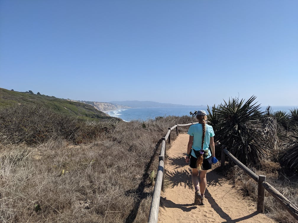
Secret Trail at Torrey Pines
Find a secret hike at Torrey Pines State Natural Reserve in San Diego County

Pining for a signature San Diego beach day but can’t decide where to go? Head to Torrey! Nestled between SD County coastal gems La Jolla and Del Mar, Torrey Pines State Natural Reserve truly has it all. You can find cliff climbs, sandy strolls, and secret hikes throughout "America’s finest sandy stretch." Here are three ways to explore.

THE CLASSIC: Park at the historic Torrey Pines Lodge and Visitor Center parking lot perched along the reserve’s famous bluffs ($15/day or get a State Parks pass). Check out the small nature and history museum and grab a trail map to best prepare for your complete exploration of the park’s winding trail system. Start on the beach trail across the road. This is a highlight trek for its show-stopping coastal views enjoyed from multiple overlooks.

There’s the rocky outcropping Red Butte at the beginning of the path as well as two impressive vista locales: Razor Point and Yucca Point overlooks, both giving expansive Pacific panoramas and views into the sandstone canyons. You’ll descend through chaparral classics such as laurel sumac, toyon, sagebrush, and manzanita, but the tree-de-force is of course the Torrey pine. This is the only natural spot in the world to see these trees other than on Santa Rosa and San Miguel in the Channel Islands. Head down the beach trail’s 100+ steps to reach the sand. Or explore the remainder of the reserve’s 5 miles of trails, including the North and South Fork Trails, the Parry Grove Trail and the Guy Fleming Trail, which has perhaps the most impressive array of the endangered trees.


THE BEACH: Leave your car at the lodge or park at the south Torrey Pines Beach lot and head to the pristine stretch of San Diego sand. The beach ends just a half-mile to the north, cut off by the deposit of Los Peñasquitos Creek from the neighboring lagoon—you can’t hike there but you can spy local waterfowl hunting in the marsh. Our favorite beach walk is a 4-mile (round-trip) stroll south to Black’s Beach. It’s awe-inspiring to walk between the towering sandstone cliffs and the endless blues of the Pacific.

Look for ospreys and even nesting peregrine falcons up above, and just past the final trail that heads up the bluffs you can find Flat Rock (formerly known as Bathtub Rock, due to gathering a pool of water on its surface). NOTE: Here, the final stretch to Black’s Beach should only be attempted at low tide, so plan accordingly!

THE SECRET: Want to escape the crowds at Torrey Pines State Natural Reserve? Head to the park’s extension, a relatively (but undeservedly) unknown green space that offers more hiking trails and fewer hikers. Park at the end of Del Mar Scenic Parkway (free) to find the sole trailhead heading into a serene canyon.

You have two options: the Mar Scenic Trail to the left, a 2-mile loop with an overlook not to be overlooked, and the 1-mile out-and-back Margaret Fleming Nature Trail to the right. Both are more shaded than their famous counterpart and should be explored for the stunning canyon setting and phenomenal views of the Torrey Pines coast.

To get to the Torrey Pines State Natural Reserve, take the I-5 and exit Del Mar Heights Rd., heading west. After 1 mile, turn left onto Camino Del Mar and after 0.7 mile continue onto Torrey Pines Rd. to the state park entrance gate and parking lots. Alternatively, take the CA-56 and exit El Camino Real and continue straight onto Carmel Valley Rd. for 1.8 miles and then take a left onto Torrey Pines Rd. No dogs!
Story and photos by Matt Pawlik


