The Tortoise In Its Lair
Hiking the Desert Tortoise Natural Area in the Mojave Desert


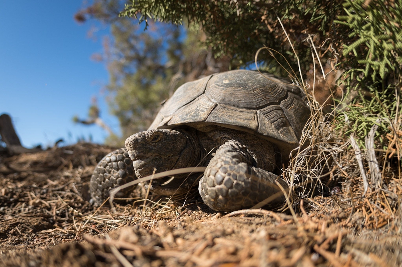
The Mojave Desert’s most extraordinary creatures are rarely seen, but at the Desert Tortoise Research Natural Area, you’ll have your best chance. Tortoises live in higher density in the 39.5-square-mile preserve than in other parts of the Mojave, and now is the best time to visit, as they emerge from their burrows in spring to feed on flowers and foliage. Once summer heat takes hold, they tend to stay underground.
The preserve, just northeast of California City, lies on a vast plain of sage and creosote, with the southern tip of the Sierra Nevada visible to the west. You can choose from four interpretive loop trails, each with numbered stops pointing out unique plants and animals. A naturalist in the interpretive center (on duty until early June) can suggest the best areas for spotting tortoises and can tell you all about these venerable reptiles who have survived in the Mojave for millions of years—and how the burgeoning raven population threatens the tortoises here.
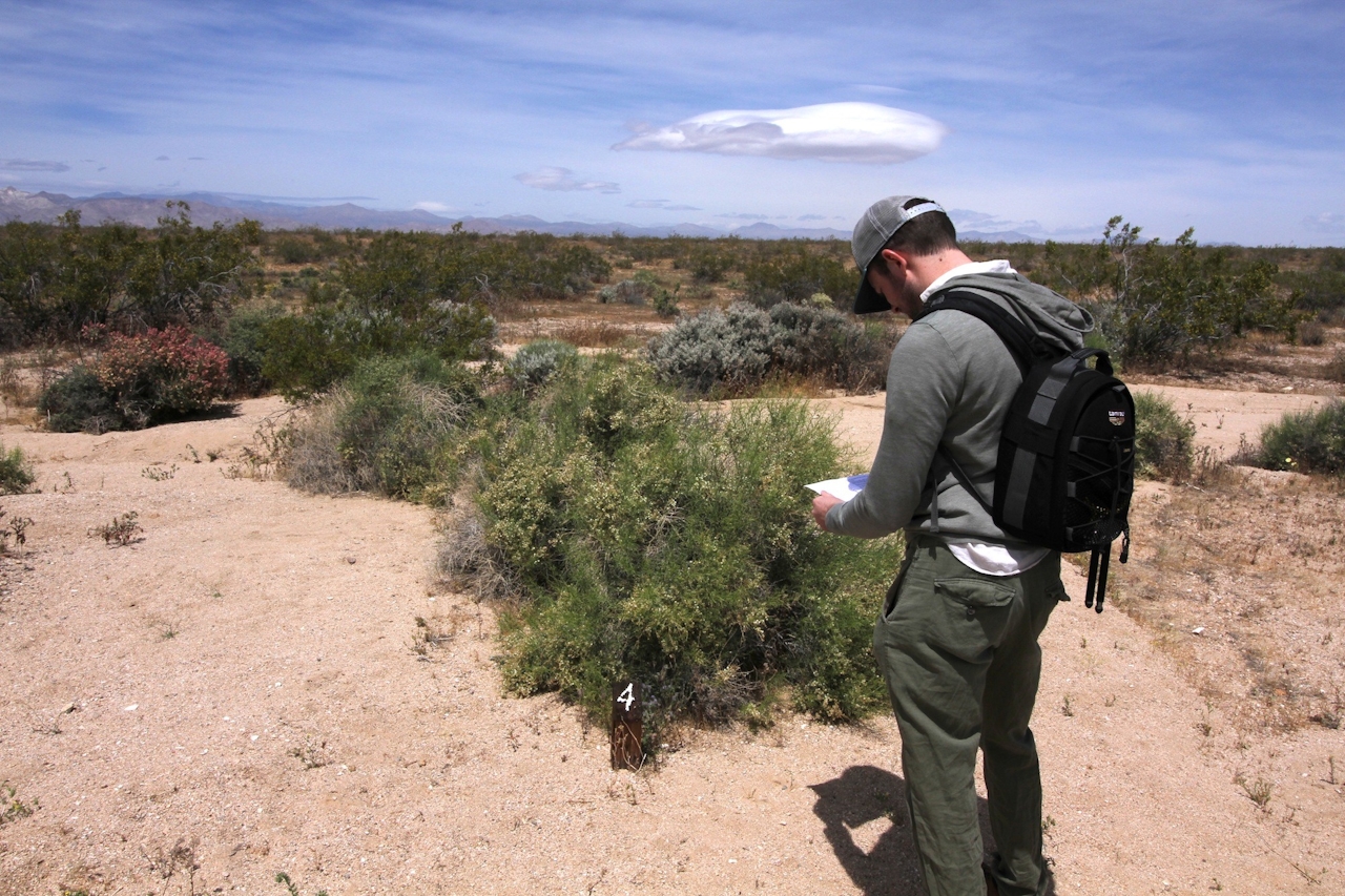
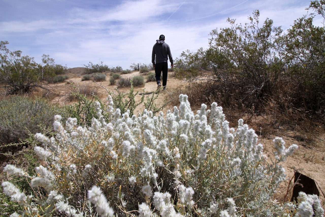
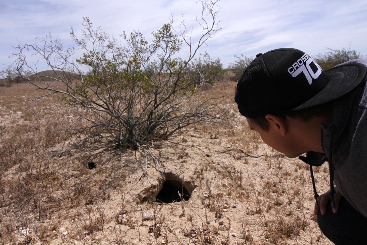
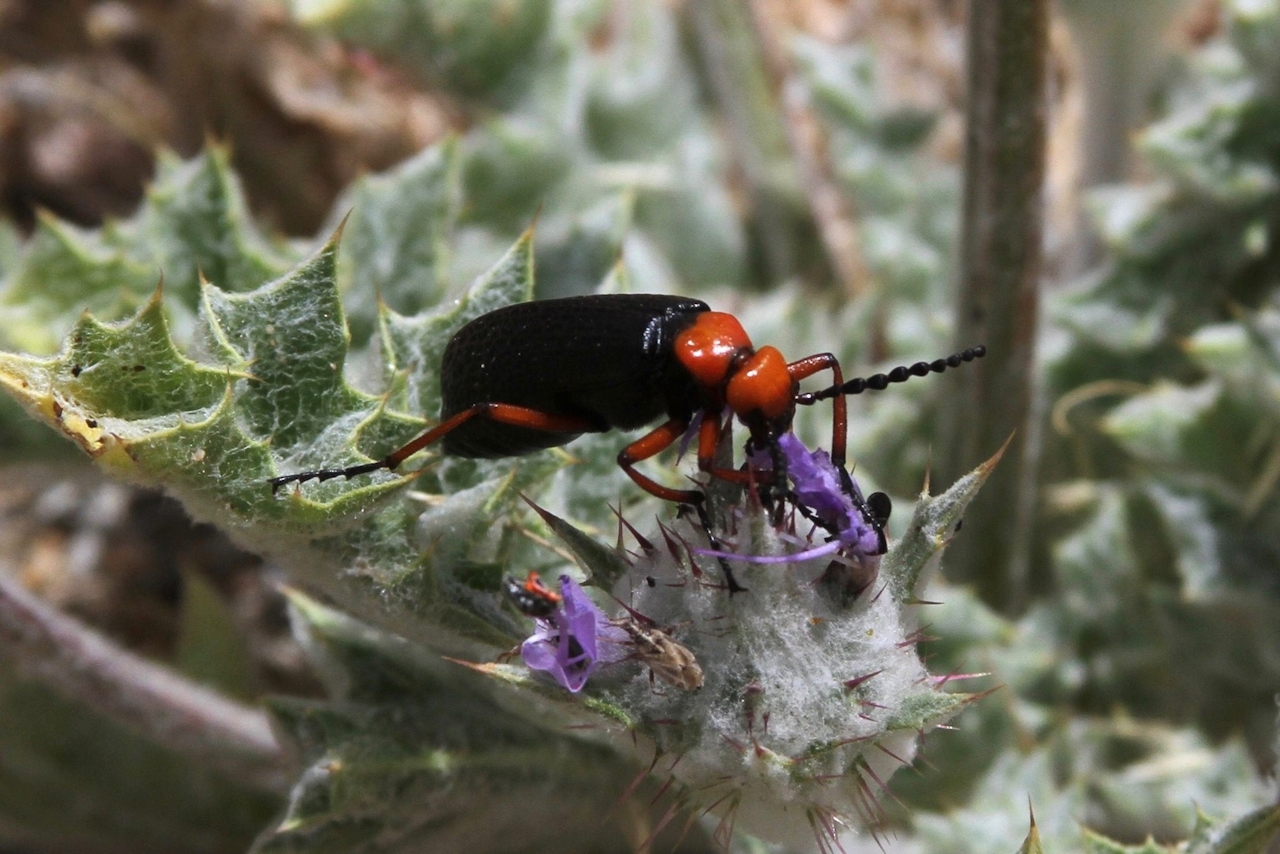
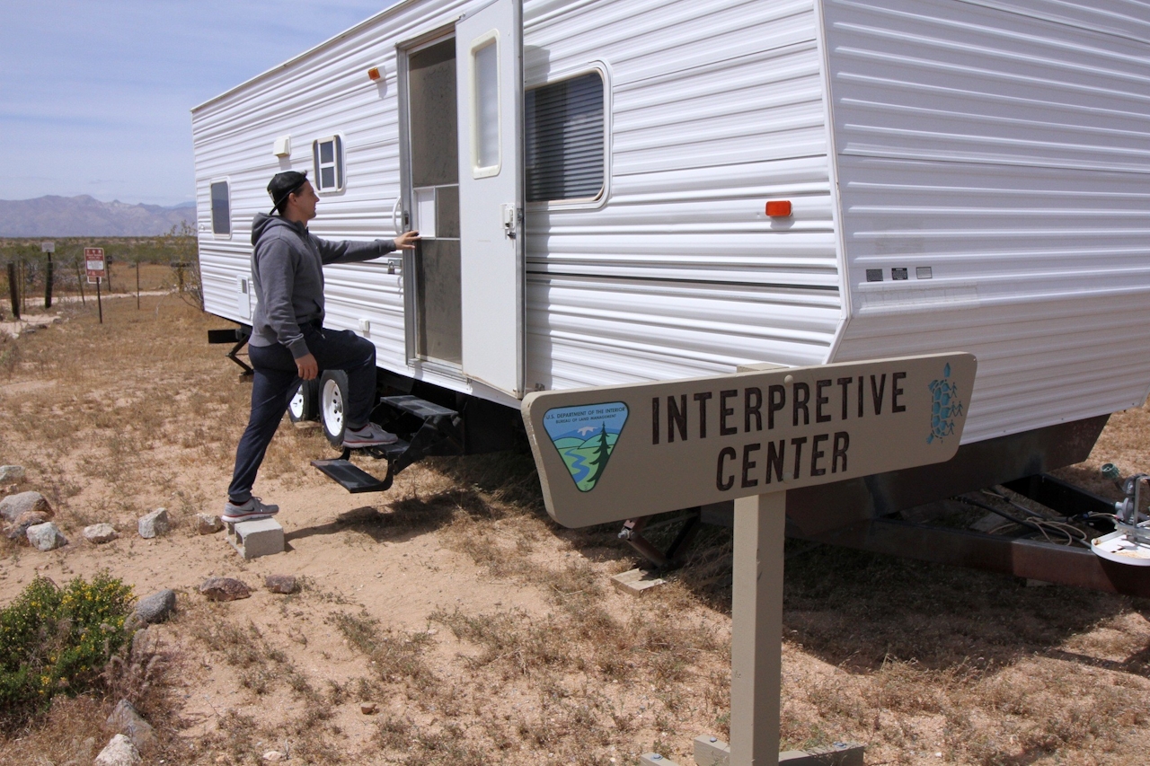
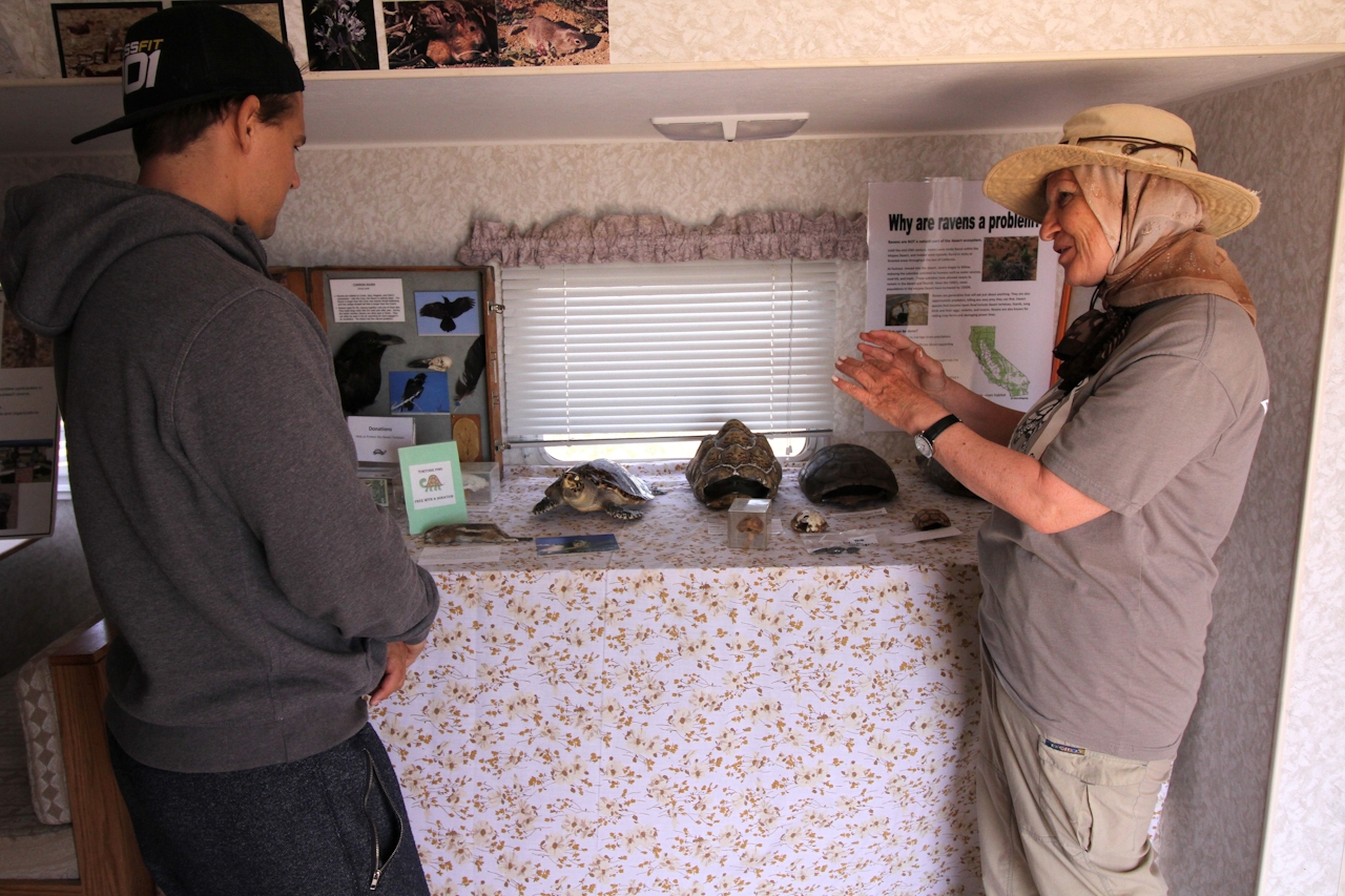
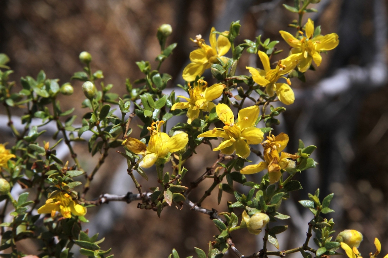
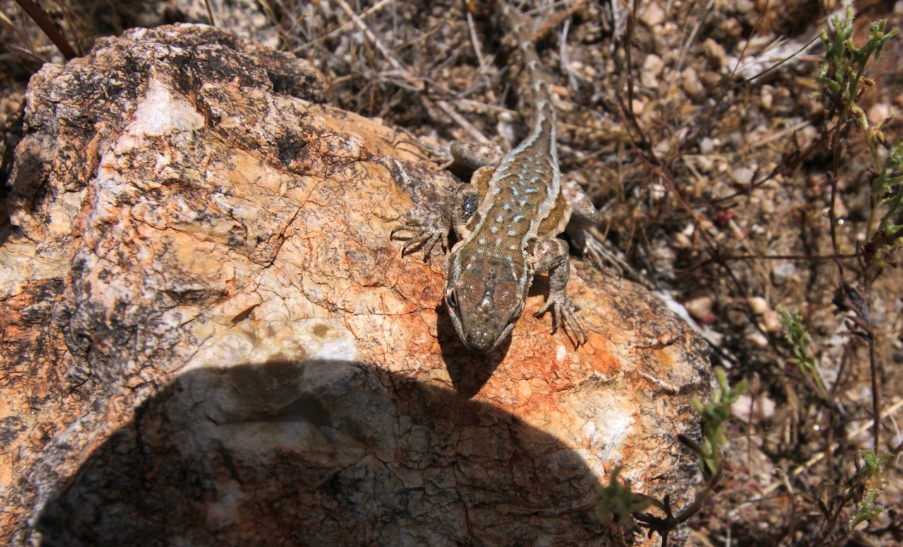
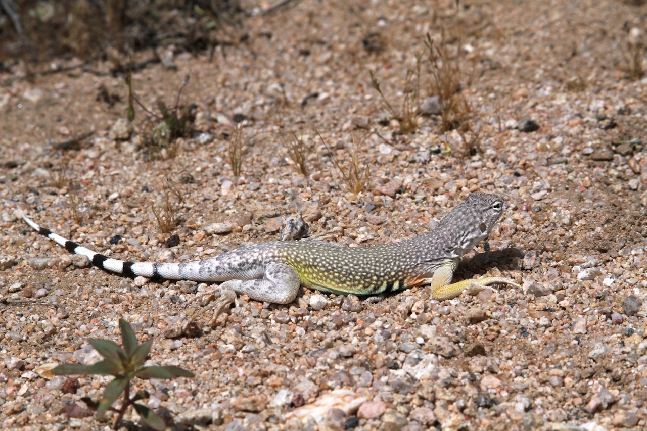
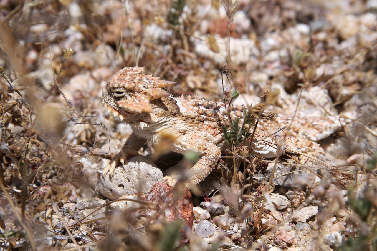
There’s no guarantee that you’ll actually see tortoises, but visit early in the morning for the best chance. Regardless, you’ll learn a lot and enjoy an easy desert stroll. For example, the 0.75-mile Animal Loop offers a great primer on local mammals (including the tiny kit fox) and the tortoise’s various reptilian brethren that call this land home. You’re likely to see an array of colorful lizards, the most peculiar being the well-camouflaged desert horned lizard, aka horny toad.
To reach the Desert Tortoise Research Natural Area, take CA-14 north past the town of Mojave, exit at California City Blvd., and go east for 10 miles. Turn left on Randsburg Mojave Rd. After 1.4 miles, continue straight on 20 Mule Team Pkwy. After 1.7 miles, turn left on 130th St. After 1 mile, turn right on Randsburg Mojave Rd. After 1.7 miles, turn left on 140th St. and follow it into the preserve. The preserve is open daily from 8:00 a.m. to 5:00 p.m. Tortoise photo by Kurt Moses. No dogs.







