Heavenly Hellhole
Hiking Hellhole Canyon Country Preserve in Pauma Valley


Rounding up some friends to go to a hellhole? Maybe it doesn't sound appealing, unless you're talking about Hellhole Canyon County Preserve. Its 1,907 hilly acres are home to a strenuous 4.9-mile trek with 750 feet of gain (and opportunities to extend for those who want to test their leg muscles).
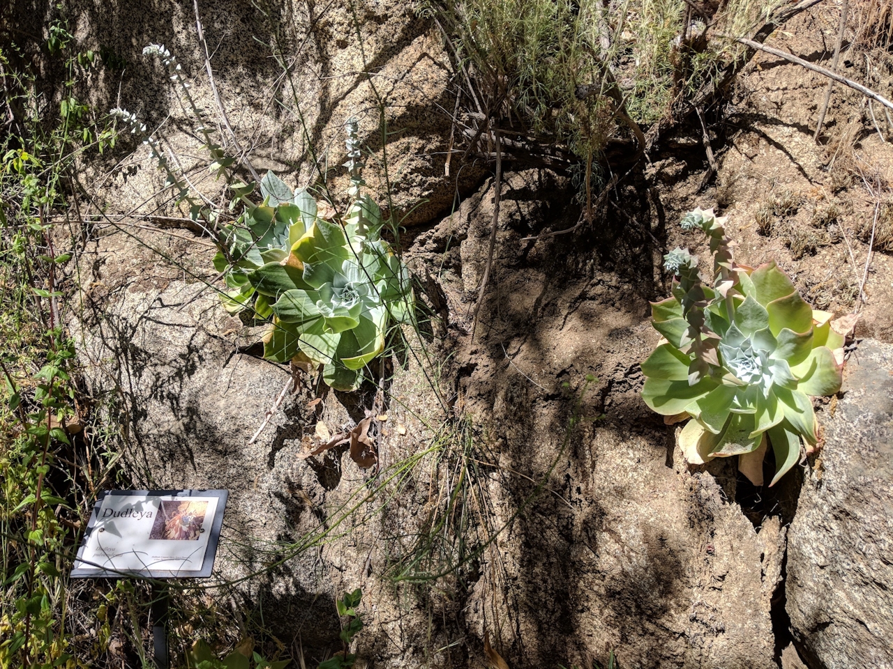
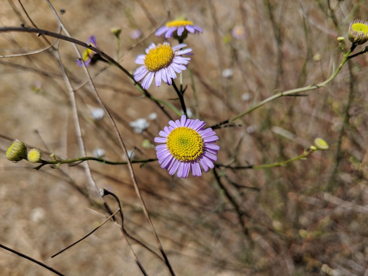
You’ll immediately descend 300 feet into Hellhole Canyon, enjoying fine views as you’re surrounded by a plethora of flora and fauna—from hoaryleaf lilac, black sage, and California blackberry to red-tailed and Harris’s hawks and American kestrels. As you reach the vibrantly green environment surrounding Hell Creek, savor the only shade on this trail, provided by sycamores and oaks. Look for dudleya on the canyon wall to your right, a succulent also known as the live-forever.

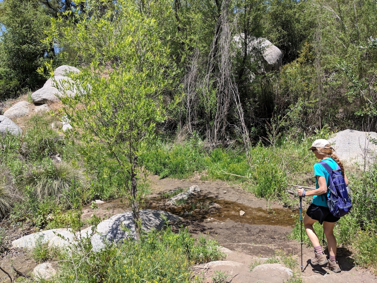
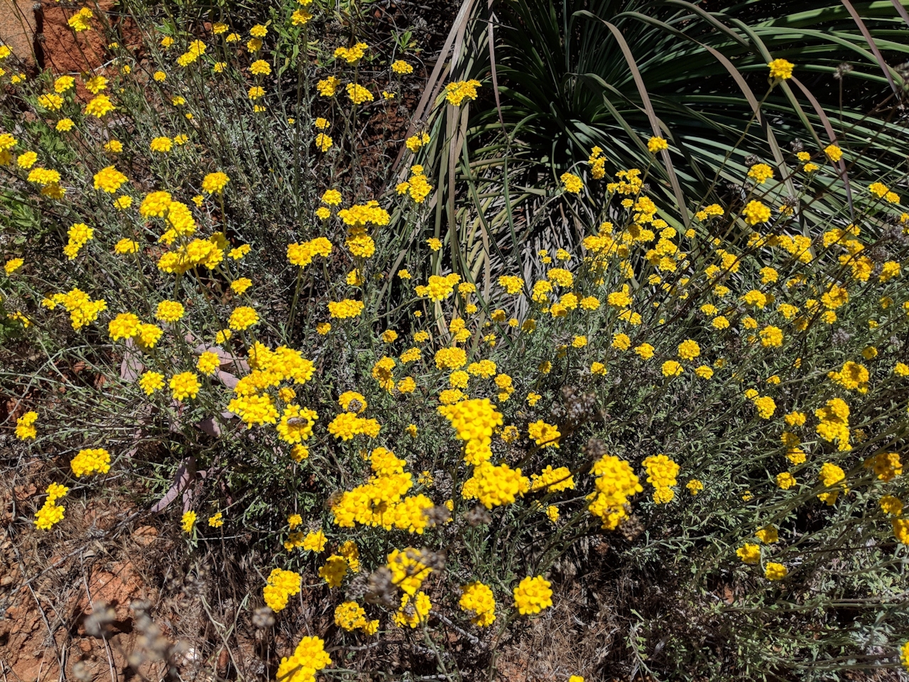
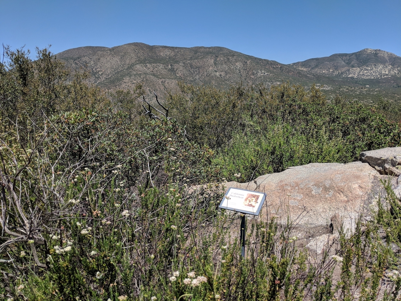
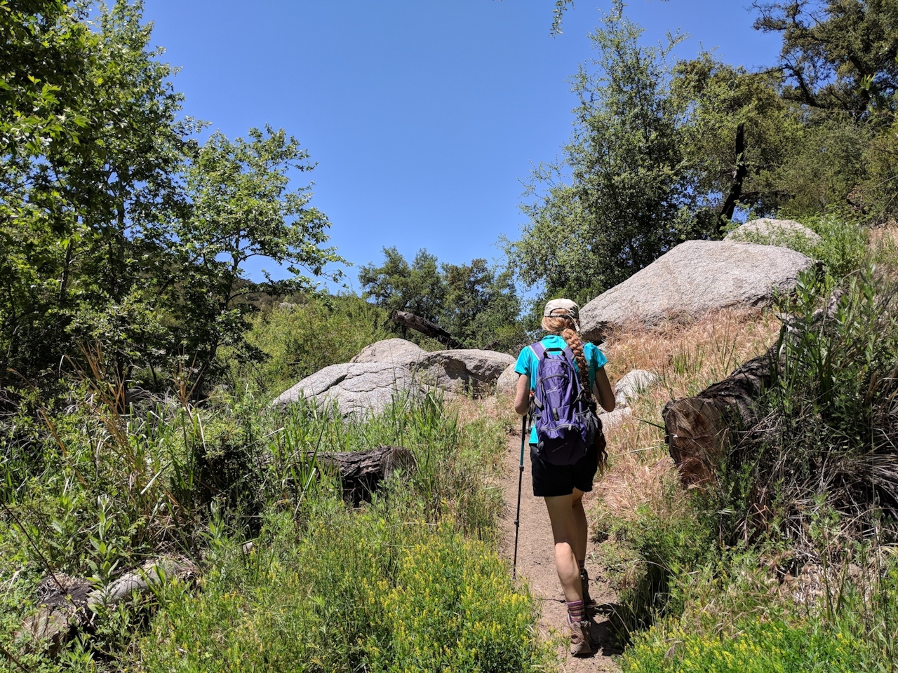
You’ll enjoy canyon vistas for the remainder of the hike. Stay left at the junction for the 1.3-mile Horsethief Trail loop, on which you’ll encounter a vividly orange section of witch’s hair covering chamise against a granite wall. Stay left to continue on Canyon View Trail. At the 2.6-mile mark, you can diverge left for an optional gut-busting ascent to Rodriguez Peak. Head right as the path roller-coasters on a challenging stretch of narrow switchbacks.
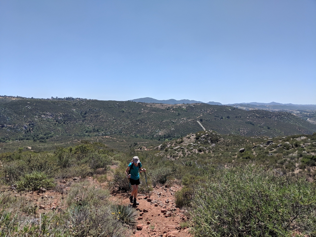
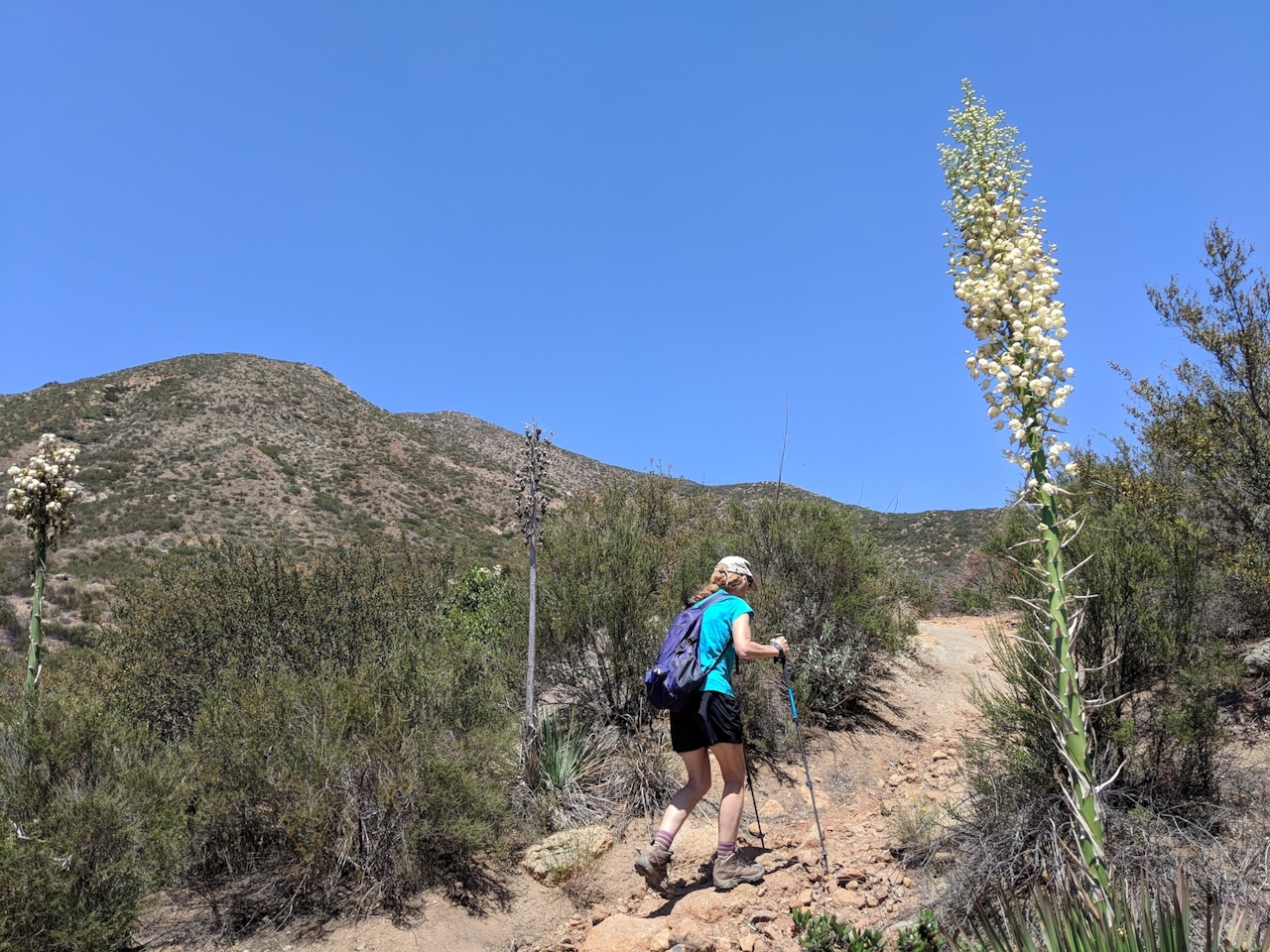
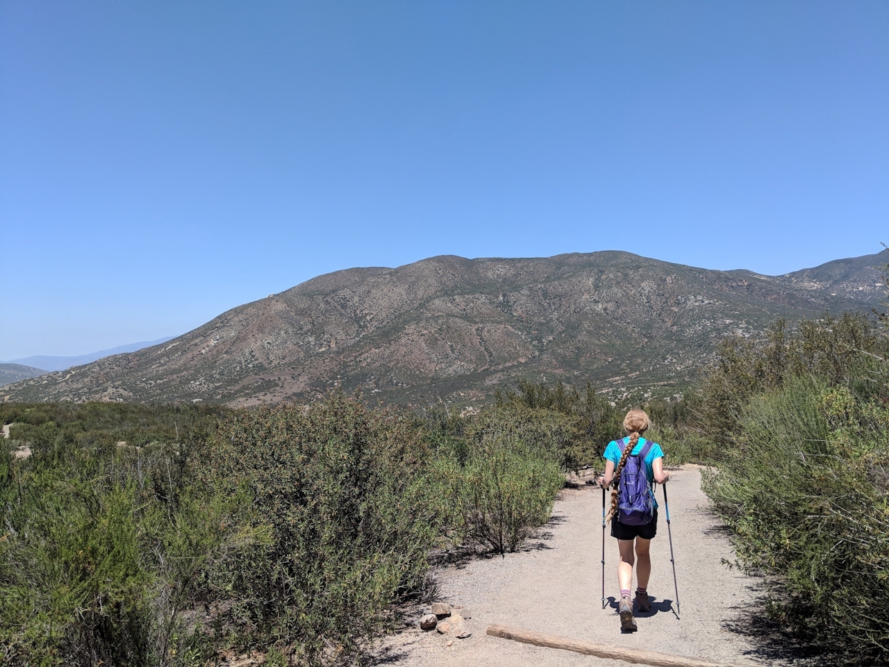
Stay right at the next two junctions until the trail connects with the Horsethief Trail at 3.6 miles. Swing a left to reconnect with the Hell Creek Trail. Look for horned lizards scurrying across the path that leads you back to the start.
Take I-15 to Gopher Canyon Rd. toward Old Castle Rd. and head east for 5.5 miles. Continue onto Lilac Rd. for 3.3 miles and turn right onto Valley Center Rd. After 1.2 miles, turn left onto Woods Valley Rd. Continue onto Paradise Mountain Rd. After 3 miles, turn left onto Kiavo Dr. and after 0.5 mile, follow the signs to the preserve up the hill on your left. Open Friday through Monday, 8 a.m. to sunset. Closed in August. Dog-friendly!







