Life Aquinas

Hiking El Sereno Open Space Preserve

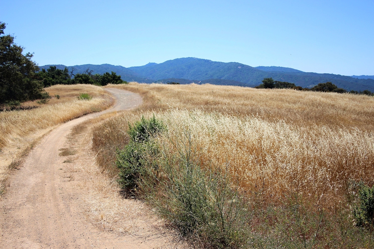
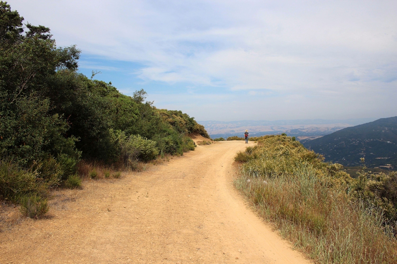
Reach a new height and gain a round-the-compass panorama at El Sereno Open Space Preserve. Just off Highway 17 in the Santa Cruz Mountains near Los Gatos, the preserve’s 7.5-mile (round-trip) out-and-back Aquinas Trail offers a sky-scraping, sun-soaked ridge with striking panoramas of the Lexington Reservoir, the South Bay, and neighboring open space preserves St. Joseph’s Hill and Sierra Azul.

Start at the Montevina Ridge Trail and hike in for 0.2 mile to the Aquinas Trail—the star of the show. It’s a dirt fire road that climbs at a fairly easy uphill grade before making a descent.
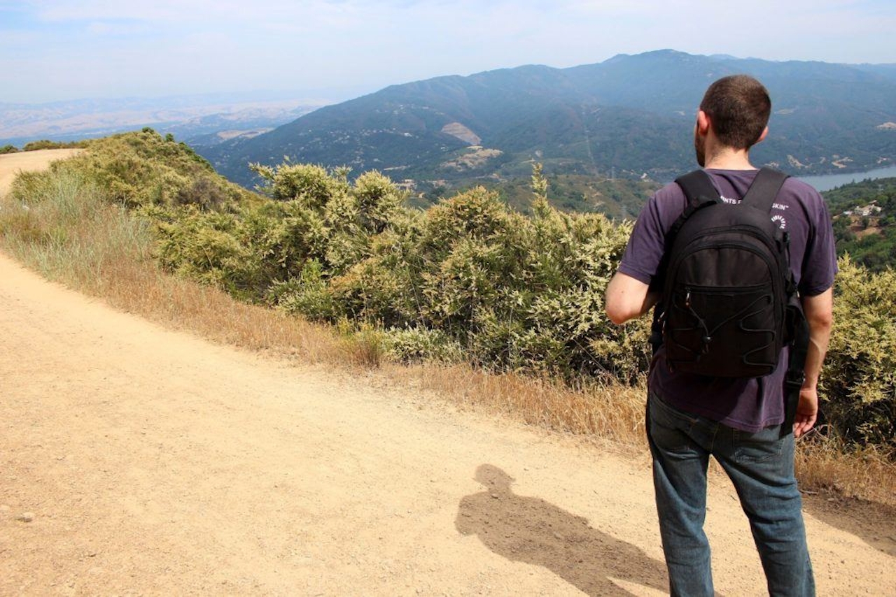
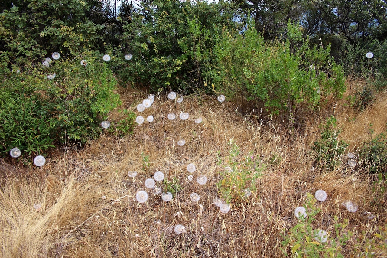
Coyote brush and chamise are dominant throughout El Sereno, but madrones offer welcome intermittent cover. Dried bay leaves carpeting the trail emit an inviting fragrance with every step.
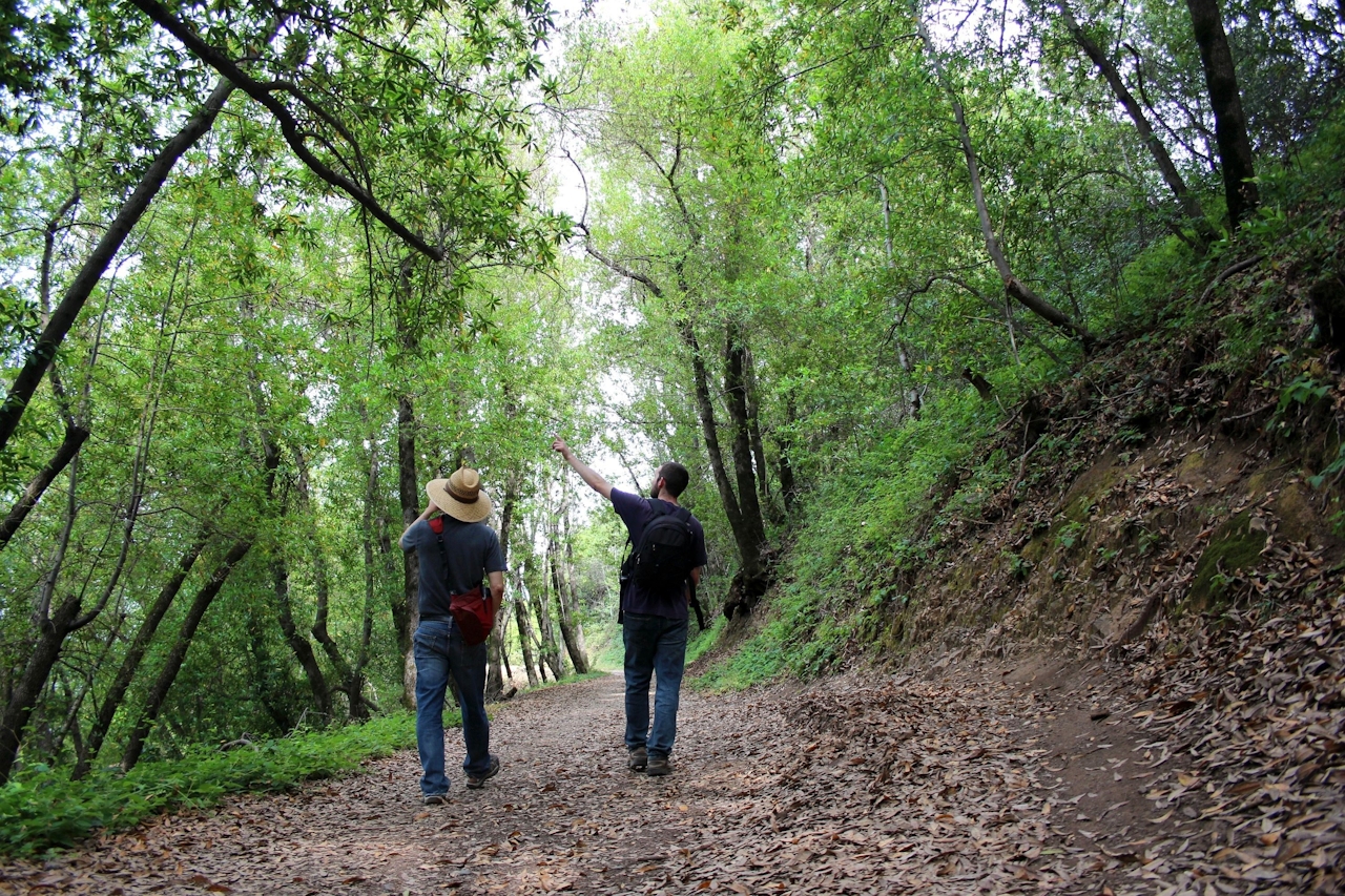
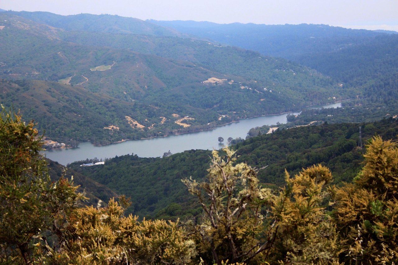
You’ll see junctions for a couple of shorter trails, the Loma Vista Trail and the Serenity Trail, but be sure to continue straight to stay on Aquinas. Eventually, your descent brings you to a flat clearing, and your turnaround point. Stop for a snack break before climbing back uphill for the return trip.

TIP: You can also mountain bike this trail.

Access to the southern part of El Sereno Open Space Preserve is from the end of Montevina Rd., 3 miles west of Hwy. 17. Take the Bear Creek Rd./Montevina Rd. exit off Hwy. 17, and follow Montevina Rd. until it ends. There is limited parking for 3 to 4 cars at the roadside turnout. Avoid hiking this trail in mid-day during extreme heat. It’s exposed. Dog-friendly!

Trending Stories NorCal

View all Stories
  1. Sponsored

    Chasing Dark Skies: Southern Oregon

    Hot springs, hiking, lodging, antelope, and one of the world’s best places for looking up at night.

    View
  2. Woman with her arms outstretched to the rolling hills scenery while on a rock outcrop at Barnabe Peak in Samuel P Taylor Sate Park in Marin

    Barnabe Bonanza

    Sure, there are higher mountains in Marin (Mount Tam) and easier ascents (Mount Burdell), but is there a more expansive North Bay view? Barnabe Peak in Samuel P. Taylor State Park offers a glorious panorama including Mount Tam, Mount Diablo, and Mount St. Helena.

    View
  3. Tamtastic Sunset

    Sure, the East Peak of Mount Tam is absolutely spectacular at sunset, but some magic-hour enthusiasts head to a nearby spot, Trojan Point, for a little more personal space in their panoramic viewings.

    View

Trending Stories SoCal

View all Stories
  1. Lagoon Swoon

    We all love an underdog story, especially in the shadow of the greats. Enter a truly SoCal coastal version: Malibu Lagoon State Beach. Though situated next to Surfrider Beach, a fa

    View
  2. Woman hiking the San Onofre Bluffs Loop Trail to San Onofre State Beach in San Diego County

    Bluffing Good!

    Lovely coastline, beautiful beaches, unique geological history, and picturesque sandstone cliffs with limited foot traffic in San Diego County? Head to San Onofre State Beach and the 5-mile San Onofre Bluffs Loop Trail.

    View
  3. Tahoe's Trio of Lake Vistas

    They say good things come in threes, and it’s true when you embark on this 8-mile (round-trip) hike in Tahoe’s Desolation Wilderness. It gives you three excellent lake vistas: Eagl

    View