Pines and Panoramas
Hike to Views Over Santa Ana River Valley
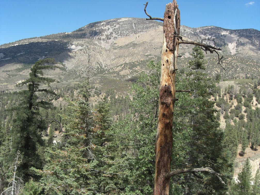
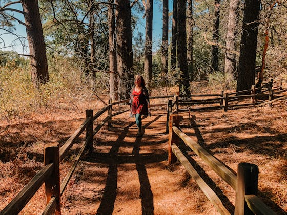
Ponderosa pines sighing with mountain breezes set the stage for this 3-mile out-and-back hike that serves up outstanding views of the Santa Ana River Valley. Start at Barton Flats Visitor Center’s east entrance, following the Rio Monte Panorama sign. A squiggly trail parallels Highway 38 to the split with the Jenks Lake Trail. Cross the road to the Council Group Camp and pick up the trail heading east. The wide gravel path passes through Barton Flats, San Gorgonio, and Oso/Lobo Campgrounds on a flat to gently rising grade, with old interpretive signs acting as trail markers. Ponderosa pines feature prominently, their bark like the honeycomb pattern of sun-scorched earth. The flat, open areas here were grazing and homestead land to early settlers, and are frequented today by black bears, mountain lions, deer, and other critters. At the Oso/Lobo Campground, follow the trail to the Greyback Amphitheater, the stage for the San Gorgonio Wilderness Association's annual Ranger Talk lecture series, a fun way to learn about the forest and surrounding wilderness. (Smokey Bear makes regular appearances.) From the back of the amphitheater, hike to the overlook for a 180-degree view of the massive valley carved by the Santa Ana River. Dominating the scene is 9,952-foot Sugarloaf Mountain, with a lovely foreground of green forest sloping to the Santa Ana. Go ahead, put your feet up and linger.
This hike is 3 miles round-trip. From the Mill Creek Ranger Station at Bryant St. and CA-38 in Yucaipa, follow CA-38 for 18 miles to the Barton Flats Visitor Center. Park in the east lot (gate closes at 4:30 p.m.) and look for the Rio Monte trail sign near the road. Parking is available after hours along the highway. Dog-friendly!
Bring the Outdoors to Your Inbox
Sign up for our weekly email and stay up to date on where to explore in California.
* No spam, that's a funky food!