Up and Umunhum
Hike to the Summit of Mount Umunhum


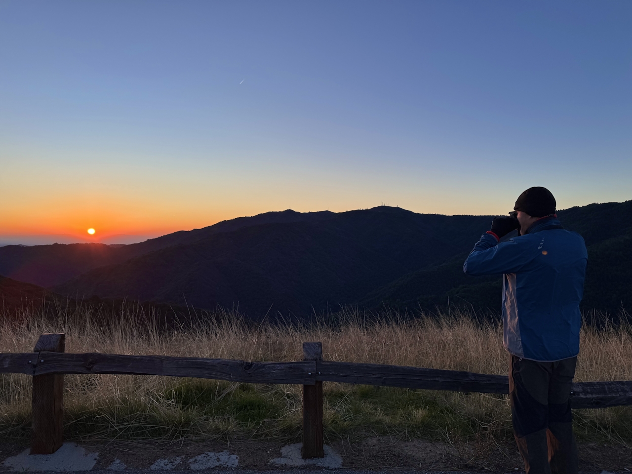
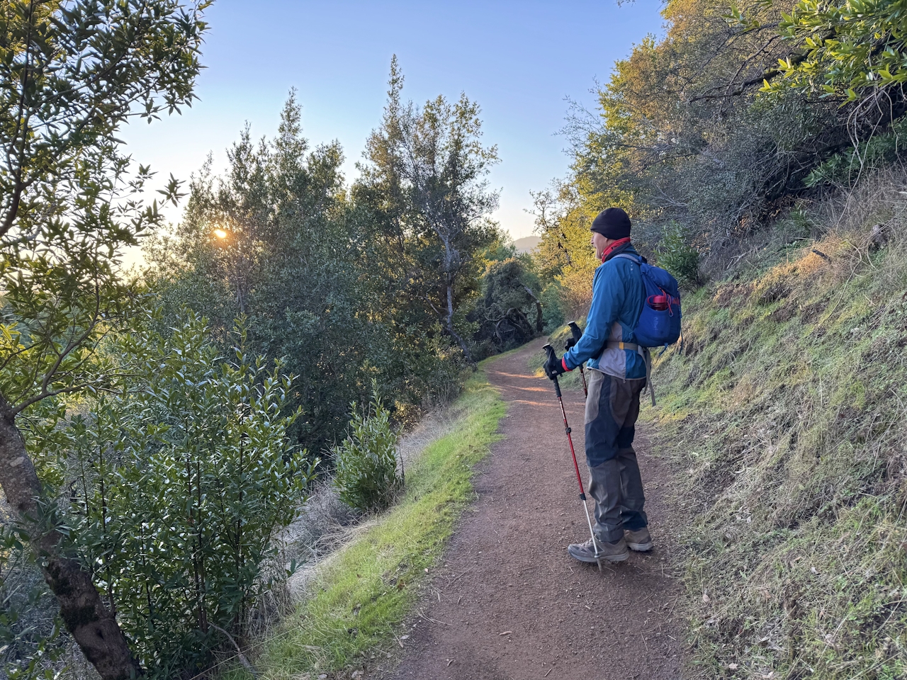
Early risers can experience one of the Bay Area’s best morning glory hikes on this 7.4-mile out-and-back up beautiful Mount Umunhum. In early spring if you arrive at the parking area right before sunrise, you’ll get a beautiful eastern view of the sun coming up between Bald Mountain and the nearby Santa Cruz Mountains. On days when fog settles into the valley, the colorful view is nothing short of magical.
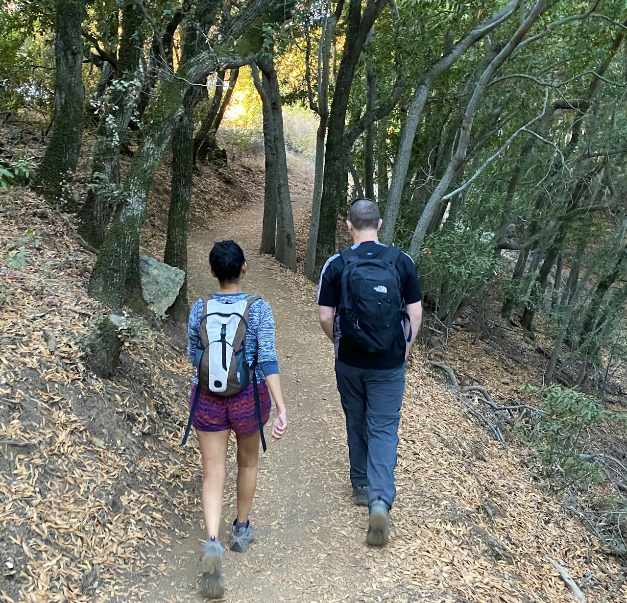
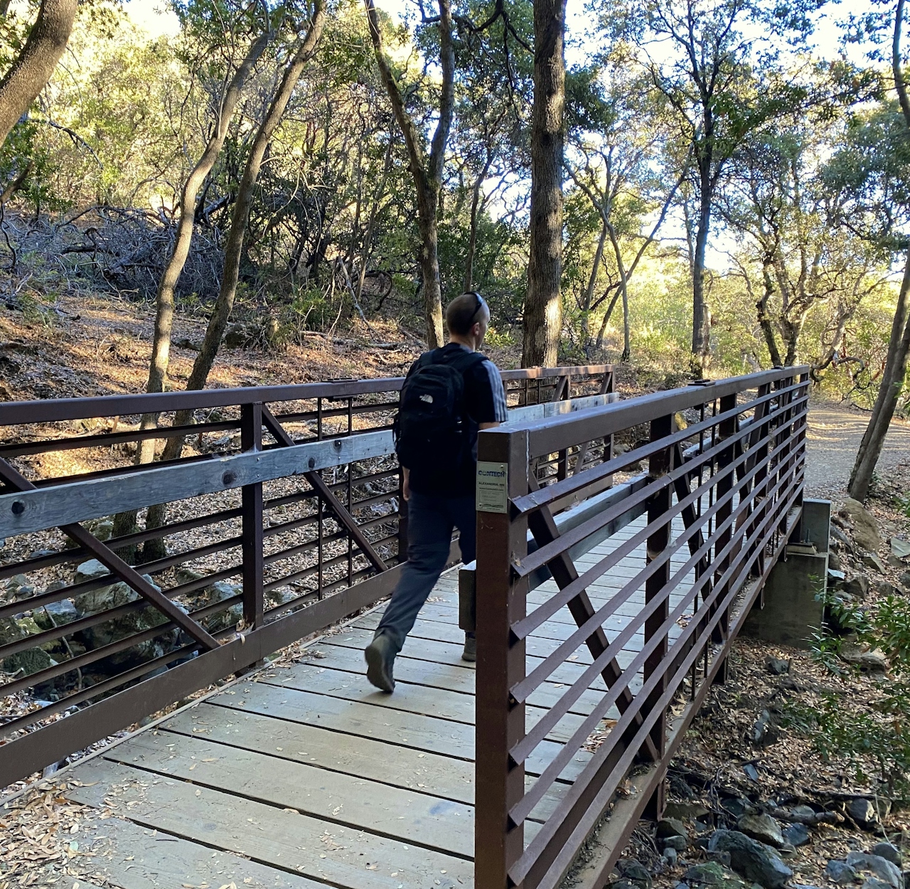
To start hiking, cross the street from the parking area and follow the signs for the Bay Area Ridge Trail. Red and orange-hued manzanita and madrone line the route, and bright red toyon berries add a splash of color to the shady forest.
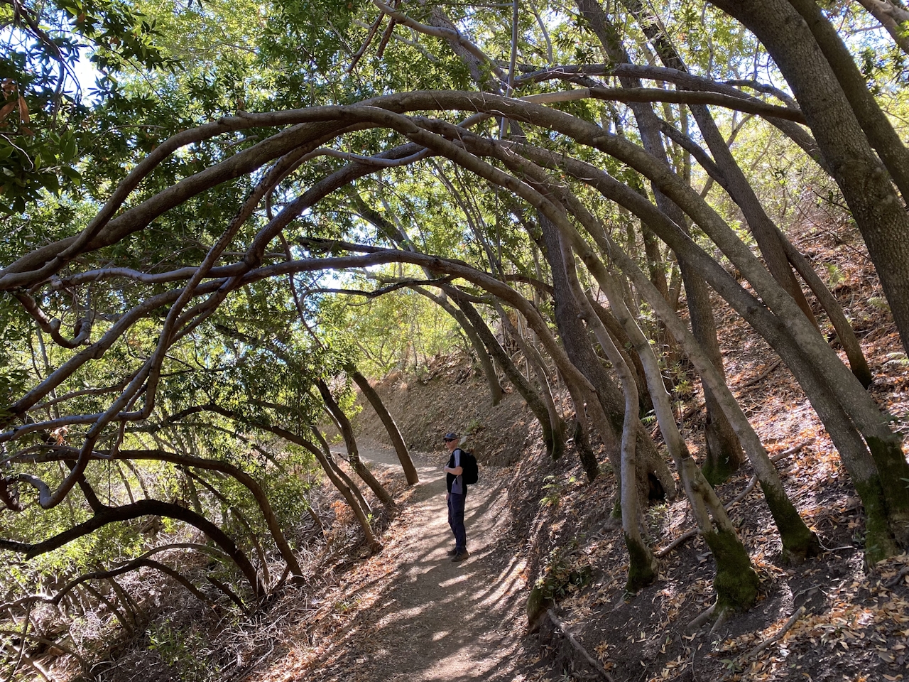
As the trees give way to open sky, a fork in the path gives hikers the option to head left to the parking lot, or straight to the summit. If you need a bathroom break, head to the lot before continuing to the peak.
The final push to the top is on slightly steep, rocky terrain. At the top, take in that view! Standing at an impressive 3,486 feet, Umunhum offers a gorgeous panorama in all directions, from the Pacific Ocean all the way to the Sierra.
Visitors can also get an up-close view of “The Cube,” a massive radar tower that’s an iconic landmark on the Silicon Valley skyline.
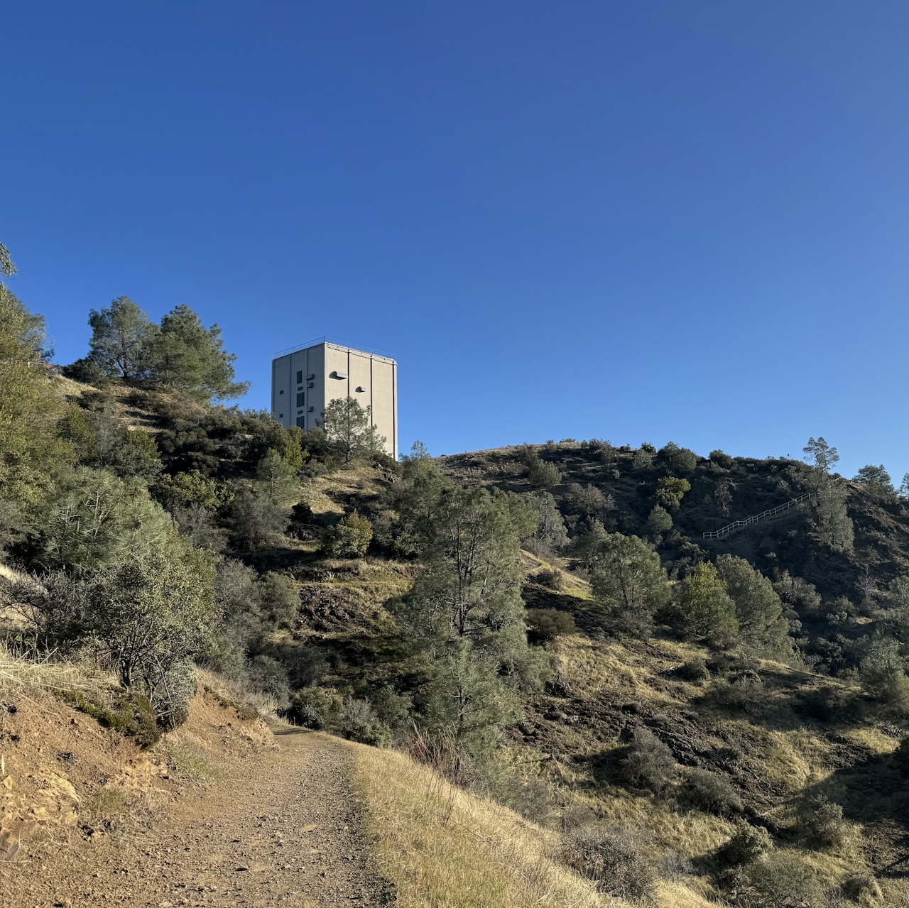
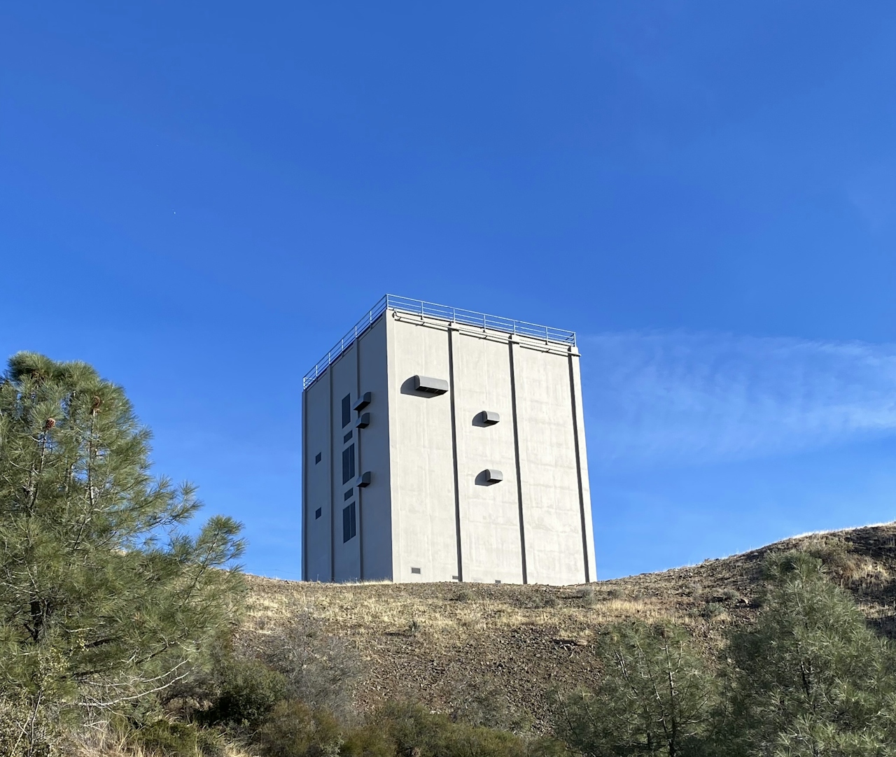
The final stop is the Ceremonial Circle, a reminder of the mountain’s history as a sacred place for local Native American tribes, and a site for ceremony, prayer, and education.
After soaking up the sights, retrace the route back down to the parking lot.
The Bald Mountain parking lot is located on Mt. Umunhum Road in San Jose (map). The gate to the park opens at 7 a.m. and closes a half hour after sunset. No dogs.
Story and photos by Heather Werner, @heath.er.wer.ner







