Josephine Journey
Hike to the lookout at Josephine Peak in the San Gabriels

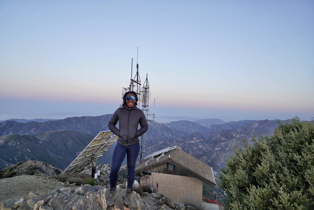
Standing at 5,558 feet on the western edge of the San Gabriel Mountains, Josephine Peak is not your ordinary summit hike. The 8.5-mile (round-trip) out-and-back climb from the Colby Canyon parking lot gains 2,058 feet to a former fire lookout with tremendous views of the San Gabriels, including Strawberry Peak.


The first half mile passes multiple small pools of water and streams that are good for cool-downs, though the exposed nature of this hike means getting to it before it’s too hot, and bringing the proper necessities like water, sunscreen, and a hat. The trail steadily climbs, passing over rocky terrain with smooth switchbacks. Along the way you can see the peak you’re heading to, as well as downtown Los Angeles.

Make your way up to Josephine Saddle, which brings the trail to a fire road for the final push! From the top, you can see several nearby peaks in the range including Strawberry Peak—the tallest mountain in the San Gabriels—as well as Angeles Crest Highway snaking around the mountains.
The peak is quite eclectic. Remnants of a fire lookout that stood from 1936 to 1975 were sadly destroyed by a fire, but there’s still a bookshelf, a concrete foundation, and communication towers.
Turn right onto CA-2 E/Angeles Crest Hwy. and follow it for 10 miles. The parking is a dirt lot on the left-hand side. Dog-friendly!
Story and photos by Breonna Carter, @mountainsquake.


