Ohlone Time
Hike to Murietta Falls in Ohlone Wilderness Regional Preserve

With days about to get longer, keep this epic East Bay hike on your radar for wildflowers and a waterfall that only comes to life after rain. Murietta Falls is an elusive beauty: now you see it, soon you won’t. The journey to it is a rewarding part of the experience—filled with wide-open space, beautiful views, and new blooms that should start soon. For experienced hikers looking to get remote, this 13-miler (round-trip) deep in the Ohlone Wilderness Regional Preserve is it. Bring plenty of water and snacks. You’ll pack over 4,000 feet of elevation gain, including four climbs.


Start at Lake Del Valle. The trailhead begins just past the West Shore’s parking lot on Sailor Camp Trail, which rises quickly from the lakeshore. After about a mile, you’ll reach the Ohlone Trail Sign-in Panel. Make sure to stop here and sign your name for safety reasons before continuing onto the Ohlone Trail. After another mile and an additional 700 feet of gain, you’ll reach Boyd Camp (which does have a bathroom). Continue along the Ohlone Trail until you reach the “Restricted Access” sign. At this point, you’ll begin your first descent on the singletrack Ohlone Regional Wilderness Trail.

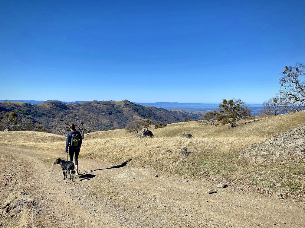
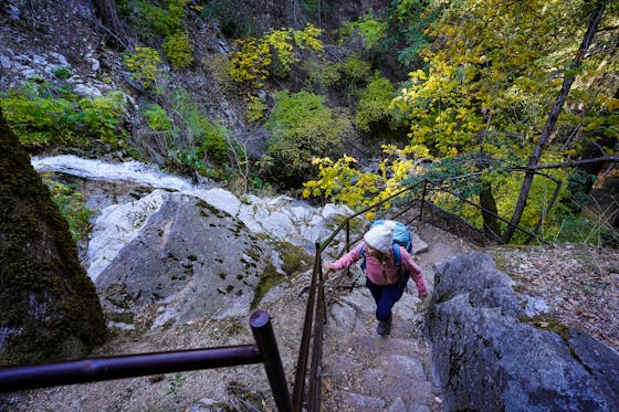
As you descend, you’ll transition from open oak savannah with stellar views of the surrounding hills, to dense woodlands. As you approach William’s Gulch, keep an ear out for the stream, which is dotted with sturdy rocks for crossing. Immediately following the crossing, your second climb begins. As you reach the top of the climb, be on the lookout for Johnny’s Pond, located on the right of the trail. Follow the trail to the right, and then take your next left as you descend to the top of the waterfall.

Your efforts will be rewarded if you see a strong current crossing the path at the bottom of the descent, which is also the top of the waterfall. As the main path curves to the left with a steep ascent, hop off the main trail and continue along the rocky outcroppings to reach an overlook of the 100-foot waterfall. A small footpath offers a way to the base of the waterfall to really take in the view. Take some time to relax and enjoy the views and the sound of the falls before returning the same way you entered.

This hike is difficult in both distance and elevation due to four substantial climbing sections of over 500 vertical feet. Parking at Lake Del Valle is currently limited due to the western shore being closed. A small parking lot with approximately 30 spaces is available immediately after the bridge. We recommend an early start to avoid parking issues. No water is available on this hike so bring ample for the trek (2+ liters per person). Restrooms are only available at Boyd Camp about 2.5 miles and 1,500 feet of gain from the start. The waterfall is best after a recent rain. Parking fees are $6 per car and $2 per dog. Map. Dog-friendly!


