Misty on Mount Tam
Hike the Steep Ravine and Dipsea Trail Loop on Mount Tam

Mount Tam’s 3.9-mile (round-trip) Dipsea Trail Loop weathers the wets and wilds with some confidence, sheltered in parts by redwoods, and wowing with a waterfall. Starting at Mount Tam’s Pantoll Ranger Station, immediately descend into Steep Ravine where a redwood forest offers shelter from precipitation. The trail parallels swiftly flowing Webb Creek.

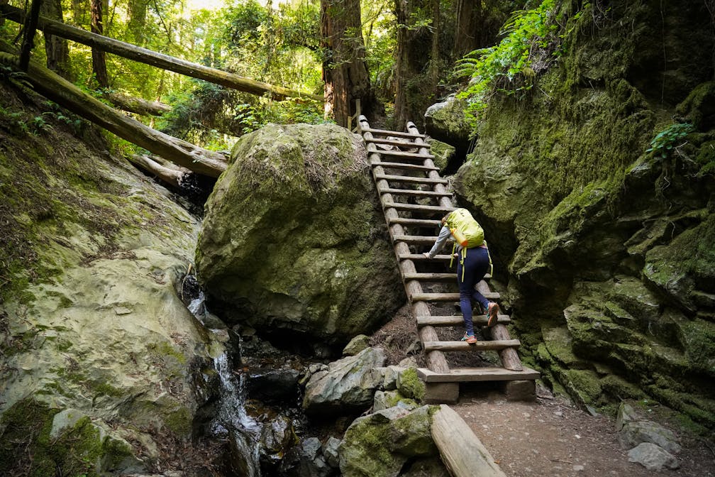
After a mile, you’ll reach the famous wooden ladder: take your time, there’s no rush worth a slip! Once you’re down follow the trail as the creek rushes and tumbles into an impressive waterfall. Crisscross the water via a series of wooden bridges, watch your step passing over large stones, and enjoy the lush green vegetation and ferns festooning the path. Make a left onto the Dipsea Trail and begin ascending out of the canyon.

After a few minutes of heart-pumping climbing, emerge from the canyon onto an expansive open meadow (On clear days there are spectacular views of the Pacific, Marin Headlands and San Francisco.) Turn left onto the Coastal Fire Road and make an immediate right onto the Old Mine Trail leading back to the parking lot.
Check road and trail conditions before going after recent rain. Parts of this trail can be slick and slippery, so wear good shoes and avoid days that are ceaseless downpours. Begin the loop at the Pantoll Ranger Station parking lot off Panoramic Hwy. (map), where you can also pick up a trail map. It’s $8 to park. Start on the Steep Ravine Trail. After 1.7 miles, turn left on the Dipsea Trail. In 1.6 miles, turn left on the Coastal Fire Road, then a quick right onto the Old Mine Trail, which takes you back to the trailhead. No dogs.


