Give Me El Moro
Hike the backcountry to coastal views at Crystal Cove State Park in Orange County

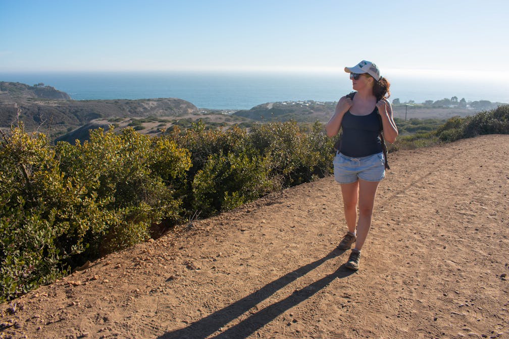
Most people come to Crystal Cove State Park for the beach, but its 2,400 acres of backcountry has a distinctly Californian beauty that rivals the coast. Spoiler alert: The backcountry trails all lead to the coast—ensuring you get your sea-nery. The hike that offers the most bang for your buck?


Do a 2.85-mile moderate loop that climbs 633 feet in elevation from the ranger station, up along the rocky cliffs, and then back down through El Moro Canyon to the beach. This loop has the shortest mileage for getting the best combo of panoramic coastal views and the El Moro Canyon backcountry. Start your hike on the No Dogs Trail (sorry, furry pals) at the far east end of the parking lot. All 633 feet of elevation gain are packed into this 0.6-mile stretch, so you’ll definitely feel it, but the views are some of the best in the entire backcountry, so take your time and enjoy it (keep your eyes open for rabbits and rattlesnakes in the shrubs!). From there, the trail forks to the right onto the aptly named Poles Trail, which follows the path of the telephone lines crossing through the park.


This 0.4-mile stretch is steep and entirely downhill. Poles Trail ends at the intersection with the 1-mile Moro Canyon Trail, and then you’ll make a right onto that trail to head back toward the coast. All hikes in the park eventually lead to the day-use parking area, which is 0.4-mile from the ranger station. So here you can detour to the beach on a trail paralleling the lot and leading to a tunnel for beach access. Enjoy the sand and sea glory! Then retrace your steps back to the junction at the east end of the parking lot and pick up the trail where you left off for the final 0.4-mile uphill stretch back to the ranger station.

TIP: From the ranger station there are multiple ways to build your ideal hike. There’s even a color-coded map next to the entrance that rates the loop combos from easy to strenuous. Options range from an easy 3-miler that is mostly flat, to a strenuous trail 9 miles in the making, with nearly 2,000 feet of elevation gain. No matter which trail combo you choose, all end up at the day-use parking area 0.4-mile from the ranger station.
Crystal Cove State Park is located at 8471 N. Coast Hwy. in Laguna Beach, at the intersection of School-State Park and PCH. Park is open from 6 a.m. to sunset. Fee or State Parks Pass required to park within the park boundaries; pay at kiosk at the entrance to the ranger station or inside the ranger station. No dogs allowed on the backcountry trails or on the beach.
Story and photos by Natalie Bates, @wanderwithnatalie.


