Sibley Sensations

Hike Sibley Volcanic Regional Preserve

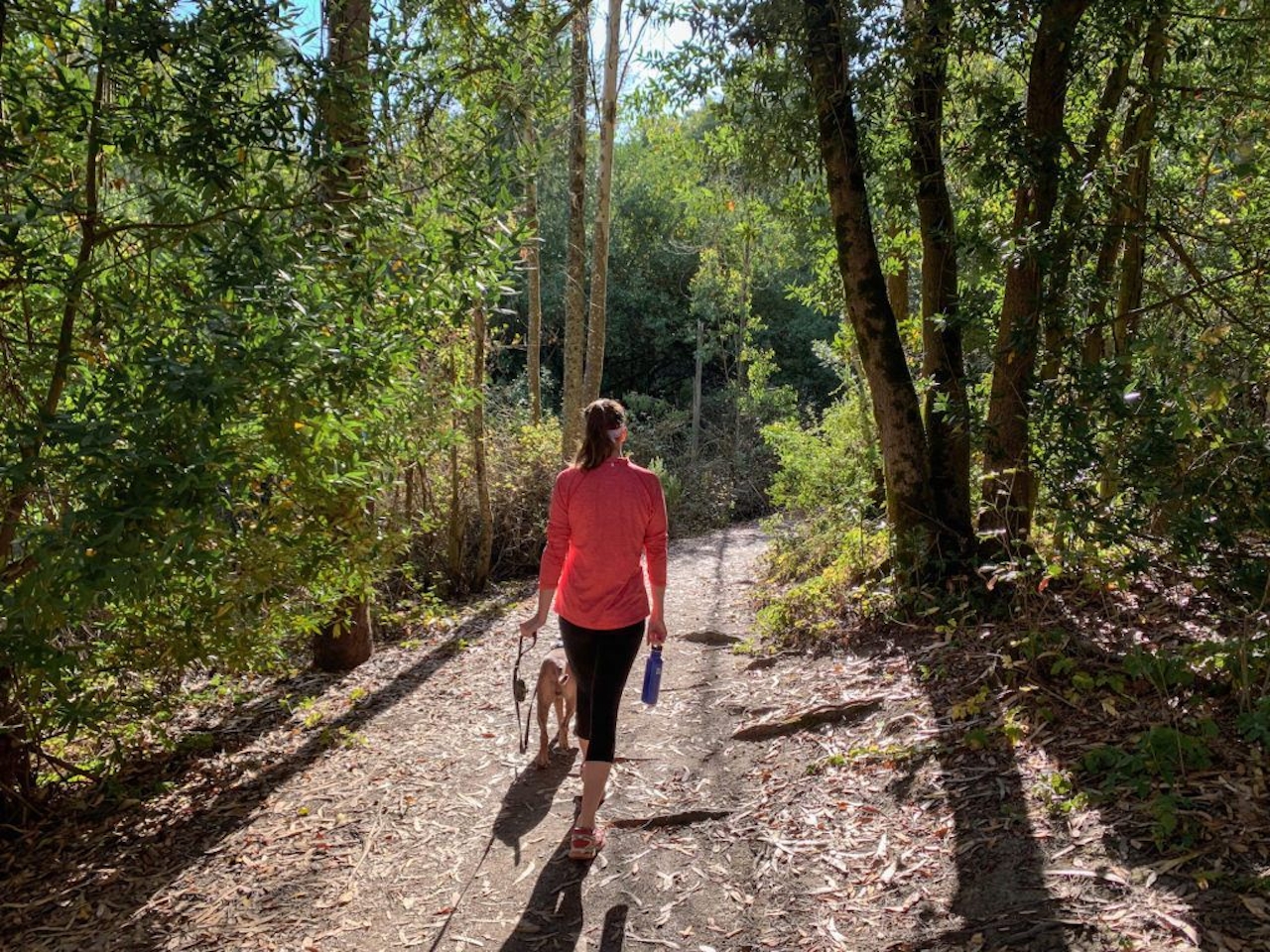
Here’s a perfect fall hike that could easily become a new tradition. Make your way to Sibley Volcanic Regional Preserve in the Oakland Hills for a 3.5-mile (round-trip) hike alongside the East Bay’s 10-million-year-old volcano.

Start on the Bay Area Ridge Trail (it’s the only dirt trail behind the parking lot). Quickly descend into a valley blanketed by deciduous trees and undergrowth.

Hike Sibley Volcanic Regional Preserve

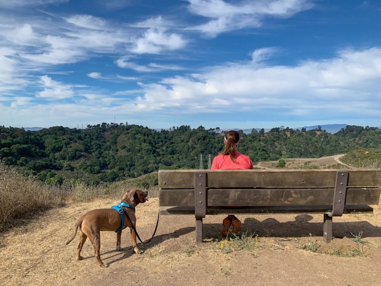
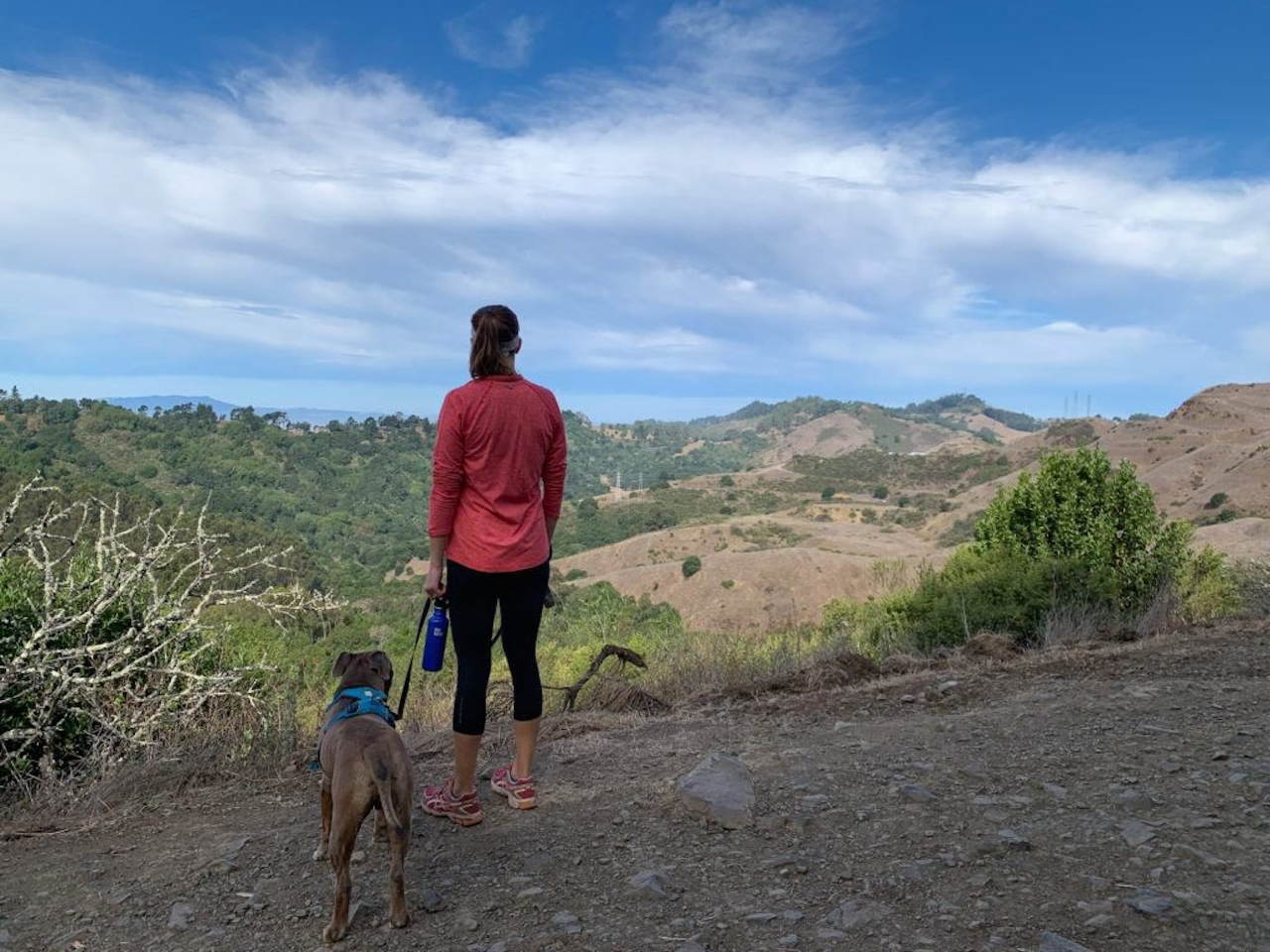
At the end of the trail, follow the pedestrian-only section of Old Tunnel Road, ascending a nearby peak. As you climb, pivot to enjoy views of the valley: Fall colors are in good form this time of year.Approaching the end of the road, be sure to take a right to avoid the fenced-off landslide section, and continue onto the Volcanic Trail and take a seat on one of the benches to let the scenery soak in. On clear days you’ll see the Marin Headlands overtop the nearby Oakland Hills.
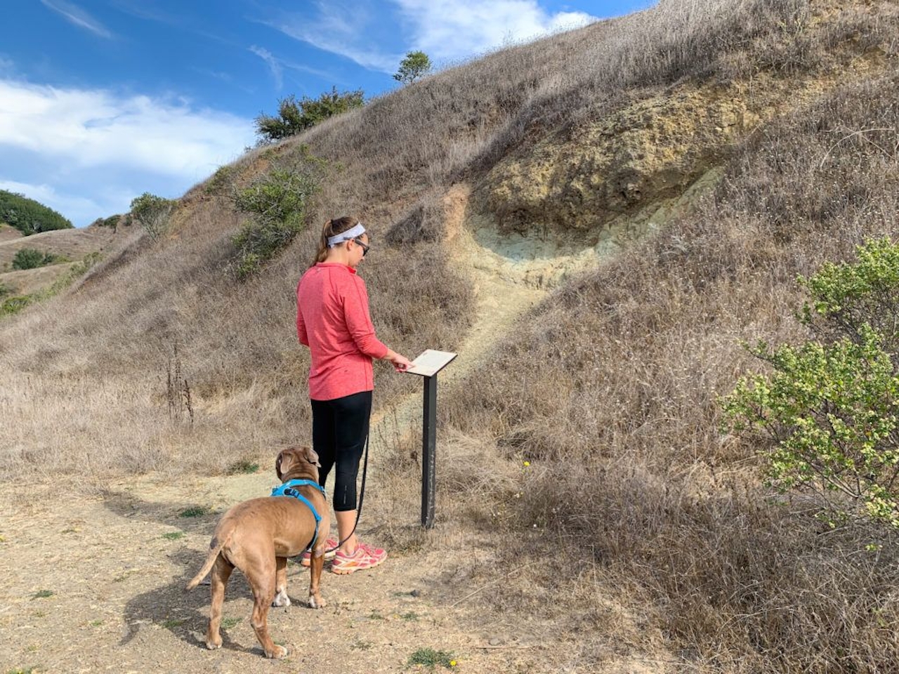
Continuing on, be sure to take a moment to read the information on the markers, each describing a piece of the area’s geologic history. Keep to the right on the Volcanic Trail as you enter the section of trail bordered by chaparral. Be sure to take a good look around because—you’re hiking on a dormant volcano! Known as Round Top, the volcano is one of the East Bay’s highest peaks, formed by massive tectonic forces on the Hayward and Moraga faults that uplifted the Berkeley Hills.
Hike Sibley Volcanic Regional Preserve

Stay on this trail until the finish.

The hike begins at the Sibley Volcanic Regional Preserve’s parking lot off Skyline Blvd. Water and bathrooms are available at the parking lot. Dog-friendly!

__

Trending Stories NorCal

View all Stories
  1. Sponsored

    Chasing Dark Skies: Southern Oregon

    Hot springs, hiking, lodging, antelope, and one of the world’s best places for looking up at night.

    View
  2. Woman with her arms outstretched to the rolling hills scenery while on a rock outcrop at Barnabe Peak in Samuel P Taylor Sate Park in Marin

    Barnabe Bonanza

    Sure, there are higher mountains in Marin (Mount Tam) and easier ascents (Mount Burdell), but is there a more expansive North Bay view? Barnabe Peak in Samuel P. Taylor State Park offers a glorious panorama including Mount Tam, Mount Diablo, and Mount St. Helena.

    View
  3. Tamtastic Sunset

    Sure, the East Peak of Mount Tam is absolutely spectacular at sunset, but some magic-hour enthusiasts head to a nearby spot, Trojan Point, for a little more personal space in their panoramic viewings.

    View

Trending Stories SoCal

View all Stories
  1. Lagoon Swoon

    We all love an underdog story, especially in the shadow of the greats. Enter a truly SoCal coastal version: Malibu Lagoon State Beach. Though situated next to Surfrider Beach, a fa

    View
  2. Woman hiking the San Onofre Bluffs Loop Trail to San Onofre State Beach in San Diego County

    Bluffing Good!

    Lovely coastline, beautiful beaches, unique geological history, and picturesque sandstone cliffs with limited foot traffic in San Diego County? Head to San Onofre State Beach and the 5-mile San Onofre Bluffs Loop Trail.

    View
  3. Tahoe's Trio of Lake Vistas

    They say good things come in threes, and it’s true when you embark on this 8-mile (round-trip) hike in Tahoe’s Desolation Wilderness. It gives you three excellent lake vistas: Eagl

    View