Enchanted in Chantry
Hike a Quieter Trail at Chantry Flat in Los Angeles

Chantry Flat is one of the most popular hiking areas in LA, but the 5.3-mile (round-trip) Hoegees Campground via Upper and Lower Winter Creek Loop Trail proves you can find peace and quiet anywhere, even in busy Los Angeles.


From the parking lot you can either start on the First Water/Upper Winter Creek Trail or the Chantry Flat Truck Trail (the one that leads to Sturtevant Falls), located in the upper and lower parking lots, respectively. As far as difficulty, there isn’t a noticeable difference between the two directions. The counterclockwise loop (starting on the Truck Trail) drops down, then there’s a steady incline, and then another decline back to the parking lot. The clockwise loop (starting on the Upper Winter Creek Trail) begins with a steady incline, then drops down, then goes back up to the parking lot (this write-up is based on a clockwise loop).

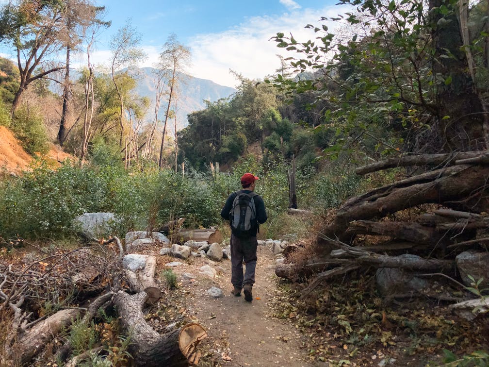
As you leave the parking lot, the trail begins to gently climb for approximately 2 miles (overall climbing 1,269 feet in elevation). The higher you go, the more spectacular the views become, with a panorama of the San Gabriel Mountains around every turn. Everything feels so fresh and green, having just recently reopened following a four-year fire closure. Chantry Flat is an extremely popular hiking area, but most hikers coming here are either heading for Sturtevant Falls or Mount Wilson, so this trail manages to feel serene and peaceful (especially the farther into the trail you go). You never really notice the trail reaching its peak elevation as there is no summit; it just eventually starts dropping down into the canyon.


After reaching the canyon floor, the rest of the trail follows the creek through the canyon, with several stream crossings (*as of this writing, creek levels are low and there are plenty of rocks to use when crossing, but be mindful that stormy weather can change this quickly). It is beautiful and lush, a surprising sight during the early winter season, creating a stunning contrast with the last remnants of the fall foliage.

The small Hoegees Campground is nestled on the canyon floor; signage marks where the old campground used to stand, and the Lower Winter Creek Trail picks up just below that before passing through the modern-day campground. Right before the end, the trail climbs back up for around half a mile to get back to the parking lot (and back to busy civilization).
Note: Always check weather and trail conditions before going; and download a map. Hoegees Campground/Upper & Lower Winter Creek Loop Trail is located in Chantry Flat. Adventure Pass required. The parking lot fills quickly (especially on the weekend), but paid parking is available at Adam’s Pack Station if the regular parking lot is full (located within the Chantry Flat parking area). Parking there is $25 and they have a small restaurant selling food and beverages (plus you can visit the donkeys!). Trailhead. Dog-friendly.
Story and photos by Natalie Bates, @wanderwithnatalie


