Paint Brushy

Hike a Loop at Brushy Peak Regional Preserve in Livermore

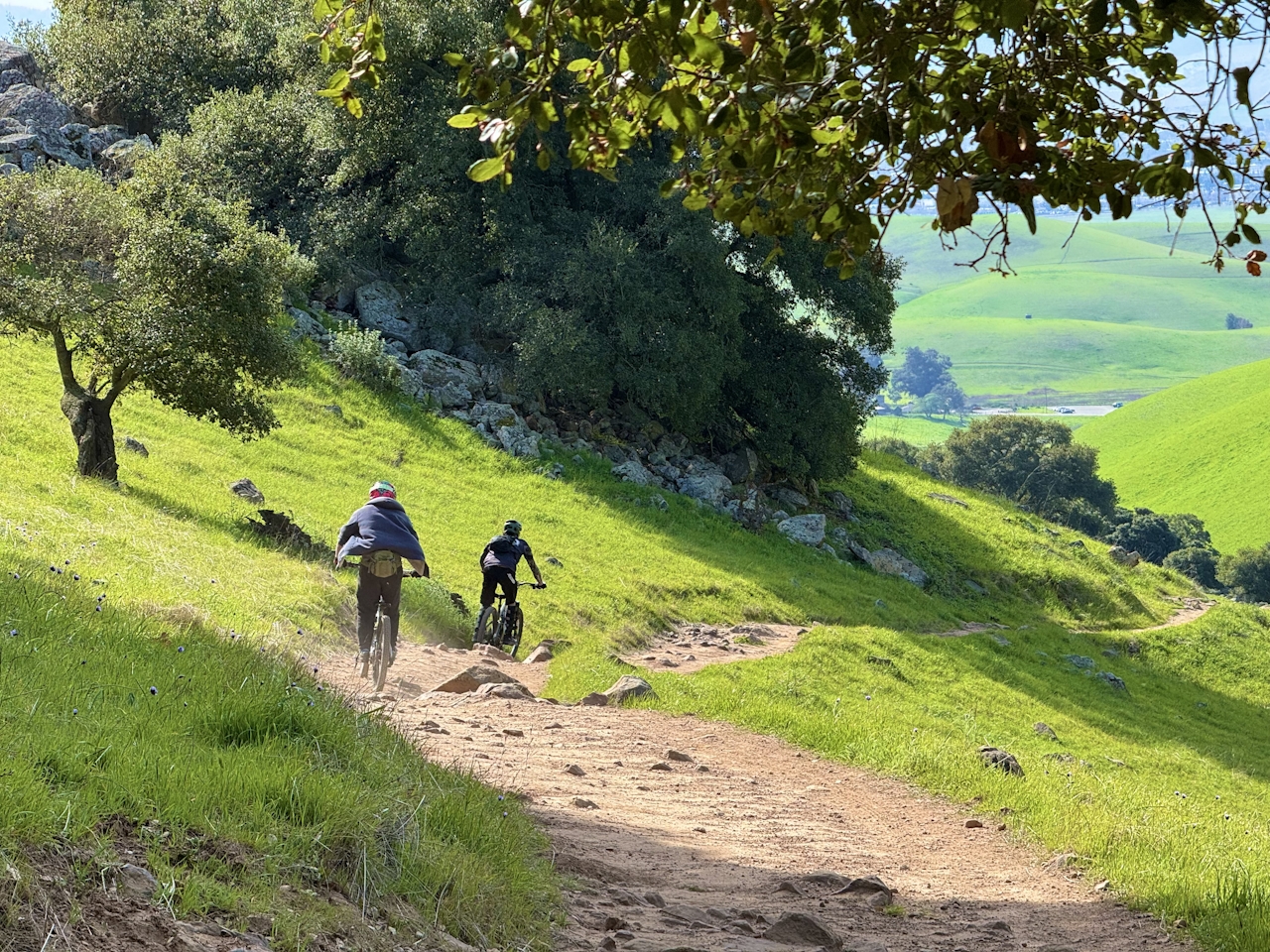
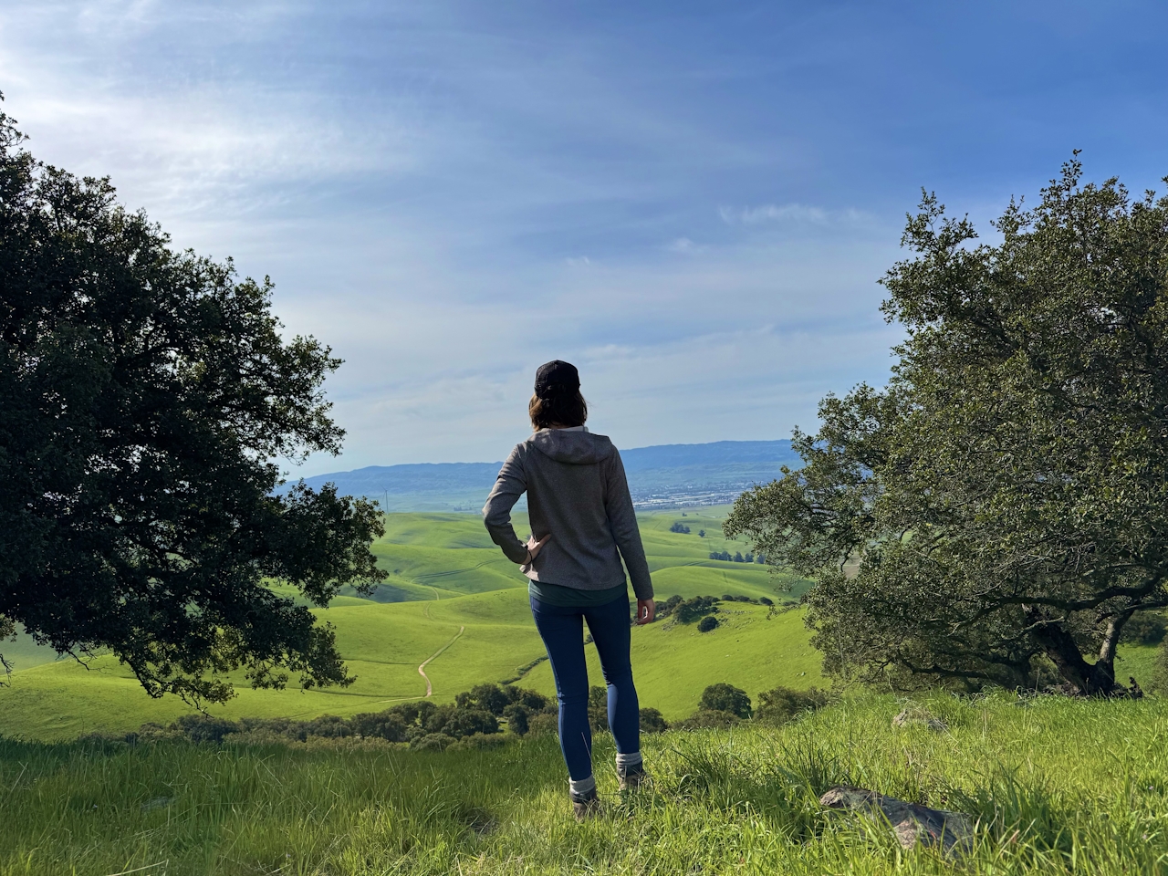
This time of year you’ll have good reason to head for the hills—the electric-green rolling hills of Brushy Peak Regional Preserve in Livermore. This 4.5-mile loop hike is like stepping into a plein air painting, with cattle casually grazing on surrounding meadows the color of spearmint.
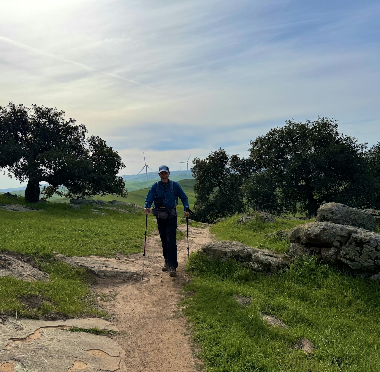
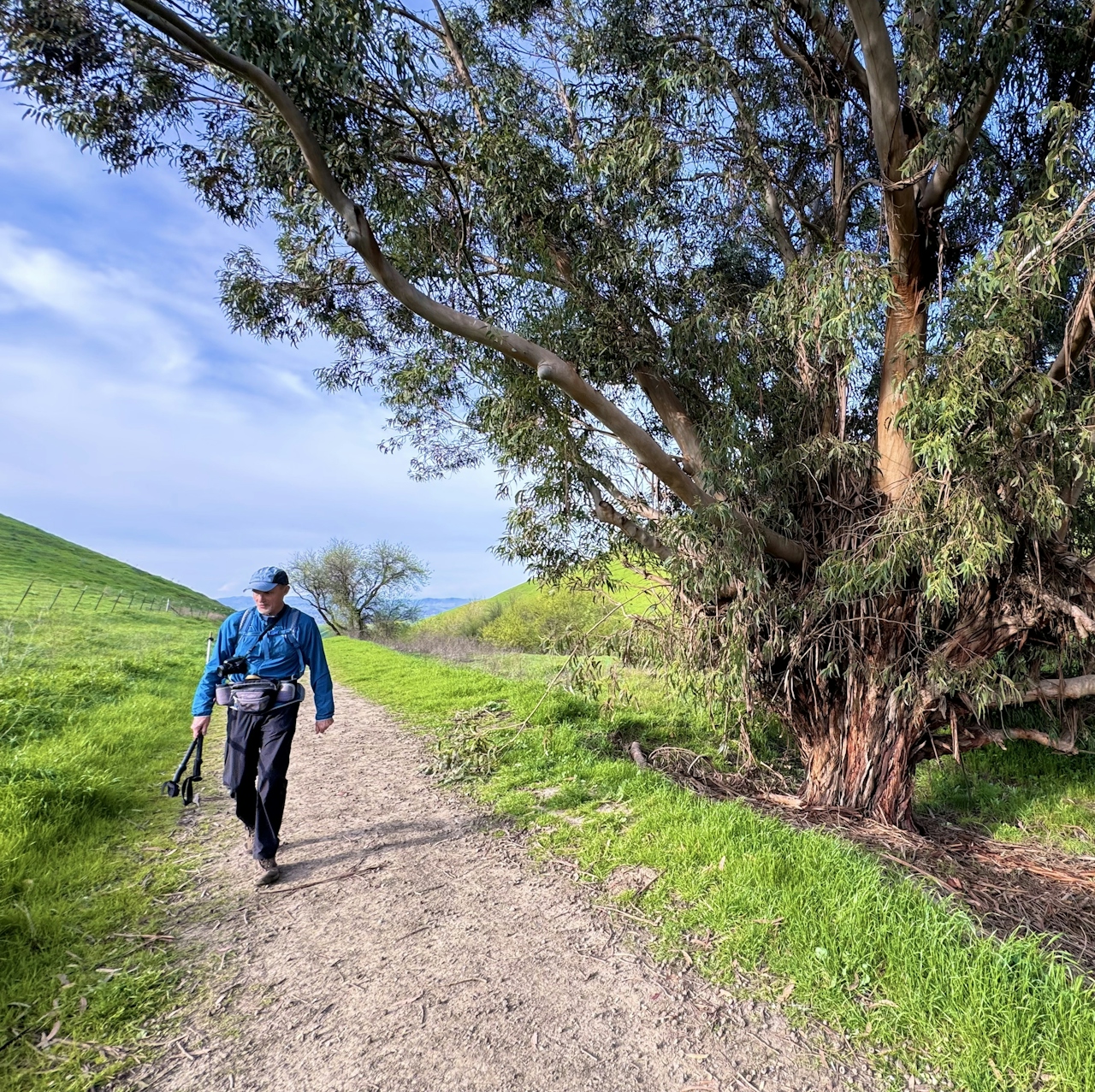
From the Laughlin Ranch staging area, head north through the cattle gate to begin the Brushy Peak Loop Trail. As the trail begins to rise up the side of the mountain, keep an eye out for patches of wildflowers weaving through the pastures. Bright purple lupin and yellow-orange fiddlenecks color the route.
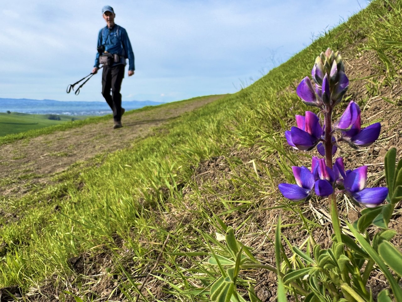
As the ground grows steep and rocky, several unofficial footpaths branch off from the main path, so be sure to continue following the official trail signs for Brushy Peak Loop Trail.
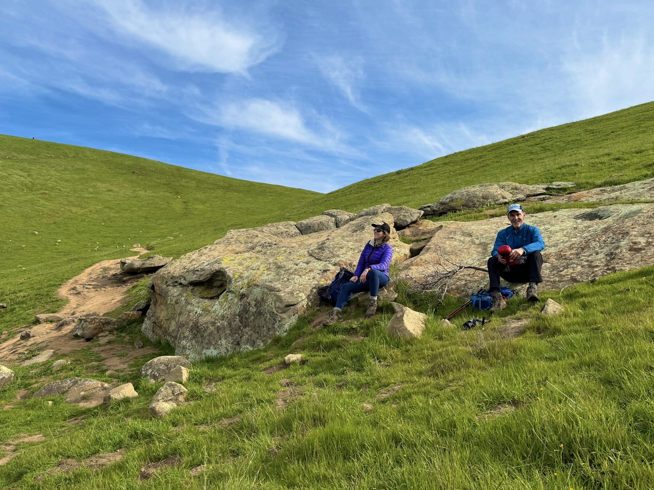
This final uphill section winds through a section of boulders and groves, a stark change from the grassland below.
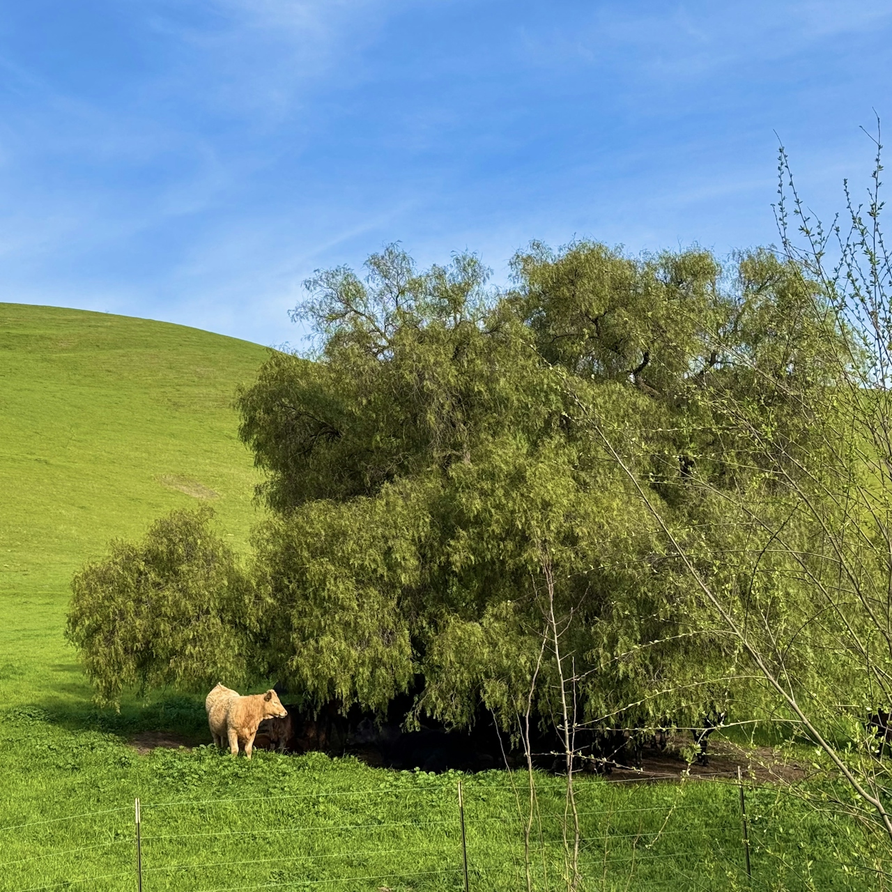

Finally, at 1,400 feet, you’ll reach the saddle between the mountain’s two peaks, the high point of the loop in all the ways: rolling emerald-green hills stretch from the Livermore Valley to the Diablo Mountain Range in the distance.
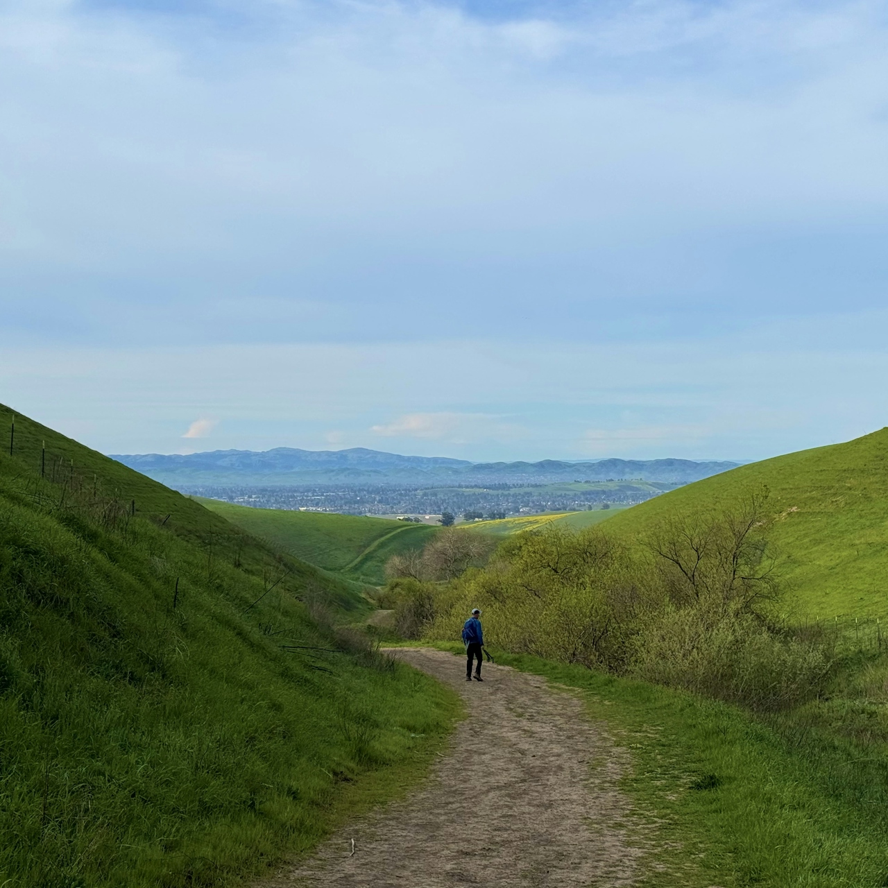
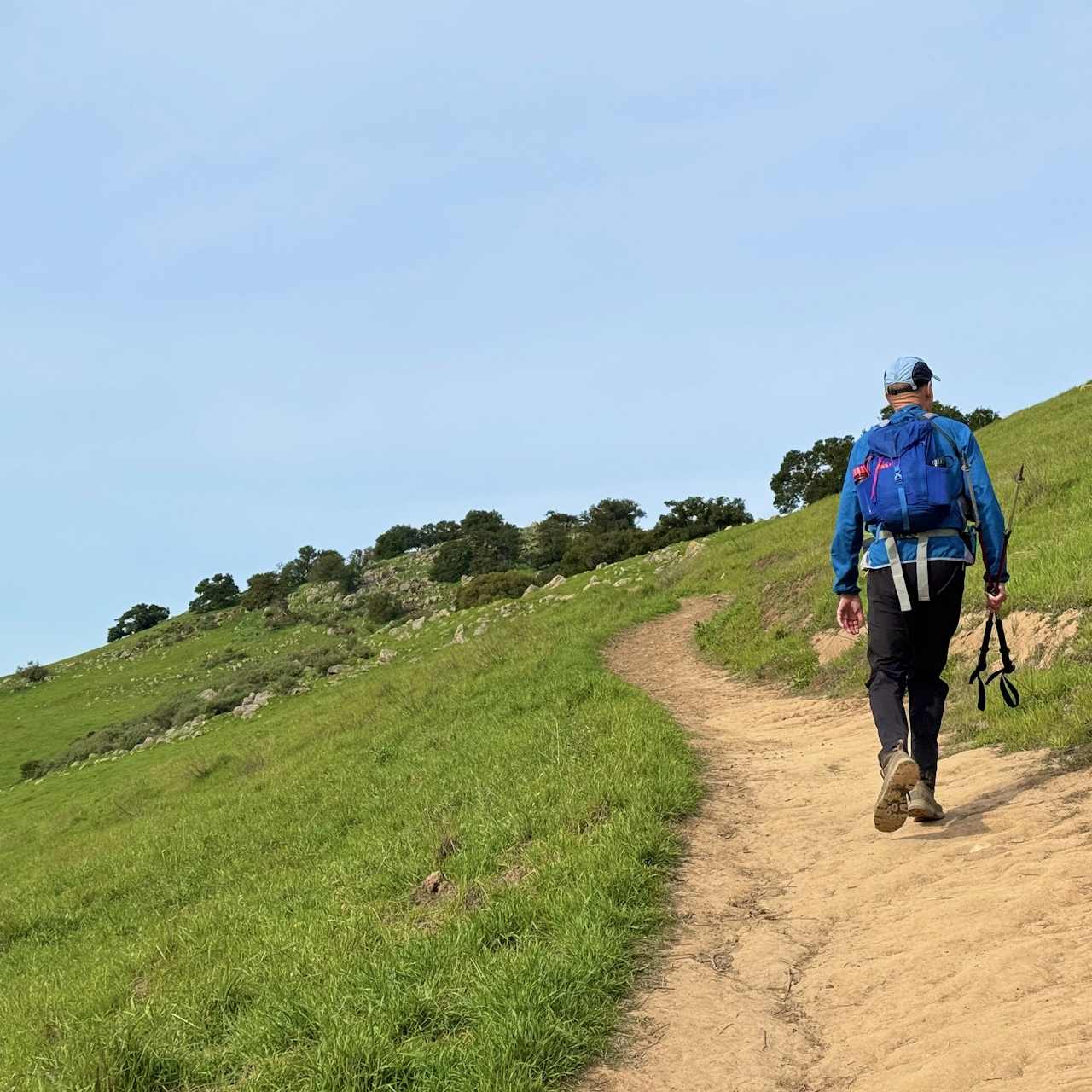
Continue down Brushy Peak Loop Trail as it descends through the rocky terrain. At the intersection with the West Side Loop Trail, turn left.
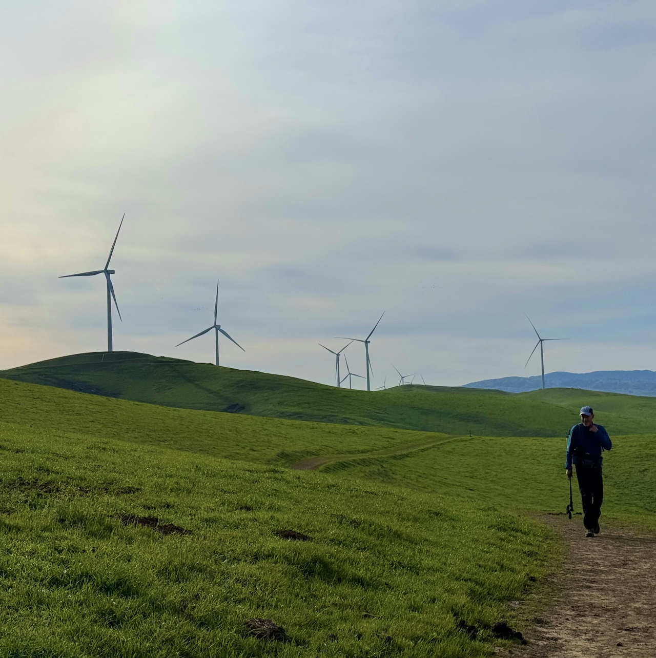
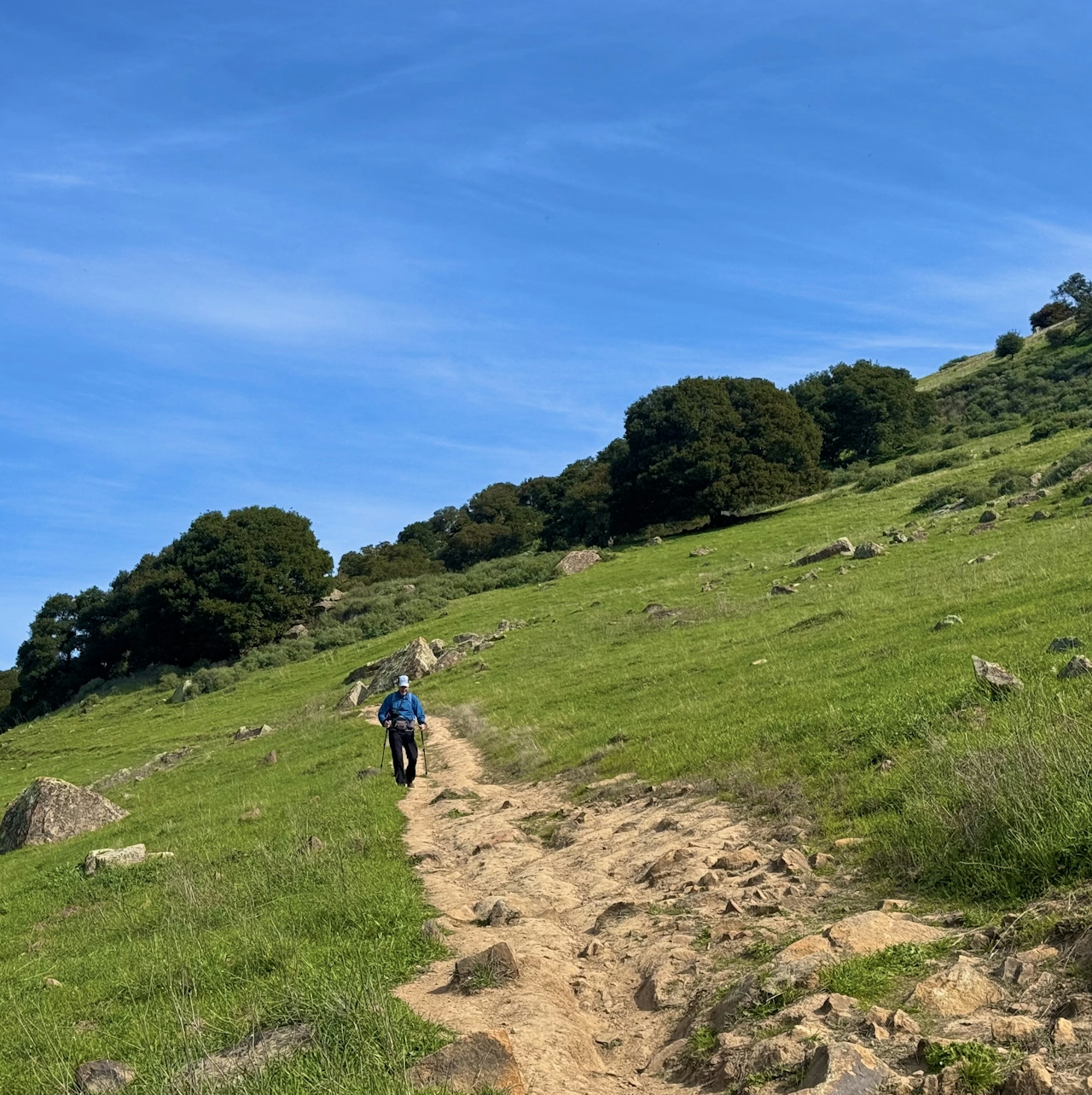
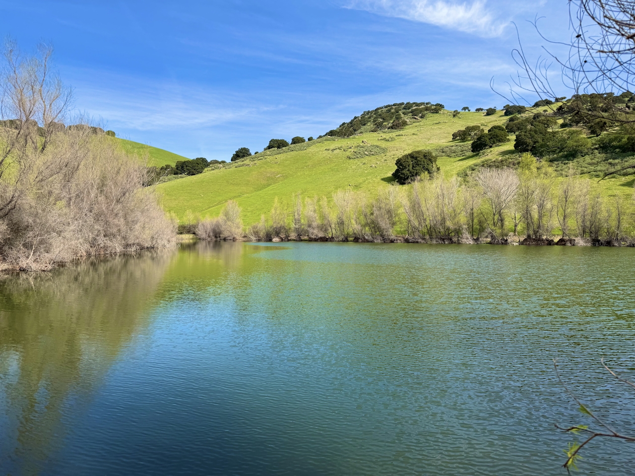
This gradual descent follows a seasonal creek and passes by a small pond filled with frogs, salamanders, and water fowl. Continue straight to return to the parking lot.

Brushy Peak Regional Preserve is located on Laughlin Rd. in Livermore. The park opens at 8 a.m. Check their website for monthly closing times, as they change. Dogs and bikes welcome.

Story and photos by Heather Werner, @heath.er.wer.ner
Trending Stories NorCal

View all Stories
  1. Woman with her arms outstretched to the rolling hills scenery while on a rock outcrop at Barnabe Peak in Samuel P Taylor Sate Park in Marin

    Barnabe Bonanza

    Sure, there are higher mountains in Marin (Mount Tam) and easier ascents (Mount Burdell), but is there a more expansive North Bay view? Barnabe Peak in Samuel P. Taylor State Park offers a glorious panorama including Mount Tam, Mount Diablo, and Mount St. Helena.

    View
  2. Tamtastic Sunset

    Sure, the East Peak of Mount Tam is absolutely spectacular at sunset, but some magic-hour enthusiasts head to a nearby spot, Trojan Point, for a little more personal space in their panoramic viewings.

    View
  3. Hiker on the SCA trail in Marin Headlands with view of the Golden Gate Bridge

    Headlands Over Heels

    People come from all over the world to get a glimpse of the Golden Gate Bridge. Get a dramatic and novel view of the bridge without all the people on this moderate 6-mile hike in the Marin Headlands.

    View

Trending Stories SoCal

View all Stories
  1. Lagoon Swoon

    We all love an underdog story, especially in the shadow of the greats. Enter a truly SoCal coastal version: Malibu Lagoon State Beach. Though situated next to Surfrider Beach, a fa

    View
  2. Woman hiking the San Onofre Bluffs Loop Trail to San Onofre State Beach in San Diego County

    Bluffing Good!

    Lovely coastline, beautiful beaches, unique geological history, and picturesque sandstone cliffs with limited foot traffic in San Diego County? Head to San Onofre State Beach and the 5-mile San Onofre Bluffs Loop Trail.

    View
  3. Can We Get a Whoop Whoop!

    City, mountain, and ocean views all in one hike? Whoop whoop! It’s no surprise the the Kenter Fire Road and Whoop-de-Doos Trail (a combo of fire road and singletrack) is a favorite among local mountain bikers and hikers alike.

    View