Pawfect Double

Dog-friendly LA hike with great views at Upper and Lower Canyonback Trails

Two hikers and a dog at Upper and Lower Canyonback Trails in Los Angeles County

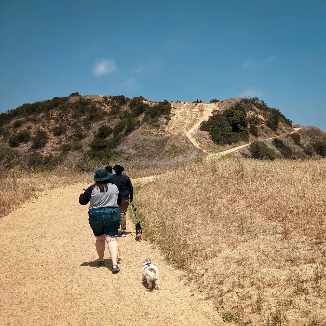
It might be the best doggone hike in LA! Double up on the fur-friended fun in the northeastern Santa Monica Mountains of the San Fernando Valley. Upper and Lower Canyonback Trails deliver a 7.75-mile (round-trip) moderate workout over two loops and countless panoramic city views. All in, it’s 800 feet of elevation gain. Starting at the Upper Canyonback trailhead, choose a fire road or a narrow use trail along the ridge heading south; both provide wonderful views (consider taking one on the way down and the other on the way back); and both allow for off-leash adventuring with your dog.
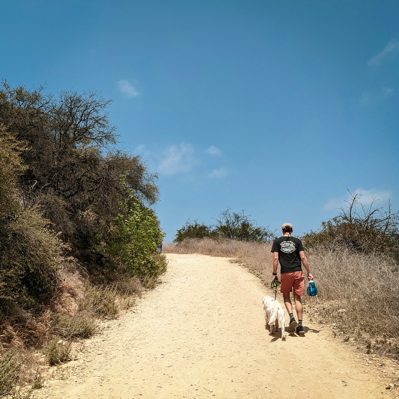
Hiker and a dog at Upper and Lower Canyonback Trails in the Santa Monica Mountains

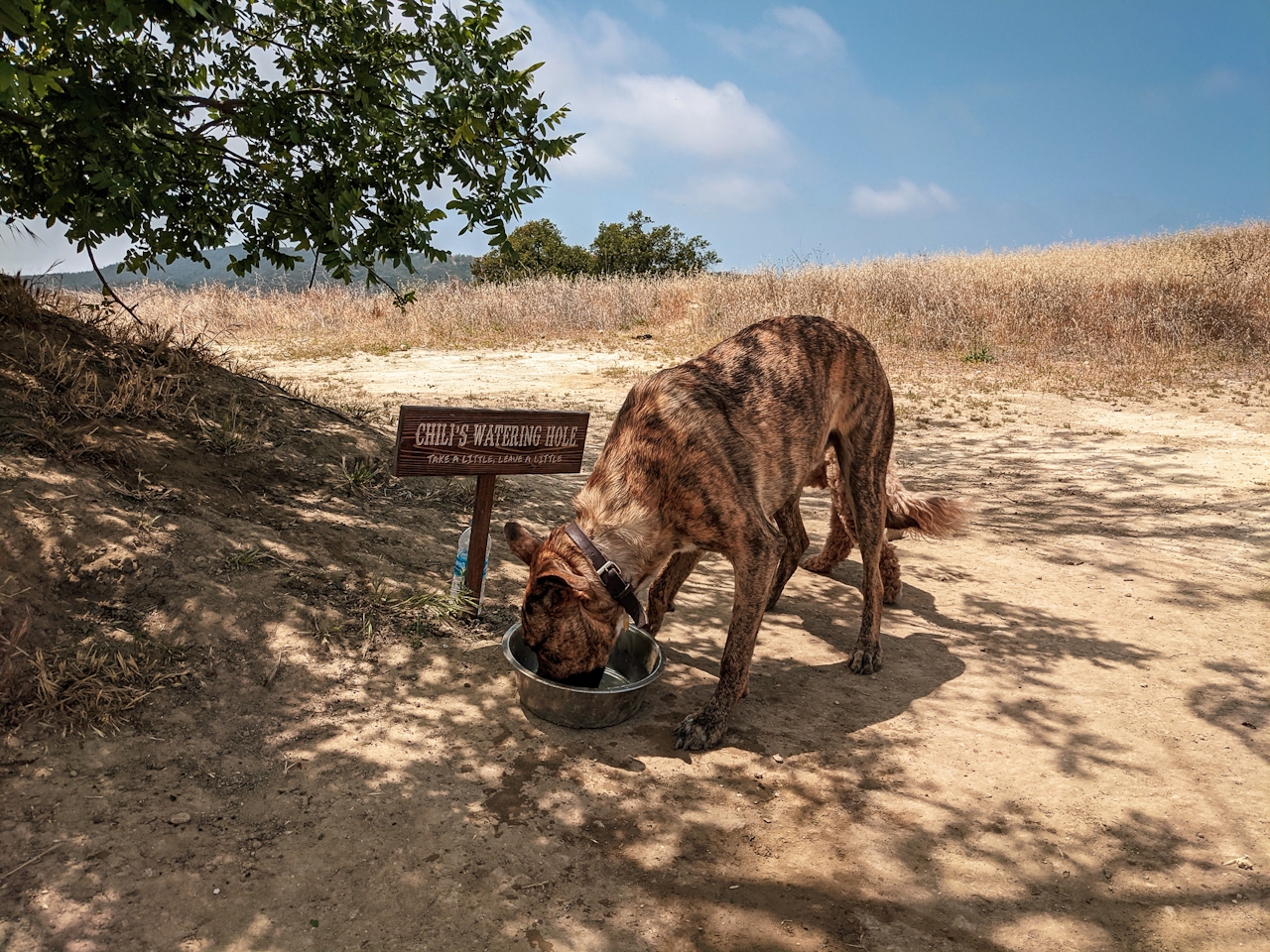
Dog drinking out of a waterbowl at a dog station at Upper and Lower Canyonback Trails in Los Angeles County

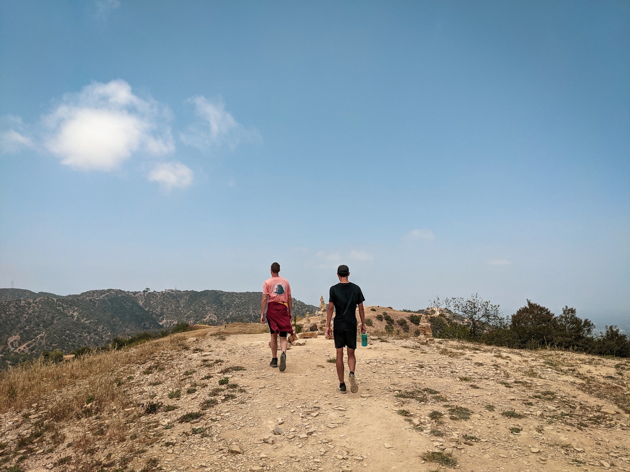
Two hikers coming to the crest of a trail at Upper and Lower Canyonback Trails in Los Angeles county

There’s a short spur trail on the left accessed by a short, steep climb (and quite a workout for you and your pup) to Canyonback Cairn with, you guessed it, multiple rock cairns balancing over the canyon. You can also opt for a side trip to the famous Cold War–era Nike Missile Site via the connecting Hollyhock fire road through Mandeville Canyon. Otherwise, the Upper Canyonback route continues south, with canyon views to the west as well as the summits of the Santa Monica Mountains and the Pacific. At the terminus of the Upper Canyonback Trail, take a short jaunt on the paved road to reach the Lower Canyonback Trail, which continues down to Brentwood.
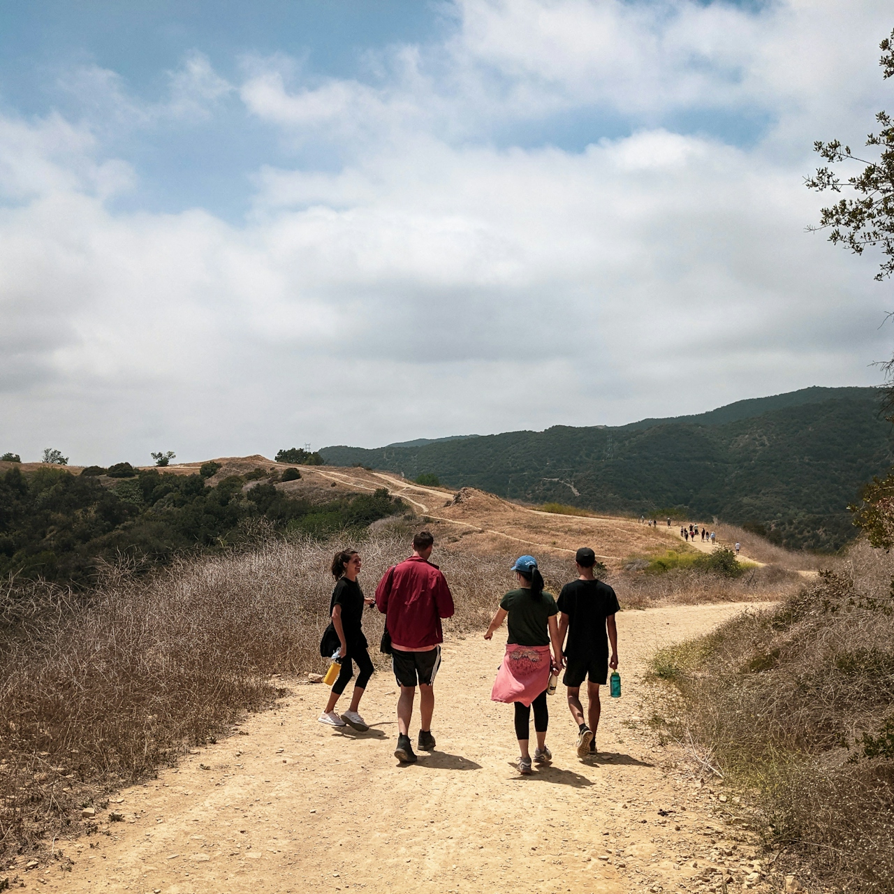
Group of four hikers on a wide dirt trail at Upper and Lower Canyonback Trails in Santa Monica Mountains

Two hikers with a dog going along a wide dirt trail at Upper and Lower Canyonback Trails in Los Angeles County

Along the way, find an ancient oak tree with a wooden bench swing. The ridge here has vast vistas as well as a great spot to rest those paws. After about 2 miles, the trail ends—this is your turnaround point for a difficult ascent back up to the dirt lot (or street parking) and your car. Be sure to stop at Chili’s Watering Hole on the fire road through Upper Canyonback, a memorial to a local pooch that now serves as a hydration station for resident rovers.

To get to the Upper Canyonback trailhead and lot, take the US-101 to Hayvenhurst Ave. and head south for 2 miles. Then, take a right onto Encino Hills Dr. After 1 mile, find the dirt lot or street parking and the trailhead. Alternatively, take the I-405 to Mulholland Dr. and head west for 3 miles to the trailhead. Dog-friendly (off-leash area included)!

Story and photos by Matt Pawlik

Trending Stories NorCal

View all Stories
  1. Walk on the Wise Side

    A wise man once said, “Walk it off.” And San Francisco has just the place for a colorful walk via a 2.7-mile loop along Philosopher’s Way Trail in the 318-acre John McLaren Park (S

    View
  2. Hiker on the SCA trail in Marin Headlands with view of the Golden Gate Bridge

    Headlands Over Heels

    People come from all over the world to get a glimpse of the Golden Gate Bridge. Get a dramatic and novel view of the bridge without all the people on this moderate 6-mile hike in the Marin Headlands.

    View
  3. woman hiking Mt Tam east peak
    Sponsored

    Marquee Marin

    There may be no better place to find the best in coastal outdoors than the Marin Headlands. Bluff-side hiking trails, beautiful sandy beaches, big Pacific views, an iconic lighthouse, and unique lore in the area’s historic batteries are all part of the action here.

    View

Trending Stories SoCal

View all Stories
  1. Woman hiking the San Onofre Bluffs Loop Trail to San Onofre State Beach in San Diego County

    Bluffing Good!

    Lovely coastline, beautiful beaches, unique geological history, and picturesque sandstone cliffs with limited foot traffic in San Diego County? Head to San Onofre State Beach and the 5-mile San Onofre Bluffs Loop Trail.

    View
  2. Can We Get a Whoop Whoop!

    City, mountain, and ocean views all in one hike? Whoop whoop! It’s no surprise the the Kenter Fire Road and Whoop-de-Doos Trail (a combo of fire road and singletrack) is a favorite among local mountain bikers and hikers alike.

    View
  3. The Big Chill

    In LA, finding a place to chill can be the ultimate flex. So flex, in Franklin Canyon! This unexpected oasis has plenty of shade, cool lake breezes, and ample picnicking spots. Enjoy it on an easy-going 1-mile stroll along its reservoir and duck pond.

    View