Baldy's Got Game!
Disc Golf on Mount Baldy


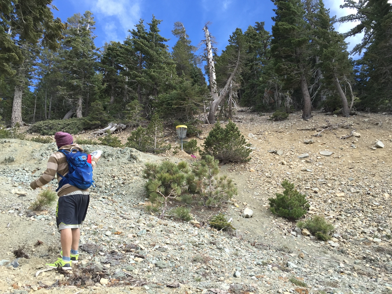
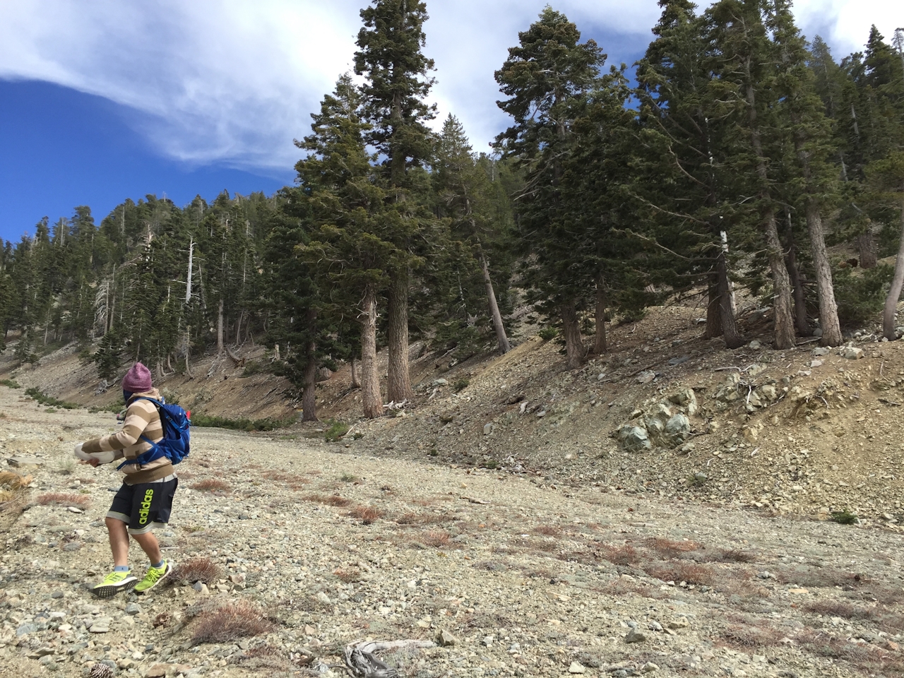
Okay, disc golfers, ready to get your game on near the top of LA County’s highest point? Hikers know Mount Baldy is home to a summit clocking in at over 10,000 feet, but lesser known is that it’s also home to an “extreme” 18-hole disc golf course. Starting just off the main ski lift next to the Top of the Notch restaurant (7,800 feet), the 2-mile course begins in a steep, rocky gulch under a zipline course surrounded by sugar pines.
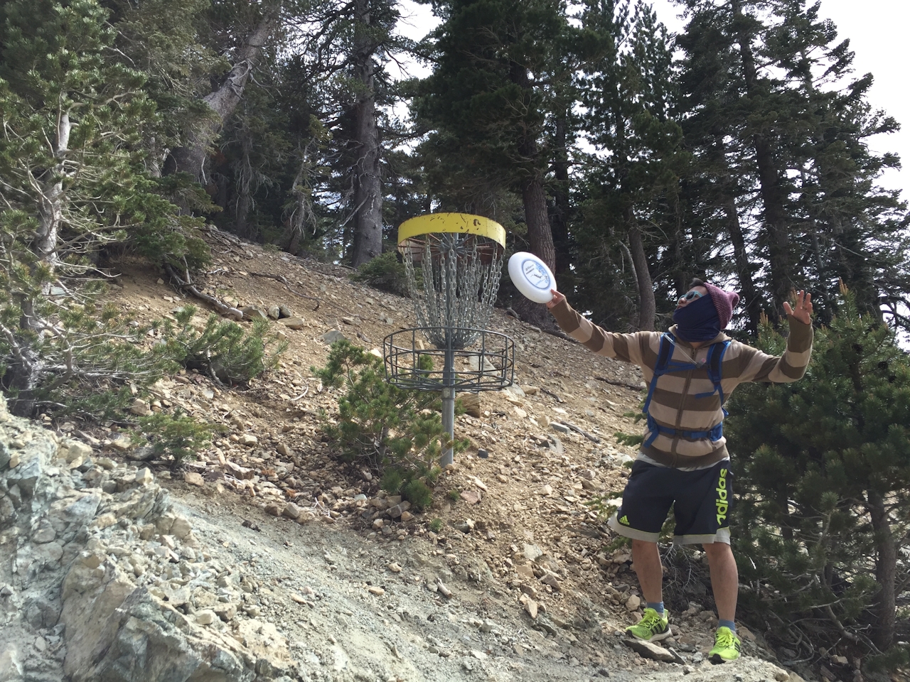
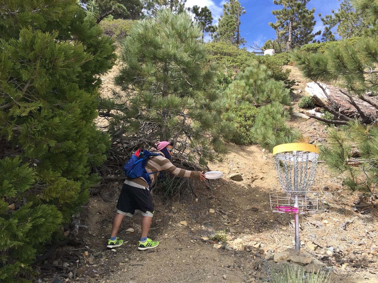
At the base of the ravine, the course veers left to Turkey Run. After 9 holes, return the way you came, hitting the same holes, only this time uphill! In other words, if you have bad aim, you’ll get quite a workout retrieving misfired discs. Be sure to explore the various incredible viewpoints, particularly the eastern view of the San Bernardino mountain range just over the hill behind the first (and last) hole. You can print a map (recommended) as the course can be tricky to maneuver even for the most experienced disc golfer. Holes are often hidden on steep slopes of loose rocks. The “tees” are dirt ramps, always pointing in the direction of the next hole, which helps keep you on track.
BONUS HIKE & BEERS: There are two ways to reach the start of this course: the hard way, and the easy way. The hard way is to park at the base of the mountain and hike 3 miles of switchbacks and 1,300 feet of elevation up a fire road/dirt trail combination starting at Manker Flats Campground. The easy way: take the ski lifts to the Notch. Either way, the Notch is a bonus, with live music, BBQ, and local beers on tap.
To get to Manker Flats Campground or the ski lifts, from I-210 take the Base Line Rd. exit and go west. Take the first right onto Padua Ave. and continue north, making a right onto Mount Baldy Rd. Look for the campground on your right, just after the intersection with San Antonio Falls Rd. If heading to the lifts, continue on Mount Baldy Rd. until it ends at the lift parking lot. Parking is $5; round-trip lift tickets are $25. Dog-friendly! Open Friday through Sunday until late due to events (call for last lift time). Disc rental for $3. Map..







