Bewitching Buzzard
Bag Buzzard Peak in Los Angeles County


There's a hidden hill hike named after SoCal’s sinister scavenger—the turkey vulture—nestled between the Forest Lawn Cemetery and Mount San Antonio College in Covina. The San Jose Hills provide the setting for a scary good 4.25-mile out-and-back workout that takes you to its apex, 1,345-foot Buzzard Peak, for 360-degree views and not a soul in sight.
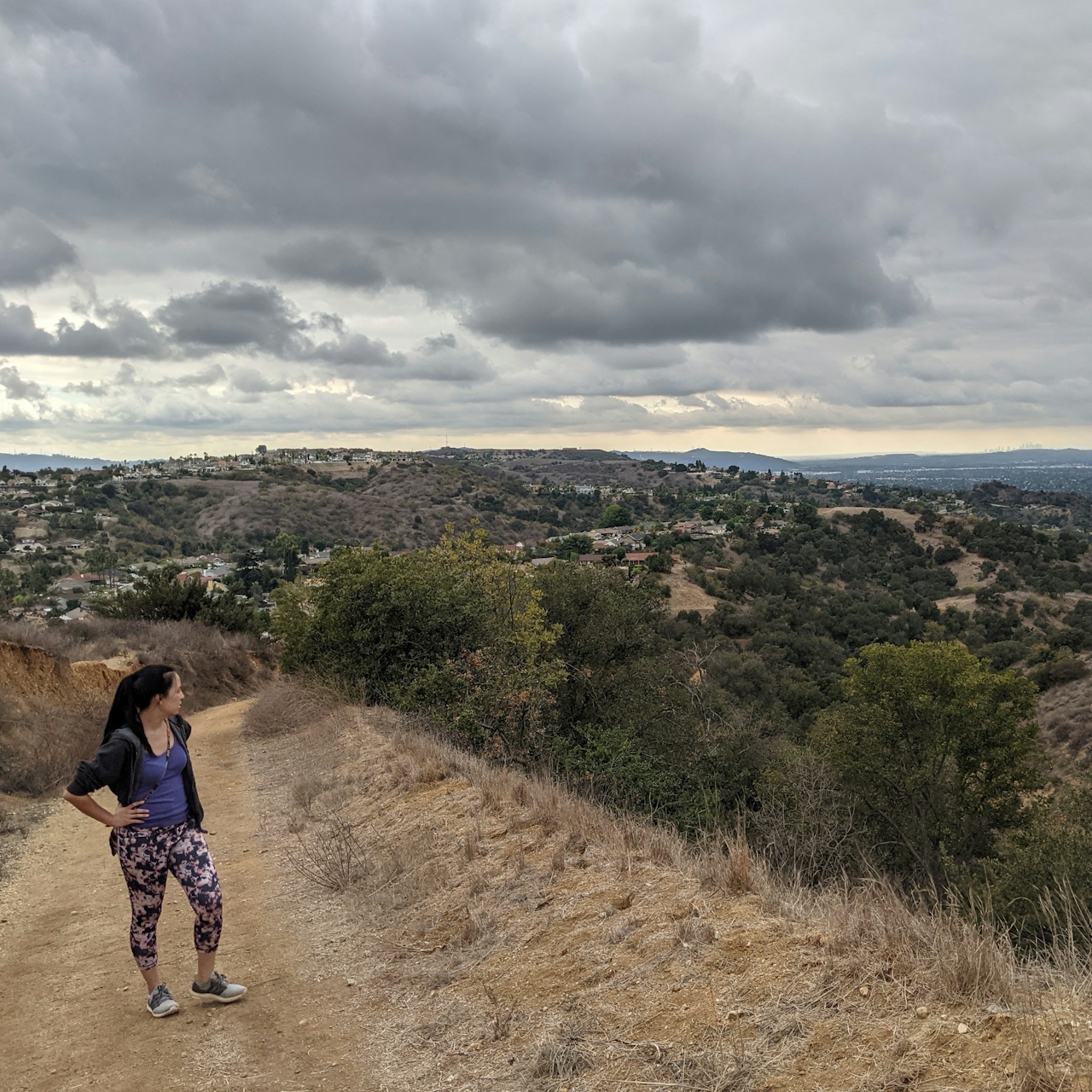
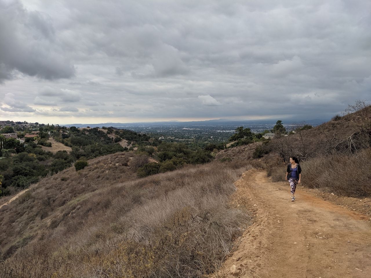
Because the official trailhead is on a busy street, park at nearby Heritage Park (where you can also check out the historic Taylor House, an early 20th-century Craftsman) and walk east on Cameron, crossing at the light and turning right onto Grand Avenue. At half a mile, find the Schabarum Trail signage and trailhead on your left ascending into the hills. The street noise immediately fades away as you quickly climb and are rewarded with fantastic views into the San Gabriel Valley to the north and the namesake mountain range.
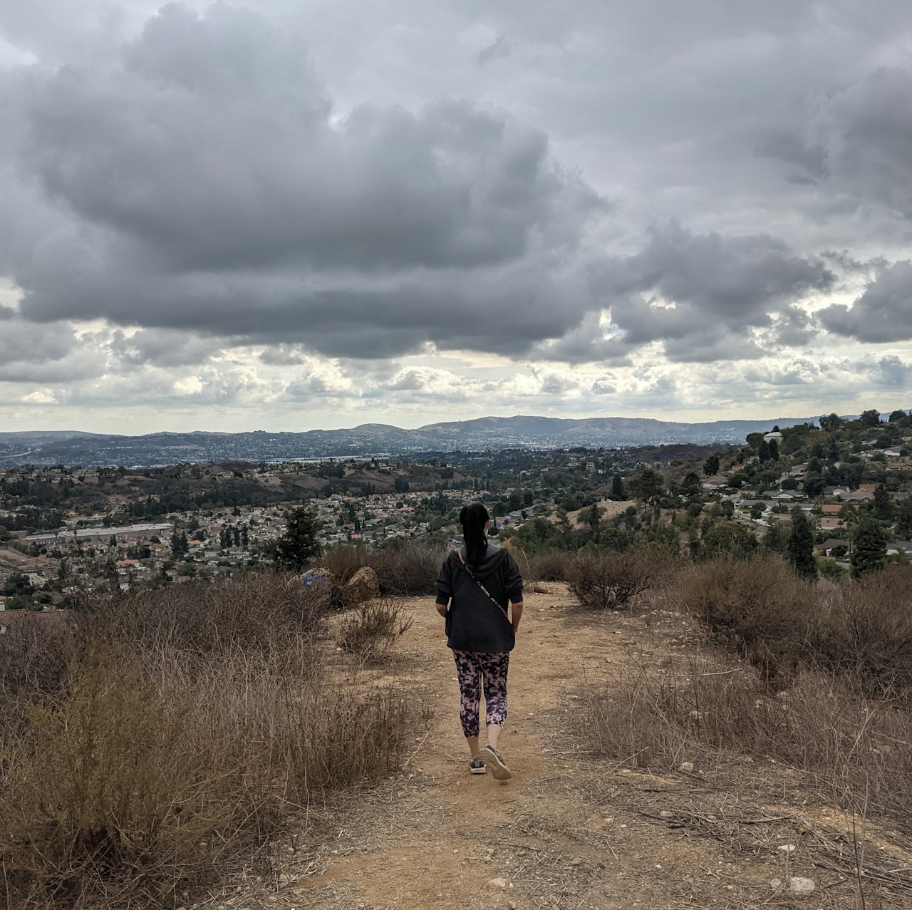
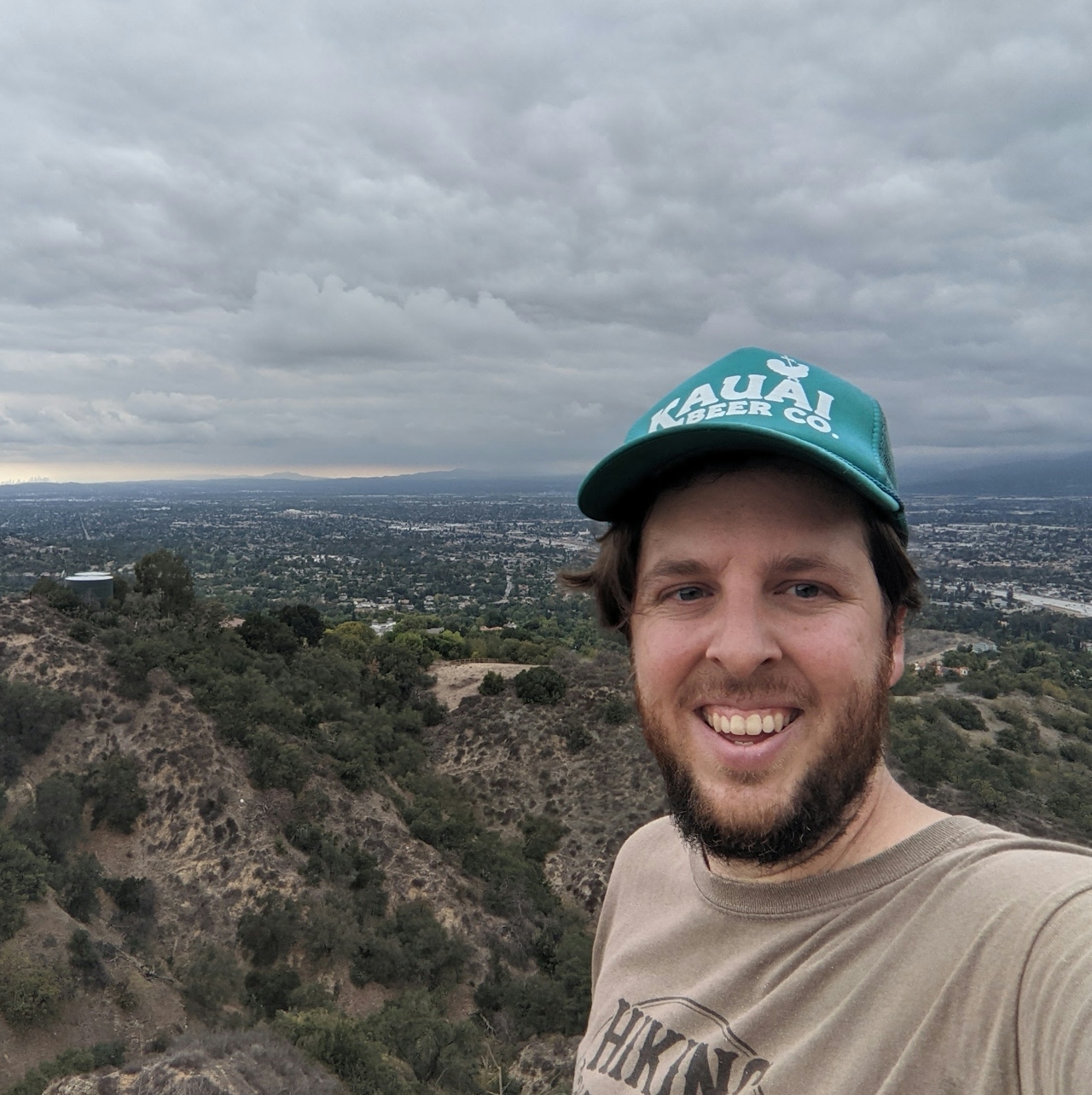
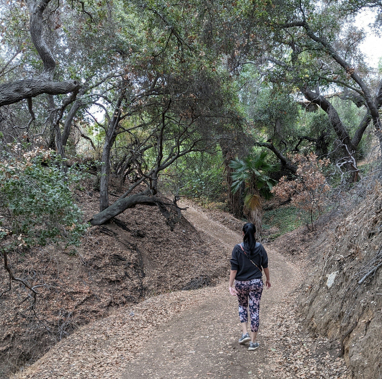
The path then descends into a heavily wooded oak canyon—it becomes eerily quiet here, though residential areas do surround the trail. Pass an abandoned teepee and remnants of a treehouse. The seclusion is serene, though after 1.2 miles on the trail you reach a fire road that steadily climbs to your summit. You now have fantastic vistas to the south overlooking neighboring Mount San Antonio College and Chino Hills in the distance. As you reach the top, look for a firebreak trail that ascends sharply to the official peak.
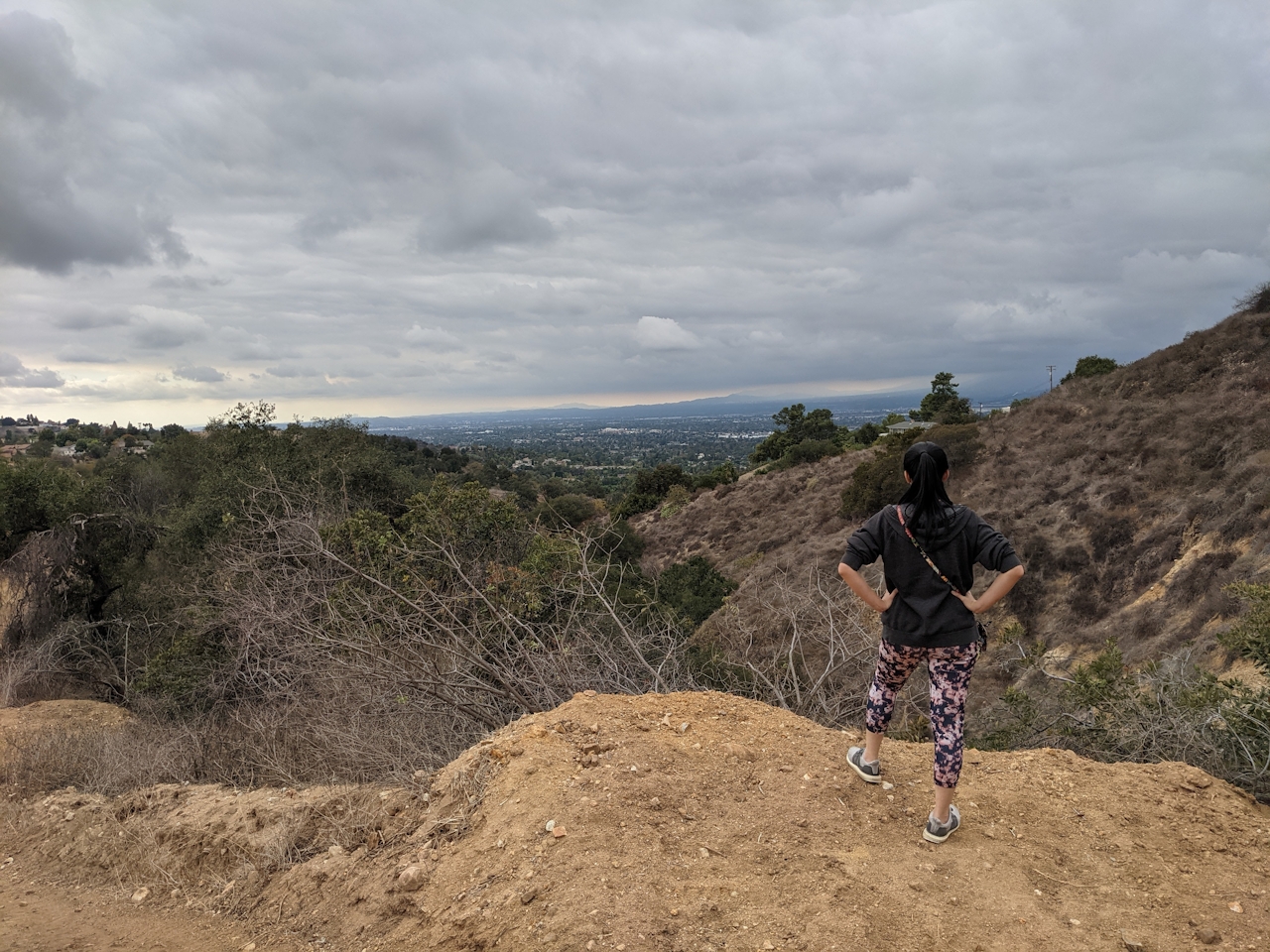
At the top, you’ll likely be alone—a great time to search the skies for the resident birds. Buzzards, also known as turkey vultures, are like an airborne Halloween mascot. You also get inspiring 360-degree views from the peak, featuring the Santa Ana and San Bernardino Ranges as well as a truly unique vantage point of the distant skyline of downtown Los Angeles. Head back the way you came.
To get to Heritage Park (and eventually the Buzzard Peak trailhead), take the I-10 to the Grand Ave. exit in Covina and head south for 1 mile before turning right onto Cameron Ave. The park and lot will be on your left in 0.2 mile. Dog-friendly!
Story and photos by Matt Pawlik







